AeroPoints™, Propeller’s smart ground control points, were designed to be used in five different ways. Below, we break down how to use AeroPoints in a variety of scenarios. Use this guide to develop a drone surveying workflow that suits you the best.
Please note that option one (using within Propeller Corrections Network coverage) is encouraged wherever possible. Also, for each method there are differing logging and placement requirements that should be adhered to.

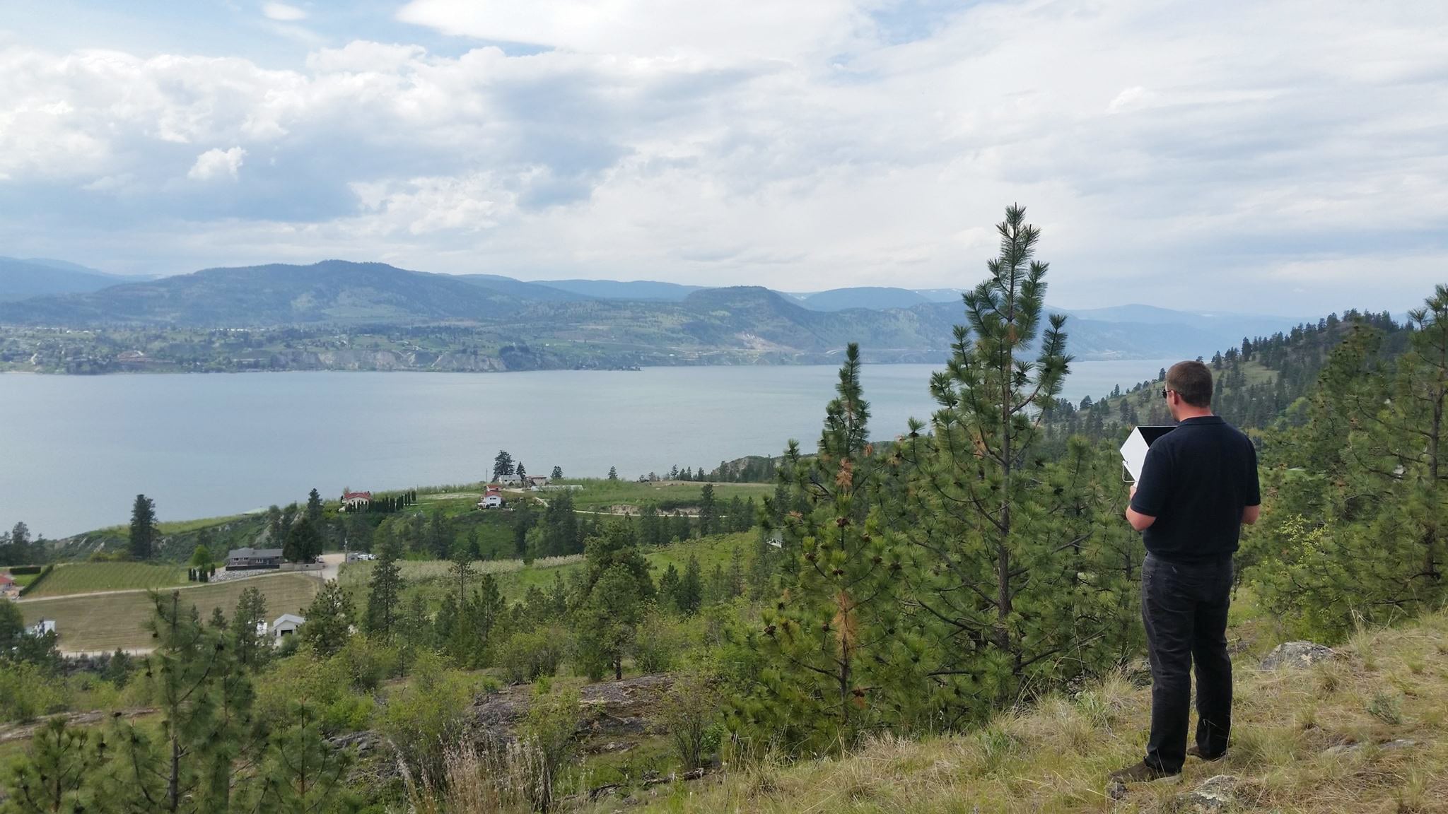
1. The best way to use AeroPoints: Fully automated processing in with the Propeller Correction Network
Propeller has an extensive corrections network in many countries. And it continues to expand—all the time. As more drone teams around the globe start using smart ground control points, our network becomes more and more widespread.
Automated processing is definitely the best way to use the AeroPoints. It ensures you have shorter turnaround time and enjoy all the efficiency benefits AeroPoints can provide. (Let us know if you’re not on the map today—we’re expanding our coverage network every week.)
(We strongly recommend collecting the AeroPoints in reverse order for all methods to get the best possible result.)
See the best way to collect your AeroPoints:
For this method:
- Global accuracy: The best available; 20mm/20mm/50mm
- Consistency: The best available, 20mm/20mm/50mm
- Internal accuracy: 10mm or less—precise internal reconstruction
2. Using Your Own Corrections
We can use RINEX formatted GNSS observations for the period of your survey as the reference point.
Note that the RINEX file must contain an accurate location for the base, measurement method, the antenna type and height in the header. This information will be used to calibrate your AeroPoints.
For this method:
- Global accuracy: the best available,20mm/20mm/50mm
- Consistency: the best available, 20mm/20mm/50mm
- Internal accuracy: 10mm or less—precise internal reconstruction
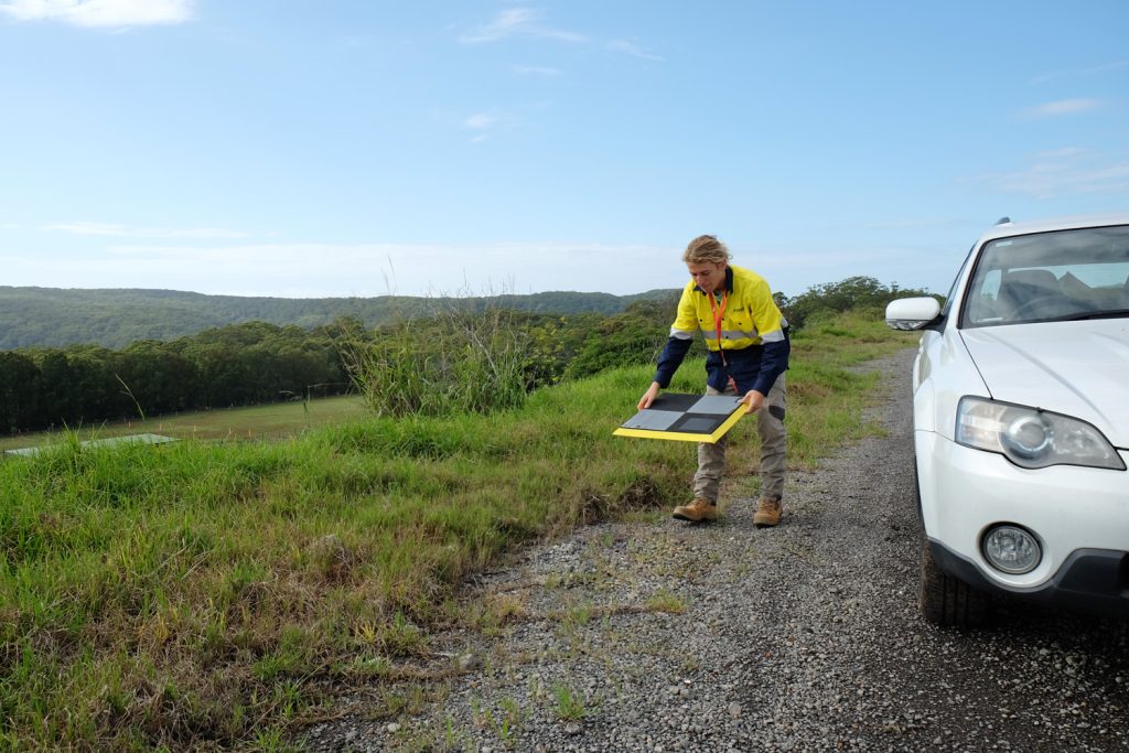
3. Using an AeroPoint as a Base Station on a Known Mark
You can place one of the AeroPoints at a known survey mark or benchmark location. It needs to be activated for the duration of the survey. We can then use this AeroPoint, combined with the known coordinates of that mark, as the reference point for the other AeroPoints in the survey.
Note: the first AeroPoint unit that you place must be on the known mark.
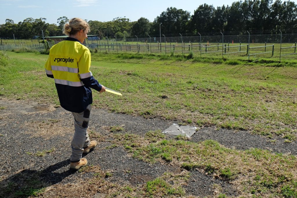
Placing an AeroPoint over a known survey mark.
For this method:
- Global accuracy: If you place the AeroPoint accurately, the best available, 20mm/20mm/50mm (plus the accuracy of the mark itself)
- Consistency: If you use the same known mark each time, the best available, 20mm/20mm/50mm
- Internal accuracy: 10mm or less—precise internal reconstruction
4. Using an AeroPoint as a Makeshift Base Station
If there are no known marks, the accuracy of your data globally will be reduced. However, you can still use AeroPoints to get results that line up with each other over time.
Find somewhere recognizable that won’t move. Use that space to establish your own “mark.” The first time, we’ll calculate an estimated point, accurate to 50cm. After that, treat the coordinate as a “known mark.” You’ll need to place the AeroPoint on this exact mark each time.
To calculate an estimated point, the unit being used as a “known mark” should be placed first and have at least two hours of logging time.
For this method:
- Global accuracy: 500mm/500mm/500mm
- Consistency: If you use the same known mark each time, the best available, 20mm/20mm/50mm
- Internal accuracy: 10mm or less—precise internal reconstruction.

5. Provide local grid calibration
If your site has a local grid, you can set it up in Propeller using your site calibration data. Then, process your AeroPoints with the Local Site Survey Benchmark correction method. This will yield coordinates in your site’s local system.
Please note that Local Coordinate Systems and Local Site Survey Benchmark processing options are only supported when processing data sets using AeroPoints with the Propeller or Stratus platforms. If you would like more information, please contact us.
For this method:
- Global accuracy: Depends on the global accuracy of your site
- Local accuracy: the best available, 20mm/20mm/50mm
- Consistency: the best available, 20mm/20mm/50mm
- Internal accuracy: 10mm or less—precise internal reconstruction
Below is a table comparing accuracy and time requirements for these different methods:
Visit our AeroPoints page to learn more about smart ground control technology.