From site capture to Autodesk, without the manual handoff
What you can do
Export DXF and DWG-ready files from Propeller
Propeller exports DXF files compatible with AutoCAD and Civil 3D. Bring measured terrain data, cut/fill surfaces, and site geometry straight into your Autodesk design environment for further analysis or as-built documentation.
Import design surfaces from Autodesk into Propeller
Bring your Civil 3D design surfaces into Propeller as reference layers. Compare real site conditions against your design model to catch issues early and keep earthwork on track.
Keep design and field data in sync
As site conditions change, updated Propeller data can flow back into your Autodesk workflow. Your design team works from current ground truth, not a snapshot from last month.
Support as-built documentation
Export high-precision surface data from Propeller in DXF format and bring it into AutoCAD or Civil 3D to document finished conditions. Accurate, timestamped, and ready for handover.
Why teams use Propeller with Autodesk

Formats your team already knows
DXF and LandXML exports drop straight into the Autodesk tools your engineers and surveyors already use.

No rebuilding from scratch
Propeller fits into existing Autodesk workflows rather than replacing them. Add site capture data without changing how your team works.

Design meets reality
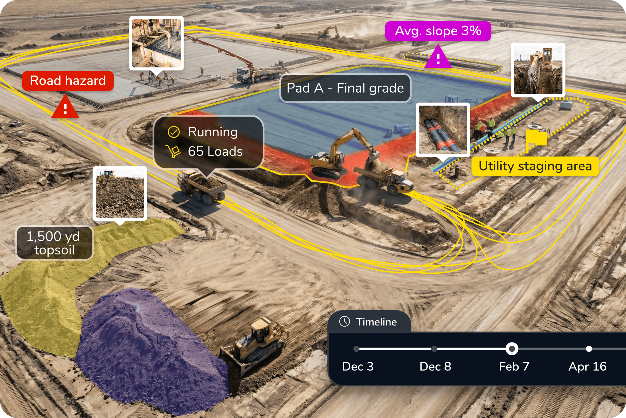
Import your Civil 3D surfaces into Propeller and compare them against drone survey data to verify earthwork before issues become rework.
Ready to learn more?
Request a demo to understand how you can integrate Propeller into your current instance of Autodesk or how to implement the both into your current business.