A 2018 study by PlanGrid and FMI found that rework caused by miscommunication cost the U.S. construction industry more than $31 billion—and that was before the labor, material, and fuel prices of 2022.
In other words, miscommunication on a worksite has a distinct cost. And rework isn’t even the worst-case scenario; job sites are dangerous, and miscommunications can lead to injury or even death.
Strong communication on your worksites can help prevent mistakes, keep workers safe, and preserve project budgets and timelines.
With that goal in mind, here are three simple ways contractors can improve communication between field and office teams for maximum effectiveness.
#1: Make it mobile

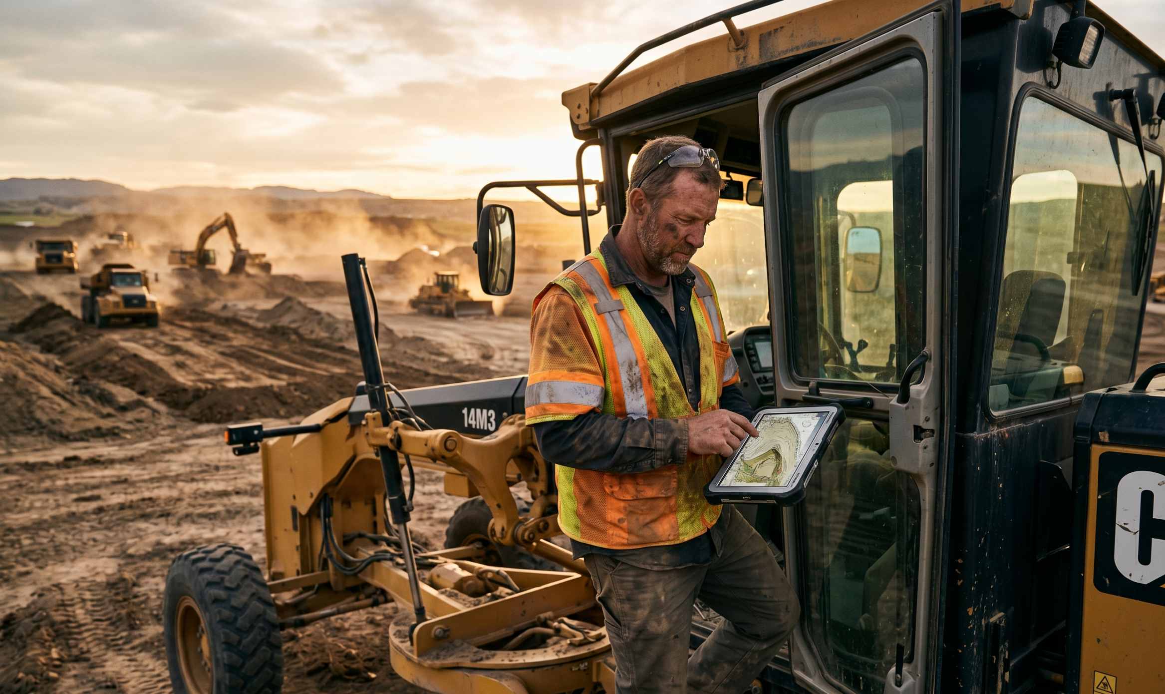
AGC’s 2021 Construction Hiring and Business Outlook Report found that nearly 70% of contractors use cloud-based mobile software daily. And for good reason; leveraging mobile devices is one of the best ways for field and office teams to collaborate.
The cloud makes it possible for office workers to send instructions to field teams in real time, and for onsite workers to send pictures and on-the-ground data back to the office as soon as they collect it.
Communication isn’t the only benefit, either. Desktop-based software often requires expensive licenses or in-depth training, so only a select few people can use it on specific machines. If those computers—or the people trained to use them—aren’t available, you can’t use your data effectively.
Mobile, cloud-based construction software can be accessed anywhere, from any device, by any user. This means that teams can make faster data-driven decisions, whether they access the information on laptops, tablets, or smartphones.
#2: Leverage high-accuracy data
A shocking number of contractors are operating with bad data. FMI and Autodesk found that 80% of contractors believe that at least 20% of their data is flawed, meaning that most contractors don’t fully trust their information.
If you’re operating on bad intel, finger-pointing and disputes between field and office teams become more likely. (No surprises there.)
Without reliable data, only the field team knows what’s going on; and even then, each team often sees only a small piece of the puzzle. Foremen and supervisors can only do so much based on visual evidence and gut feeling. Reliable data is essential for solid decision-making and trustworthy communication.
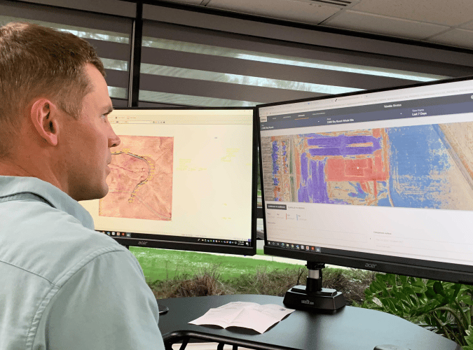
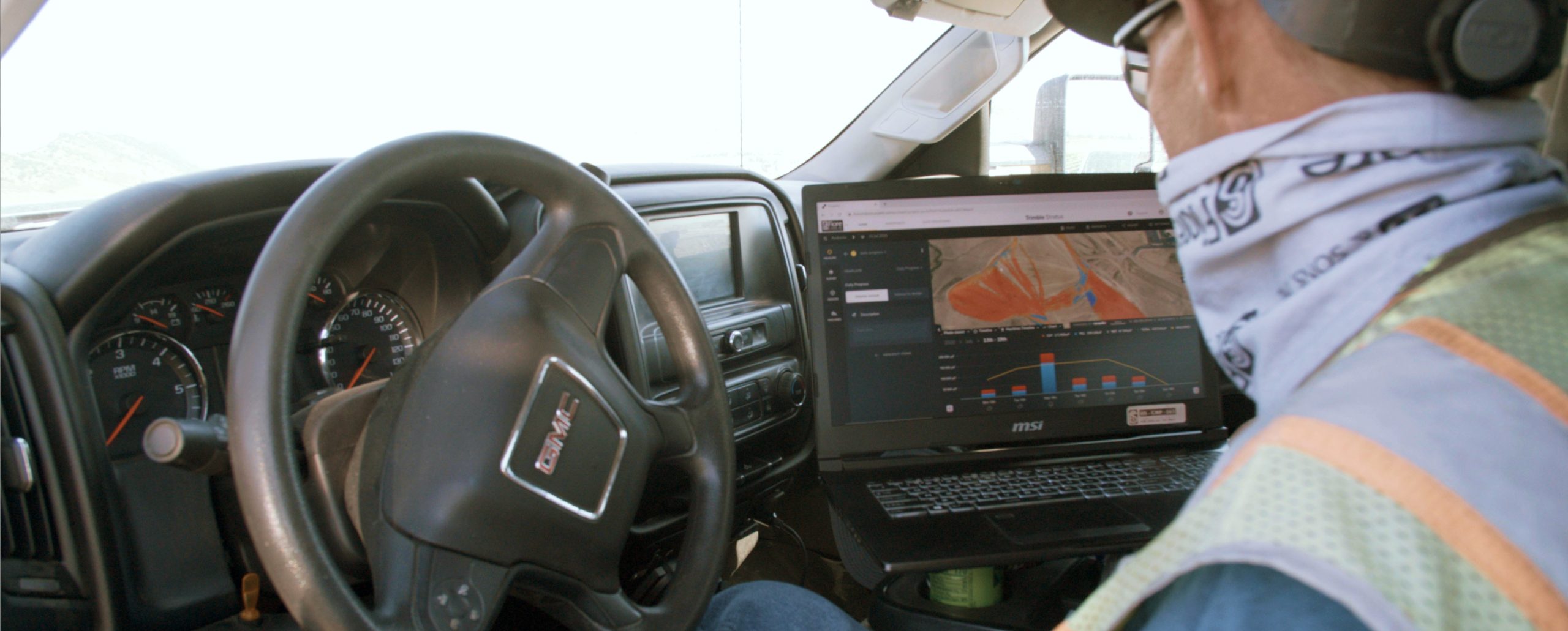
With high-accuracy survey data from workflows like Propeller PPK and DirtMate, you can create near-real-time 3D maps of your worksite that keep field and office teams on the same page. Propeller yields survey results accurate to 1/10 foot to ensure you’re getting the survey-grade results you need.
#3: Stick to a single source of truth
Finally, don’t communicate across several platforms when one will do. If comms are spread across email, text, instant message, internal systems, and word of mouth, it’s no wonder that miscommunications arise between field and office teams.
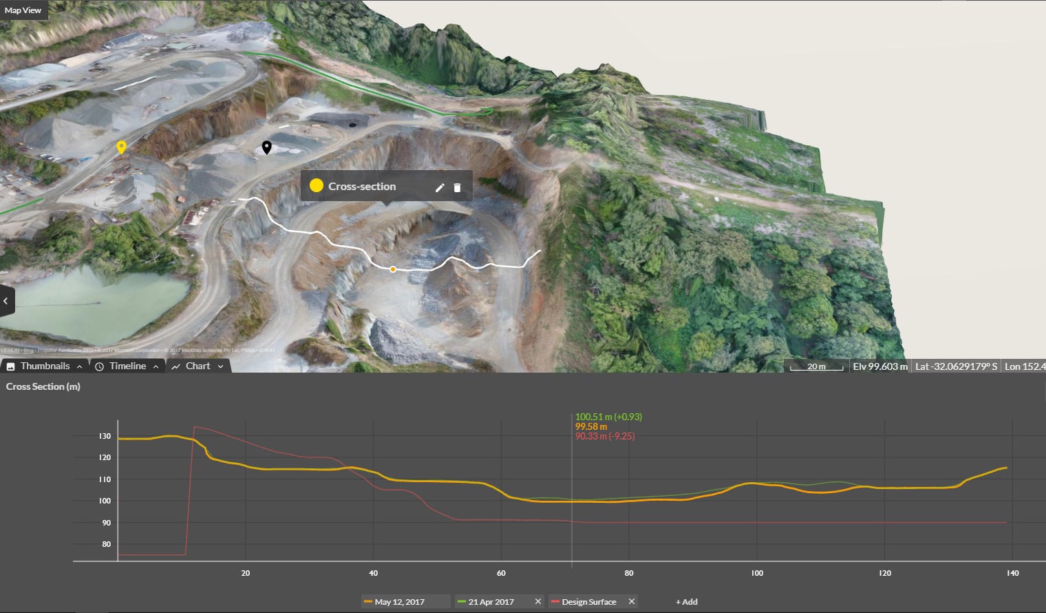
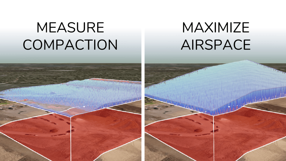
Streamline your communication by keeping all your data (and directions) in one place. Propeller’s interactive, cloud-based platform enables you to visualize your site surveys and use point-and-click measurement tools to track material movement, measure progress over time, and calculate how much work is left to go.
With a single source of truth, everyone stays on the same page throughout a project and can reference the same information if they have questions or concerns. There’s no confusion about the latest survey results or progress against design.
And with photorealistic surveys, field teams can communicate progress to leadership in a clear and visually engaging way. Office teams can quickly and easily see what’s happening on the ground, and can pass along change orders or other instructions with the right data at hand.