Why Propeller?
Industries
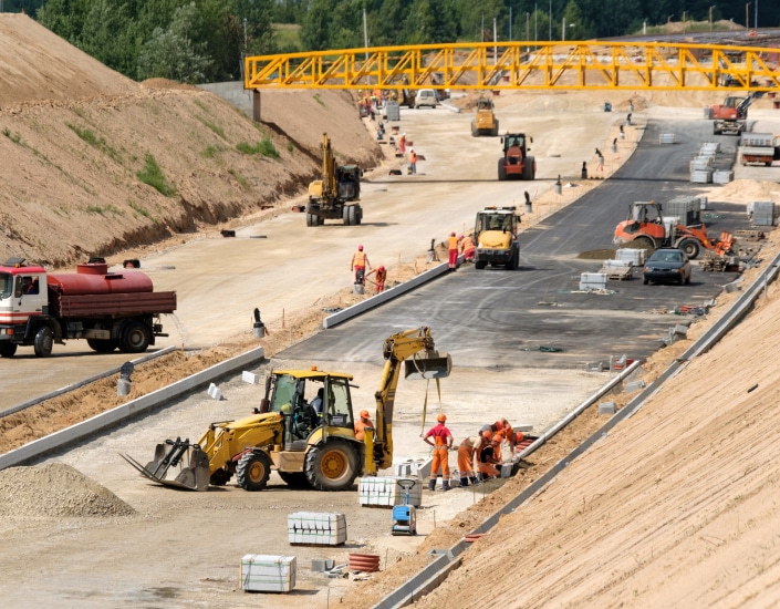
Construction
Aggregates + Mining
Waste Management
Survey + Engineering
Workflows
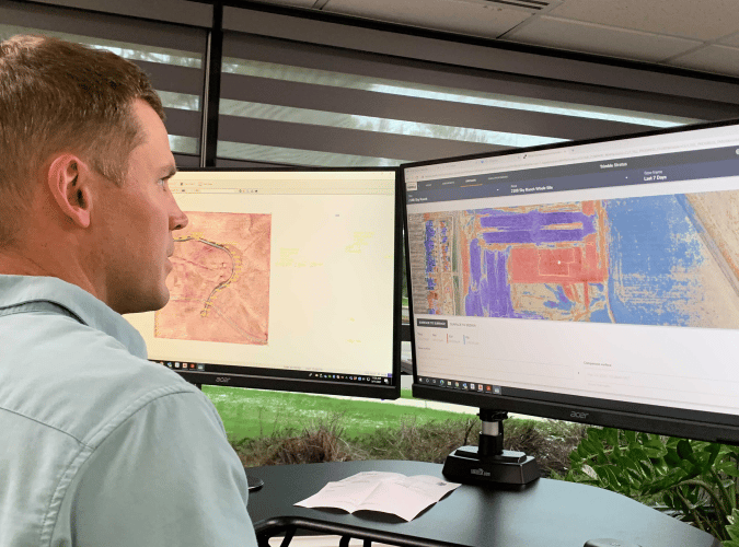
Map
Make data and survey processing simple.
Measure + Manage
Access insights and manage your site like never before.
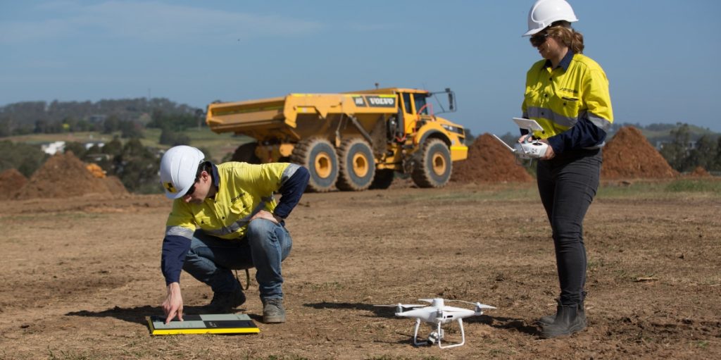
PPK Drone Mapping
Capture, process, and correct survey-grade drone data.
People
Culture + Values
Founders + Board
Open roles
Solutions
PLATFORM
Propeller
A cloud-based workspace where you can map, measure, and manage your site.
Hardware
AeroPoints
DirtMate
Drones + Sensors
Data Services
Photogrammetry Processing
Lidar Processing
Resources
Connect
Training + Support
Learn
Customer Stories
Resource Center
Knowledge Base
English
Deutsch
Login
Contact us
Contact us
Login
Why Propeller?
Industries
Construction
Aggregates + Mining
Waste Management
Survey + Engineering
Workflows
Map
Make data and survey processing simple.
Measure + Manage
Access insights and manage your site like never before.
People
Culture + Values
Founders + Board
Open roles
Solutions
PLATFORM
Propeller
Hardware
AeroPoints
DirtMate
Drones + Sensors
Data Services
Photogrammetry Processing
Lidar Survey Processing
Resources
Connect
Training + Support
Learn
Customer Stories
Resource Center
English
Deutsch
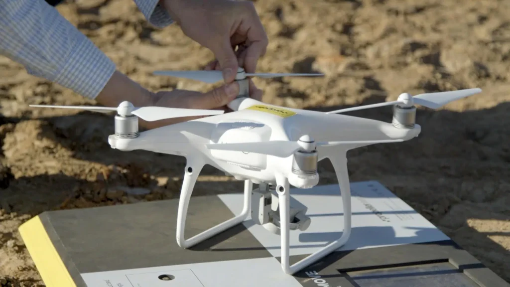
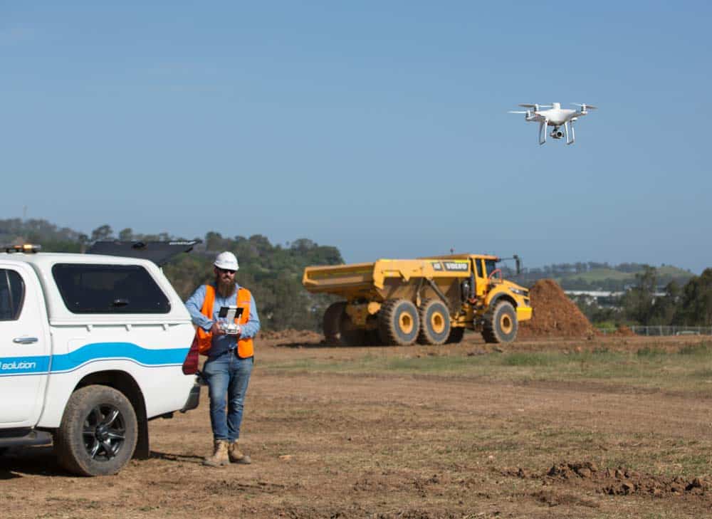
What is Drone Surveying?
Why Construction Project Delays Happen and How to Avoid Them
Stop Playing Telephone with Your Construction Data: Achieve a Single Source of Truth with Technology
Top 10 Drone Surveying Tips and Tricks
Happy 3rd Birthday, Propeller PPK!
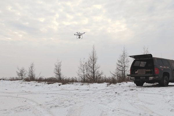
The Pocket Guide to Drone Flying in Winter
4 Ways to Eliminate Information Overload with Construction Data
AeroPoints and PPK: Propeller’s Power Couple
What is a Digital Twin, and How Can it Improve Your Worksite Operations?
Beyond GPS: The Digital Transformation of Earthworks Surveying Techniques
Previous
1
2
3
4
5
6
7
Next
Menu