Drone surveying has risen in popularity on earthworks sites over the past several years. With its ease of use, reliable accuracy, and positive effect on worker safety, many contractors are making the shift from traditional base and rover to drone surveying.
Whether you’re actively interested in creating a drone surveying program for your worksite or just want to learn more about some of the many uses for drones, you’ve come to the right place.
What is drone surveying?
Drone surveying is the next generation of site surveying. With the help of a commercial drone, contractors can capture survey-grade aerial images and site data. The drone survey data is then processed and visualized into an interactive 3D map for progress tracking, volume measurements, improved team collaboration, and more.
By combining aerial images with onboard GPS, drone surveys create a digital “print” of a living worksite, which can be measured and updated over time as the site changes.
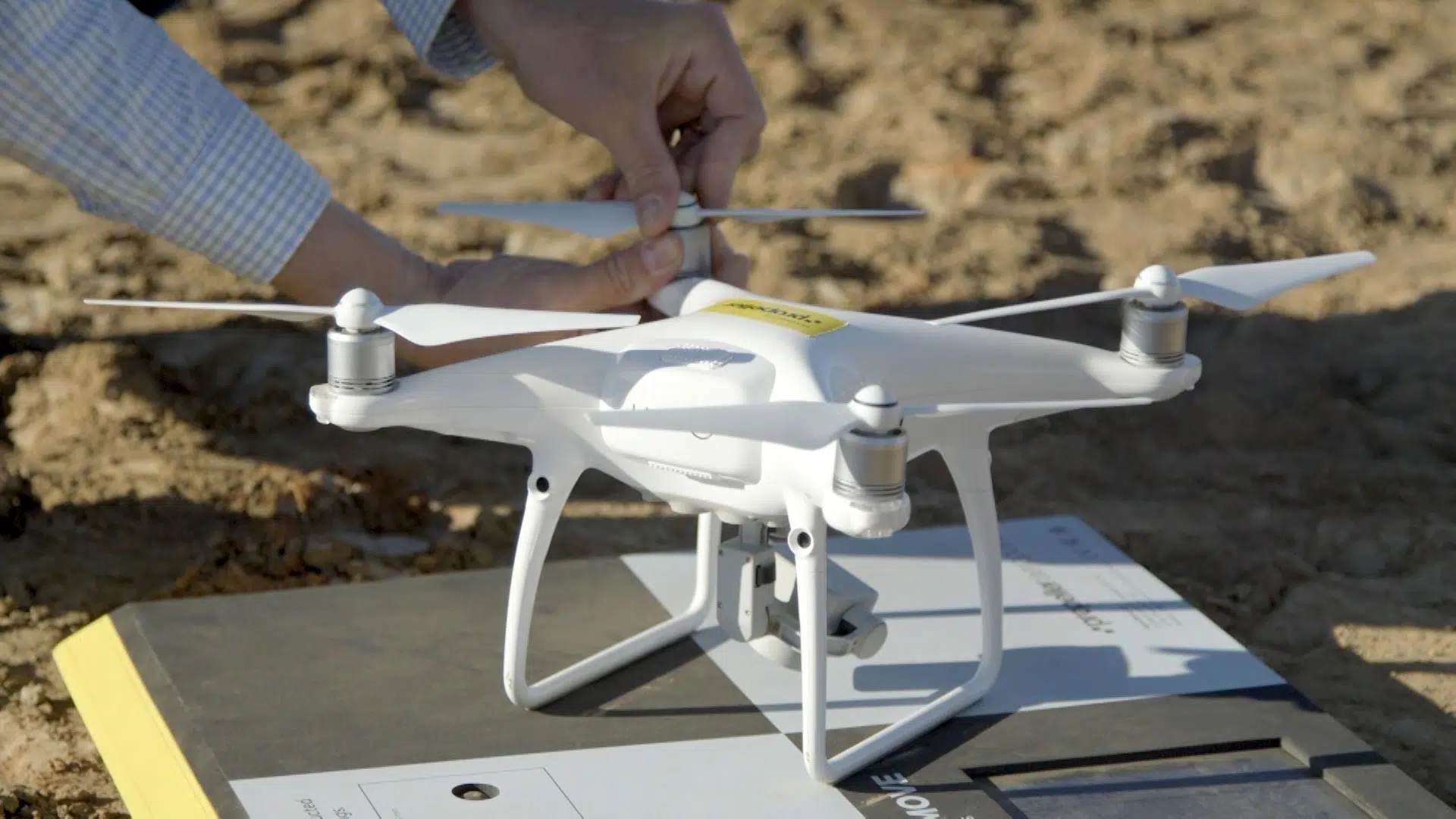
How do drone surveys work?
Drones use onboard cameras to take photos of the ground from different angles. Each image is tagged with geo-coordinates using an onboard GNSS system. These coordinates are “fact-checked” against known points on the ground via RTK (real-time kinematic) or PPK (post-processing kinematic) workflows to improve accuracy.
From this raw dataset, drone photogrammetry software like the Propeller Platform can create geo-referenced orthomosaics or 3D models of an earthworks site. Surveyors can use these maps to calculate highly accurate stockpile volumes, cut/fill measurements, elevations, slope angles, distances, and more.
Because drones can fly at a much lower altitude than manned aircraft and can traverse worksites much more quickly and efficiently than people can, they save both time and money over traditional methods like a base and rover.
Plus, with Propeller PPK and AeroPoints, surveyors don’t need to worry about placing (and replacing) traditional ground control points. Simply place a smart ground control point on the ground near your launch site and you’re ready to go!
Key benefits of drone surveying
Drones can conduct topographic surveys with the same accuracy as traditional methods—but in a fraction of the time and cost. Here are just a few of the benefits of using drone surveying workflows on earthworks projects:
- Reduce field time and project costs: Drones surveys are up to five times faster than land-based methods and require less manpower to operate. Drone surveying saves time across the board, from navigating a site to delivering survey results.
- Provide accurate data: A single drone flight produces thousands of measurements, all of which can be represented in different formats (like orthomosaics or point clouds). Each pixel of the final map contains highly accurate three-dimensional geodata that can help track progress and capture measurements at every project stage.
- Map hard-to-reach places: Drones can take off and fly almost anywhere (especially if you’re using a VTOL drone). Without being limited by inaccessible landscapes, unstable slopes, or harsh terrain, you can capture data during a project without stopping work or introducing unnecessary costs.
- Track progress over time: One of the best uses of drone surveying is to capture snapshots of a worksite at various stages of a project. Because surveys are so quick and easy to complete, contractors can fly as often as they need. In fact, many Propeller customers fly on a weekly basis to capture regular intervals of progress on their worksites. With this data, contractors can easily compare worksite surveys to track progress, assess actual measurements against design, and proactively address any issues to ensure projects stay on time and on budget.
The many uses of drone surveying
Drone surveying is a multifaceted tool on the worksite. From the data collected during flight, contractors can not only map and measure their site, but also improve collaboration across stakeholders, deliver meaningful reports, and make better, faster decisions as a company. Here are a few specific ways that contractors can leverage drone surveying:
- Takeoff reporting: Successful project bids and project kickoffs require accurate information about exactly how much work is required to match a design surface. The goal is to obtain as accurate a measurement of cut/fill as possible—and if you can’t balance a site, you need to understand exactly how much dirt you’ll need to import or export to make the project work. Drone surveys are an efficient and cost-effective way to complete accurate takeoff reporting for every project.
- Precision measurements: From stockpile volumes to cut/fill, drone surveys processed through Propeller are accurate to 1/10 foot in measuring distances, volumes, and slopes. And these highly accurate measurements are all presented in photorealistic 3D maps that make it easy for all stakeholders to visualize progress and track updates.
- Worksite safety: Although it may not seem like drones would directly impact safety, completing surveys by drone does a lot to keep workers safe. Every drone in the air means at least one fewer pair of boots on the ground—and because drones can fly over obstacles, workers can steer clear of heavy equipment and dangerous terrain while drones navigate busy worksites and unstable ground.
- Dispute resolution: One shared view of a worksite’s design plans and current state means that all stakeholders can reference a single source of truth. Easy-to-access visualized data means that even non-surveyors can easily see the work that’s been done. With all the information in one place, disputes are far less common.
Drones also can help with haul road maintenance, landfill airspace management, mining reclamation, and more!
Will Drones Replace Surveyors?
Yes and no, a better answer to this question would be that Drones are not getting rid of surveyors but they are radically changing the way that surveying is done. Drones are replacing a lot of traditional surveying methods due to their increased efficiency, cost effectiveness, and ease of use. Similar to other technologies that have disrupted industries, drone surveying will not eliminate surveyors but will severely change the methods of surveying, skill sets, and the tools that surveyors will need to be trained with in order to stay competitive. In other words drones will not replace surveyors but they will change the way that surveyors work and what can realistically be expected from most companies surveying programs.
Drone Surveying Software
Drone surveying alone does provide a lot of practical use cases. But depending on what you need to accomplish the software that you use can make or break your drone surveying experience. There are a ton of different use cases for drone surveying so the multitudes of different drone surveying softwares can be overwhelming to start with. A software like Propeller not only comes with a fully featured set of tools that help to provide the most accurate and efficient drone surveying process possible.
But it also comes with a support team of customer success engineers whose sole purpose is to make sure that Propeller customers have all the resources they need to implement and execute a drone surveying program successfully.
The software and more importantly the team connected to that software can have a huge impact on the outcome of drone surveying programs. Here at Propeller we focus on making sure that our clients are given industry leading levels of support to ensure that they can execute their drone surveying program as successfully as possible.
Considering adopting a drone program for your business?
Check out our comprehensive guide, “Evaluating, Selecting, and Adopting (or Updating) a Drone Program” for key considerations, templates, and more.