Peanut butter and jelly. Batman and Robin. Macaroni and cheese. What do these famous pairings have in common? They’re all good when they’re apart, but great when they’re together—a trait they share with Propeller’s own power couple, AeroPoints and Propeller PPK.
Last month’s issue of the Engineering and Mining Journal called Propeller PPK the “gold-standard drone-based PPK solution,” and that’s due in no small part to the performance of AeroPoints.
In this post, we’ll dig into what makes AeroPoints and PPK such a dynamic duo, and how you can combine these technologies to create your very own gold-standard surveying solution.

What are AeroPoints?
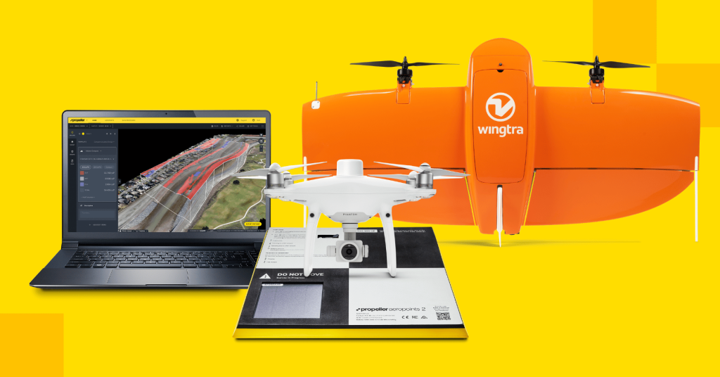
AeroPoints are GPS-enabled smart ground control points. They deliver the same level of precision you’re used to with traditional ground control, but in far less time and for far less money.
They’re also much more versatile. You can use AeroPoints in place of ground control, as checkpoints, or even as base stations. You can pair them with any RTK-enabled drone to implement Propeller’s PPK solution. And when your flight is complete, simply bring the AeroPoint within range of a WiFi network to upload your GPS data to our cloud-based platform.
AeroPoints differ from traditional ground control in several key ways: ease of use, flexibility, time savings, and connectivity, to name just a few.
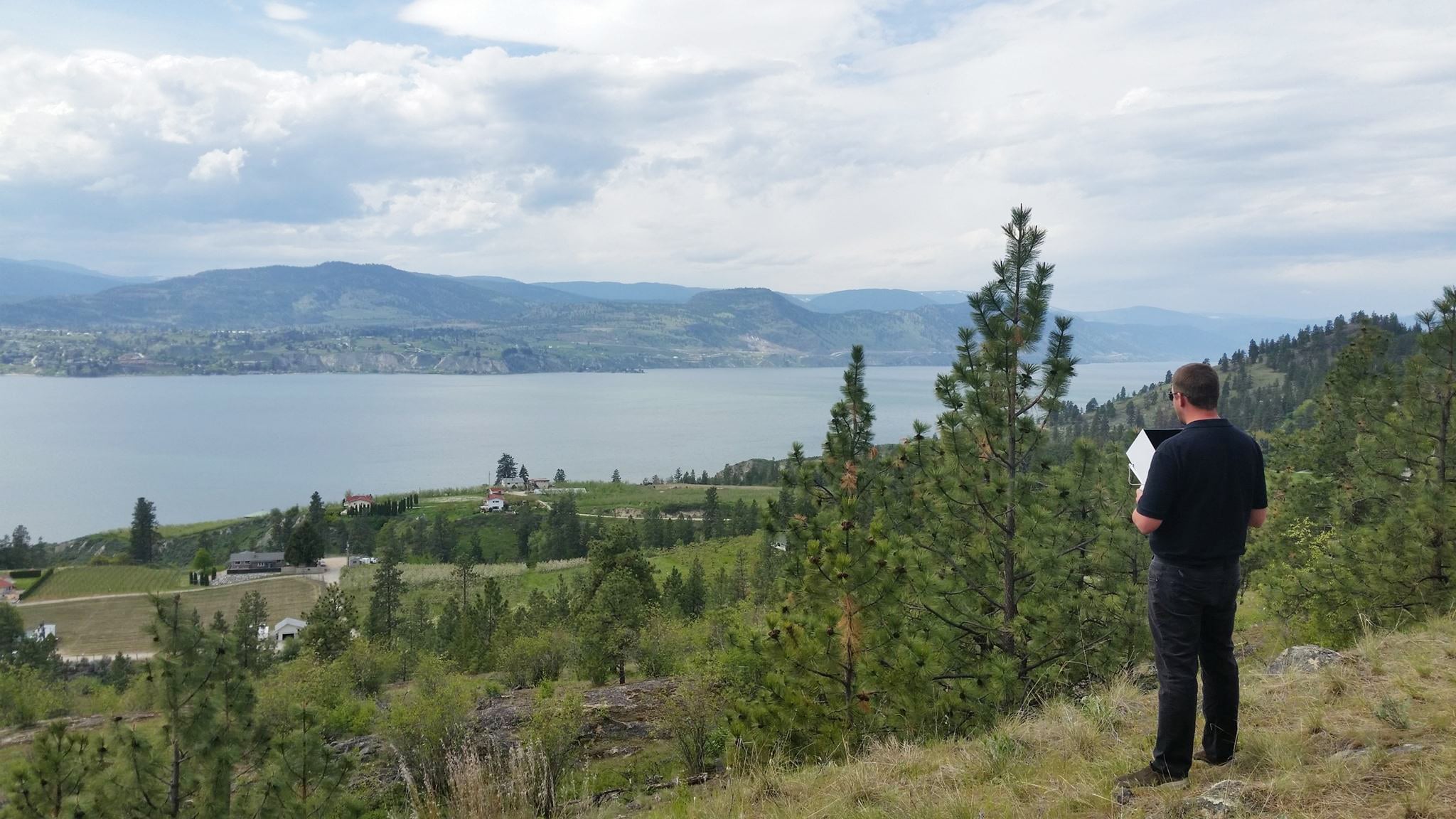
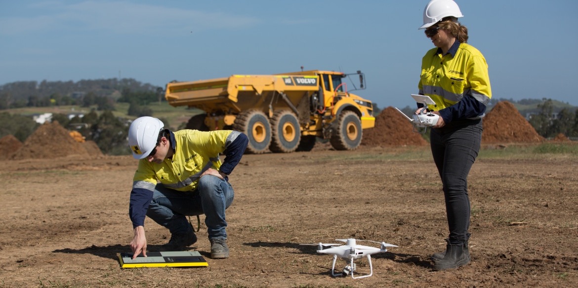
Instead of manually marking ground control points (GCPs) with a base and rover, you can simply place an AeroPoint on the ground anywhere within range of your drone flight. Power on the AeroPoint, fly your drone for at least ten minutes, and that’s it—you’ve completed your aerial drone survey! After uploading your data, you’ll get the level of accuracy you need, in far less time.
Most worksites only require one AeroPoint and a ten-minute drone flight to replace ground control and traditional surveying. Compare this to the process of manually shooting (and re-shooting) GCPs as the site changes, and then you’ll know exactly why our customers love AeroPoints.
For more on how AeroPoints work, and how they contribute to PPK’s gold-standard level of accuracy, check out this post.
PPK: A quick overview
In short, PPK (post-processing kinematic) is a workflow, not hardware. The process leverages RTK-enabled drones to collect aerial photos and GPS data, plus a base to help pin those images to the ground. Post-flight, the drone’s positional data is refined using data from a base station or other known point on the ground.
PPK has several benefits over RTK drone surveying:
- No need to maintain an active connection between the drone and a base station during flight
- An AeroPoint can be used in conjunction with the Propeller Corrections Network or user-provided RINEX observations, in place of a GNSS base station or an NTRIP correction source provided over mobile data
- Fewer points of failure
- High levels of accuracy and reliability

Want to dig into the details?
We’ve got you covered. Check out our PPK digital guide to cut through the confusion and get straight to what you need to know about PPK.
How they work together
With Propeller PPK, you can complete a drone survey in just a few simple, efficient steps:
- Place your AeroPoint on the ground nearby and turn it on
- Initiate your pre-programmed drone flight, and fly your site for at least 10 minutes
- Pack up all your hardware, and connect to a WiFi network to upload device data
And that’s it—you’re done! Our team handles the data processing for you, so you’ll get a complete and accurate data set back within 24 hours of your flight—no manual processing needed. After that, you’ll have a 3D map of your worksite, stockpile volume measurements, and everything else you need to make informed decisions about your earthworks project.
AeroPoints and PPK can provide a bundle of benefits for you, including:
- Ease of use: Capture accurate survey data with just a single AeroPoint (and a drone)
- Survey-grade accuracy: Propeller PPK yields results accurate to 1/10 foot in less time—as precise as traditional survey methods, with less hassle
- Safety: Surveyors don’t need to venture out on busy worksites or hazardous terrain—AeroPoints and PPK keep them on safe ground.
- Efficiency: Optimize labor, save time, and reduce spend with a quick and easy survey process