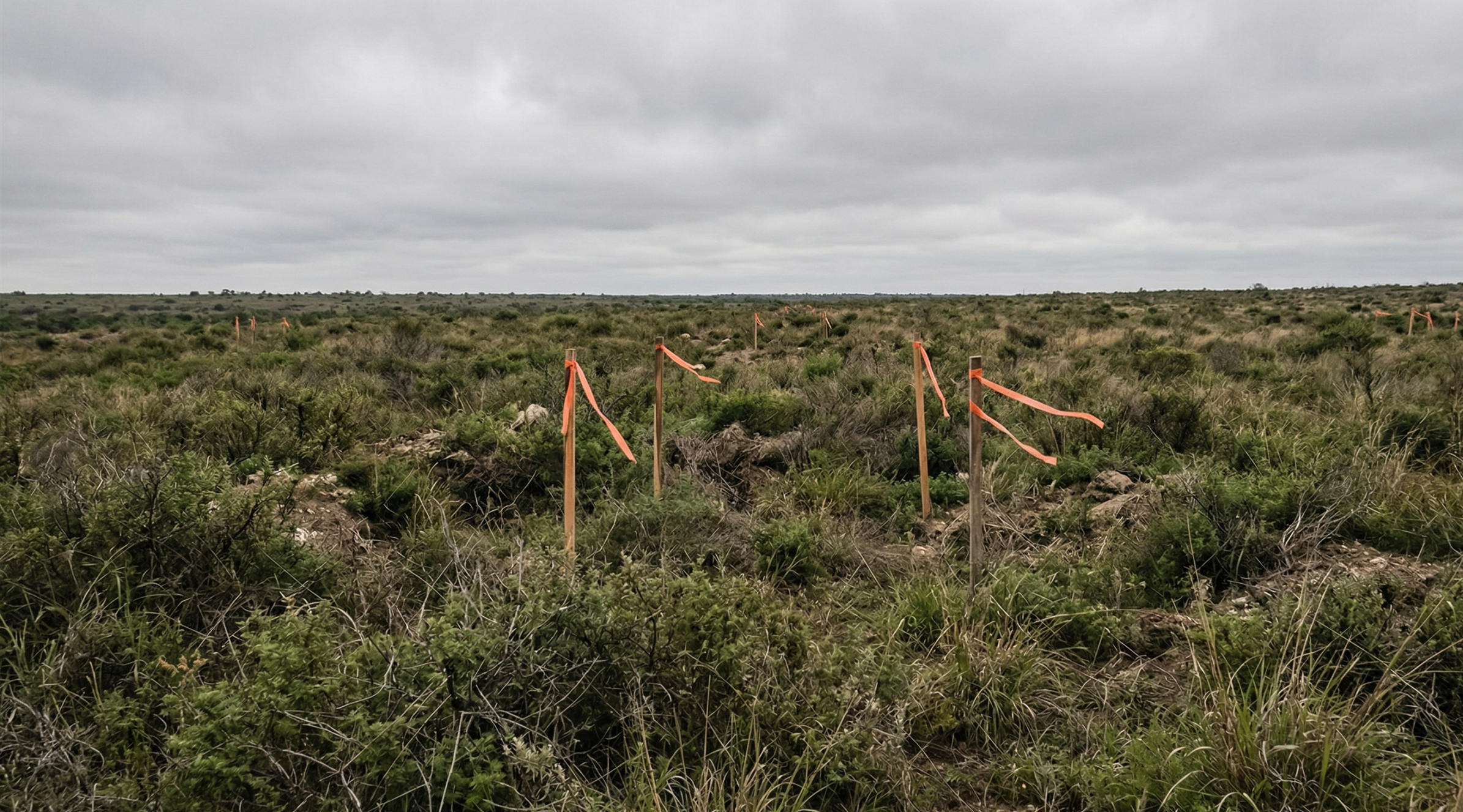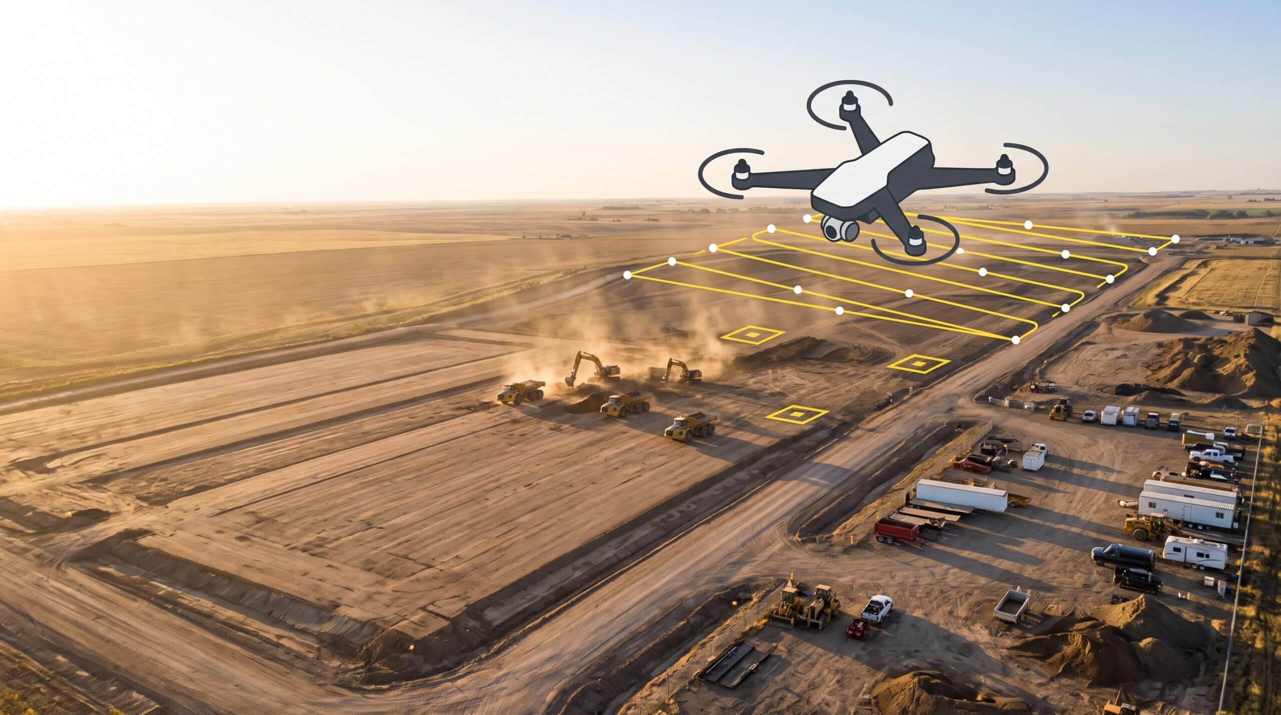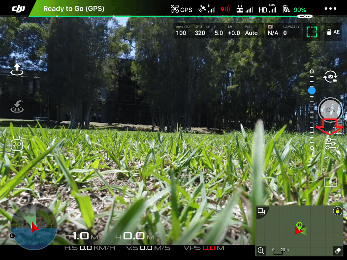
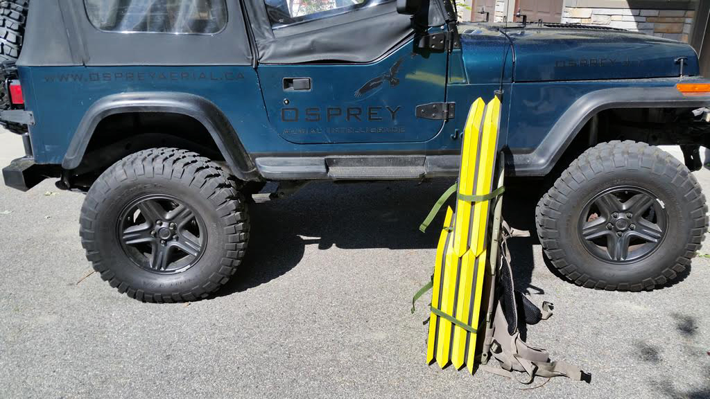
Osprey Aerial Intelligence replaced a traditional RTK base and rover setup with AeroPoints to deliver high-precision topographic surveys across hard-to-reach land development sites in British Columbia. The switch improved elevation accuracy, cut ground control costs, and simplified deployment. AeroPoints automatically upload position data to Propeller after each flight, giving clients a 3D site view they can measure, share, and act on from the same platform.
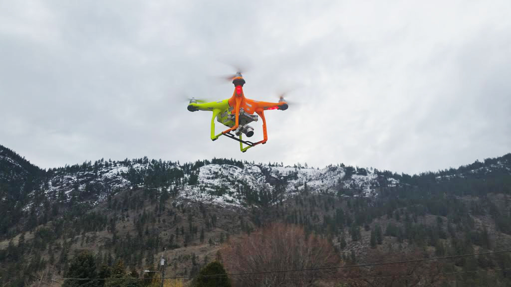

Cut and fill monitoring: How to ensure your earthwork volumes are on track
Earthwork is one of the most cost-sensitive phases of any civil construction or grading project.…