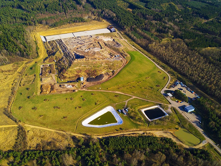
While all landfills share a common purpose—a place to safely dispose of solid waste—some are more efficient than others. The most efficient landfills, and therefore the most profitable ones, know how to fill their airspace effectively. Landfill airspace is valuable and maximizing it is the prime responsibility for site managers, helping them reduce operating costs and improve their overall bottom line.
Turning a profit out of ‘thin air’
Typically, landfill operators are compensated for how much waste they can fit into their airspace, or a site’s volume of space that’s permitted by the local municipality to hold solid waste. The strategic plan for landfill management often includes maximizing this airspace to extend the life of the landfill as long as possible while maintaining worker safety and efficient operations. It’s a fine balance that’s always been a challenge for site managers to determine.
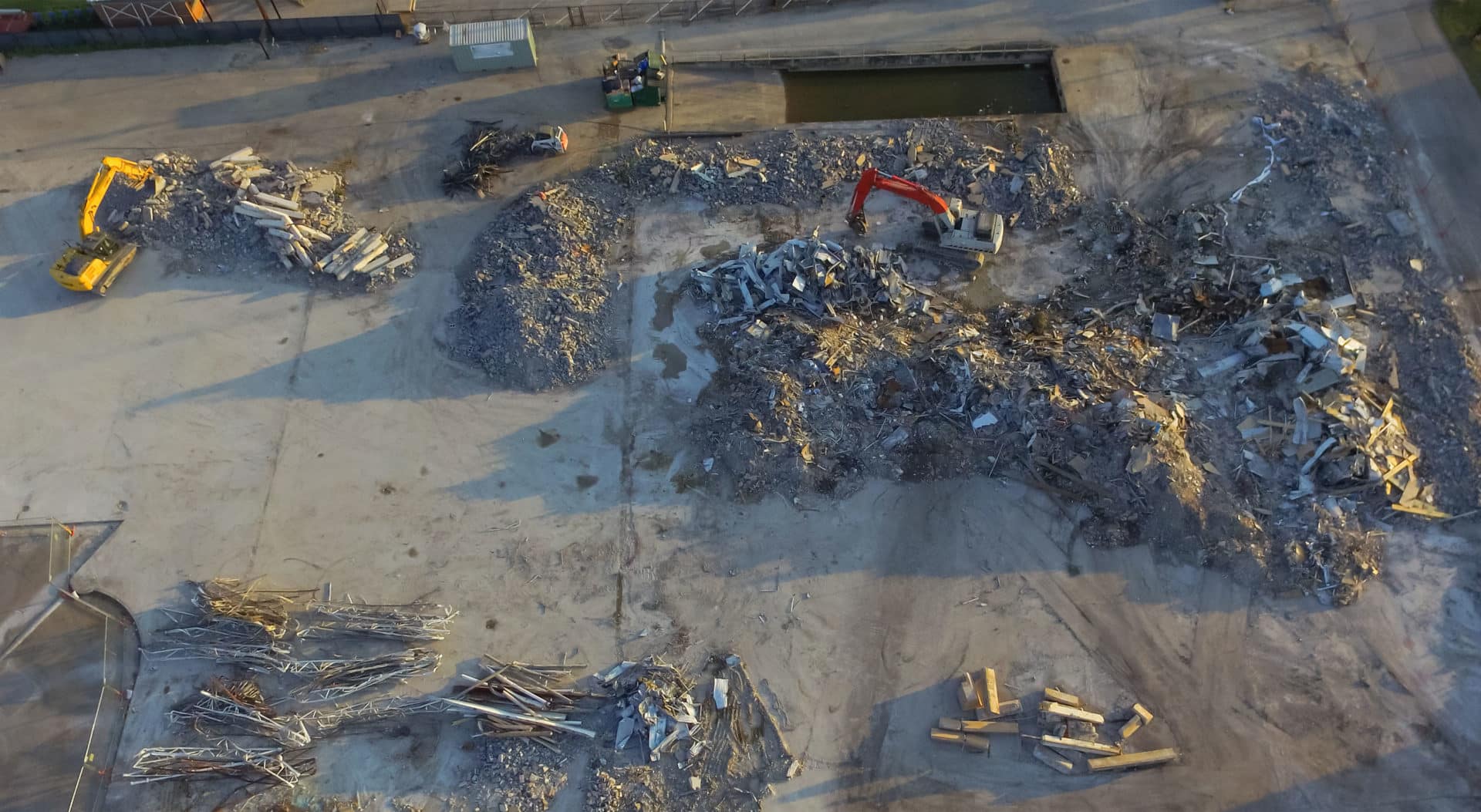
Landfills are paid per ton of waste disposed, and only a set amount of airspace exists that can be filled to ensure waste stays below the Top-of-Waste (TOW) design. To maximize the amount of waste deposited in a landfill, operators practice compaction using specialized earthmoving equipment designed for waste operations. The compaction rate indicates the performance of a landfill.
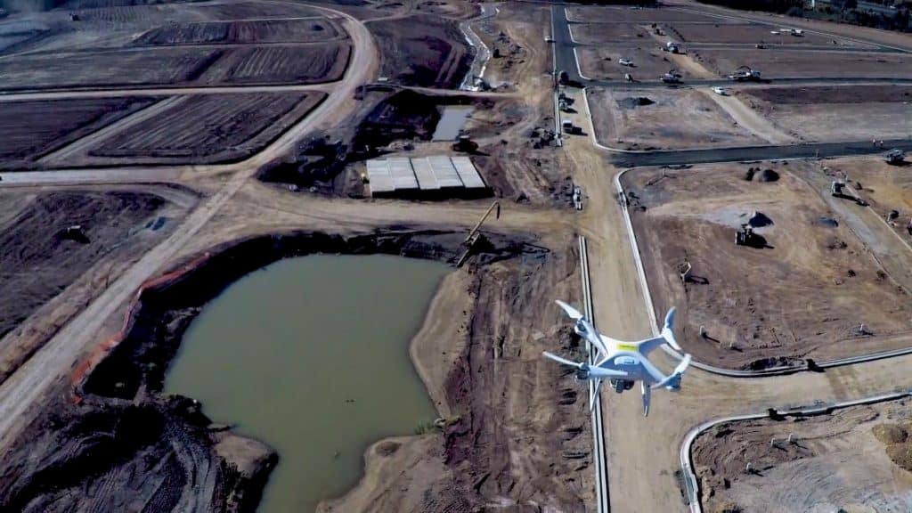
Volumetric surveys of landfill sites give site managers, as well as municipal authorities, up-to-date information about how the landfill capacity is being filled. Traditionally, teams on the ground manually completed these surveys or they were done from the air using helicopters. Either method is time-consuming, expensive and potentially dangerous, making frequent landfill surveys impractical. However, drone survey programs have changed all that, allowing for more frequent monitoring of landfills and providing incredibly accurate airspace volume calculations against TOW design so operators can maximize revenue.
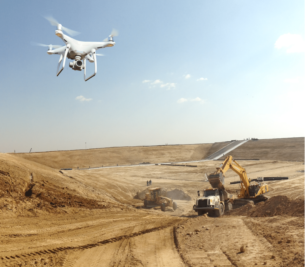
Tracking landfill performance with drone data
Drone surveys provide site managers with the ability to measure any areas of overfill in the landfill and the remaining airspace available. Surveying with this technology is a faster, more affordable, and safer way to monitor landfills, giving site managers access to more data, more often to aid in short-term and long-term planning for maximum airspace use. In many cases, it’s now practical for landfill teams to survey with a drone on a weekly basis.
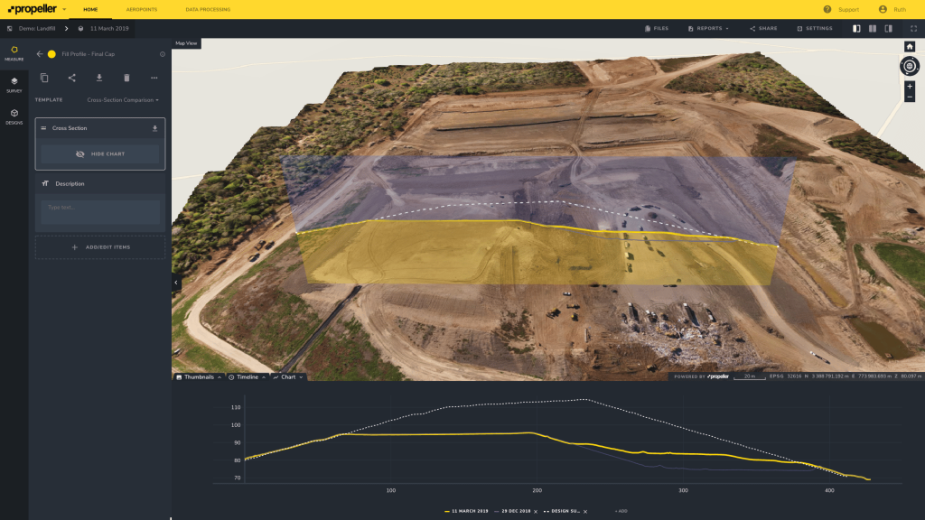
Traditional surveying methods involved physically walking the landfill to create an elevation model that’s then compared to TOW design. Now, 3D survey maps rendered by drone data processing platforms like Propeller allow teams to measure volumes against a visual model. Landfill management teams now have fast access to cross-sections of individual cells or the site as a whole, aiding site managers in decision-making and helping them spot mistakes before they become expensive, time-consuming problems.
The Propeller Platform offers access to up-to-the-minute compaction rates and remaining airspace volumes after every flight. Site managers can simply create or import cell boundaries and compare the present volume to previous surveys. Using an on-screen density calculator, combined with weighbridge data, landfill operators get an immediate picture of airspace utilization for specific cells or the entire landfill.
Bringing it all together, using drone survey technology to measure landfills provides highly accurate data site managers can use to operate their sites efficiently and safely over a long lifespan and maximize their revenue.