Why Propeller?
Industries
Construction
Aggregates + Mining
Waste Management
Survey + Engineering
Workflows
Map
Make data and survey processing simple.
Measure + Manage
Access insights and manage your site like never before.
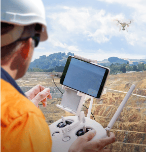
PPK Drone Mapping
Capture, process, and correct survey-grade drone data.
People
Culture + Values
Founders + Board
Open roles
Solutions
PLATFORM
Propeller
A cloud-based workspace where you can map, measure, and manage your site.
Hardware
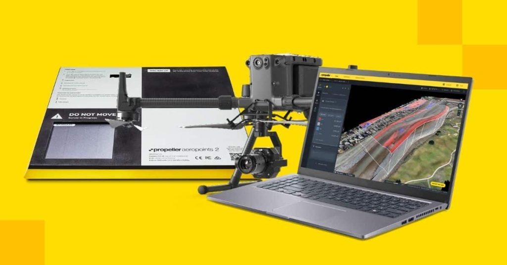
AeroPoints
DirtMate
Drones + Sensors
Data Services
Photogrammetry Processing
Lidar Processing
Resources
Connect
Training + Support
Learn
Customer Stories
Resource Center
Knowledge Base
English
Deutsch
Login
Contact us
Contact us
Login
Why Propeller?
Industries
Construction
Aggregates + Mining
Waste Management
Survey + Engineering
Workflows
Map
Make data and survey processing simple.
Measure + Manage
Access insights and manage your site like never before.
People
Culture + Values
Founders + Board
Open roles
Solutions
PLATFORM
Propeller
Hardware
AeroPoints
DirtMate
Drones + Sensors
Data Services
Photogrammetry Processing
Lidar Survey Processing
Resources
Connect
Training + Support
Learn
Customer Stories
Resource Center
English
Deutsch
3 Reasons Why Now Is the Time to Invest in a Drone Surveying Program
ABC’s of Drone Surveying: Defining Key Terms and Concepts
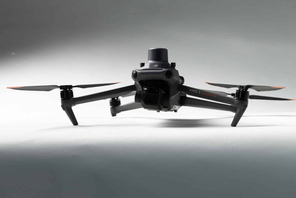
Delivering a New Level of Efficiency for Drone Surveying: Say Hello to DJI’s New Mavic 3 Enterprise
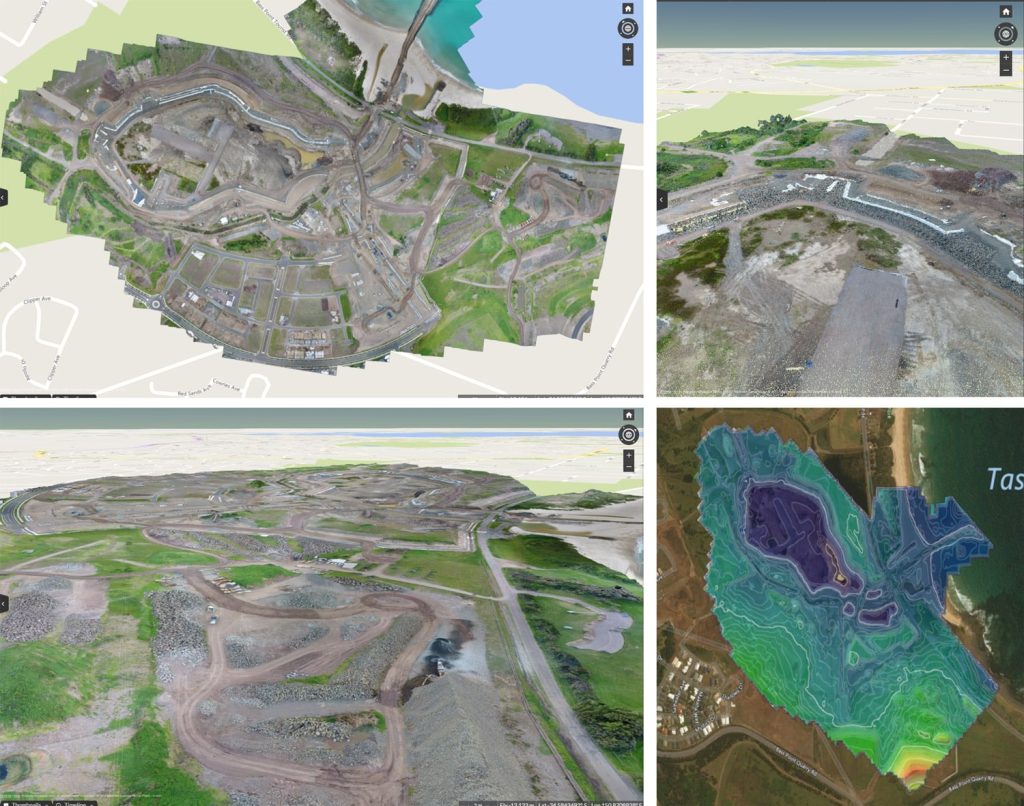
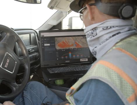
From Drone to Dashboard: How Propeller Processes Survey Data
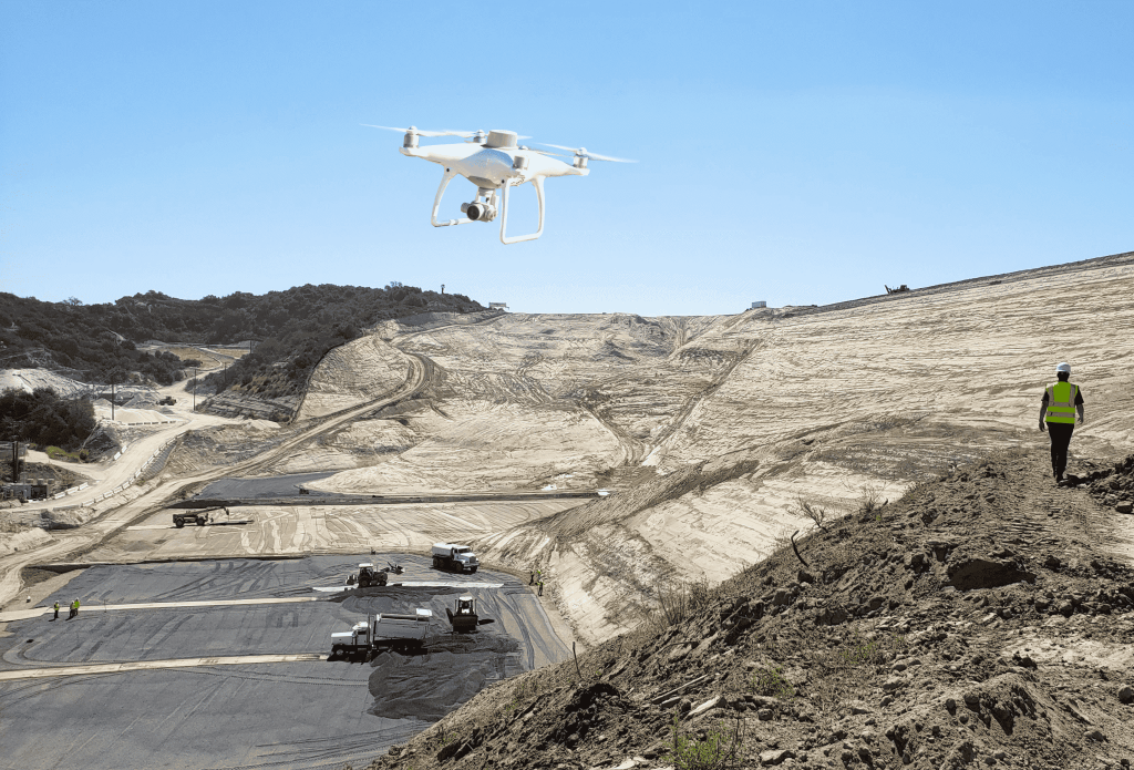
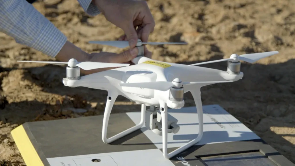
How DJI’s Phantom 4 RTK Delivers Reliable and Accurate Site Surveys
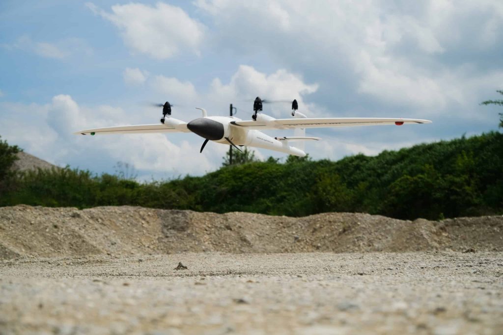
Announcing Propeller’s Partnership with Quantum-Systems’ Trinity F90+ Drone!
What is Photogrammetry and How Is It Used for Worksite Surveying?
A Powerful Propeller Partner: DJI’s Matrice 300 RTK Drone
Drone Surveying: Not as Difficult to Learn or Do as You May Think
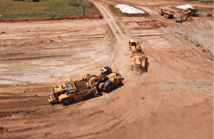
What is Drone Surveying?
Previous
1
2
3
4
5
…
7
Next
Menu