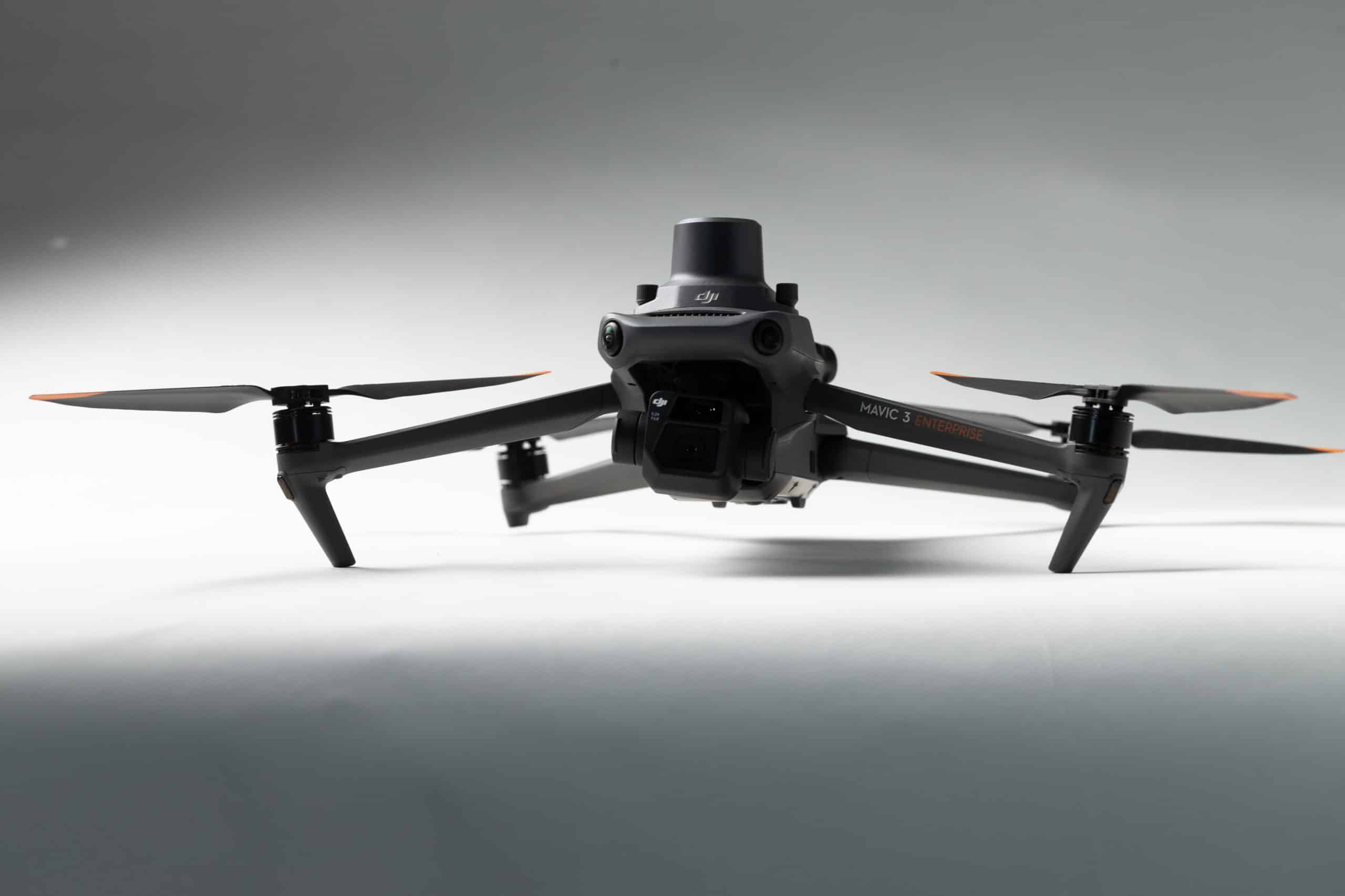
DJI, a global leader in drone and aerial imaging technology, has announced the release of their newest commercial-grade drone, the Mavic 3 Enterprise (M3E). Propeller has enjoyed a longstanding partnership with DJI, particularly with the Phantom 4 RTK (P4RTK), our original companion drone compatible with the Propeller PPK workflow and the software solution.
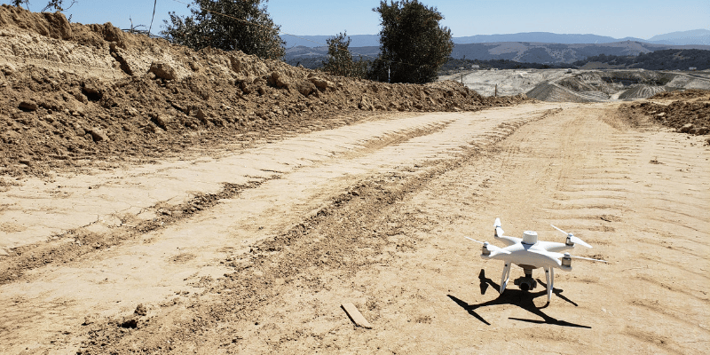
The M3E is anticipated to have as great an impact as the P4RTK for the M3E’s ability to collect highly accurate survey-grade data that can be used to measure earthmoving progress on a worksite. We’re excited to share that the M3E is also fully compatible with our Propeller PPK (post-processed kinematic) workflow. With this new commercial drone from DJI and Propeller’s PPK workflow, site managers can confidently survey challenging sites with reliability, process their data quickly, and measure with precision.
Watch this video and see what Propeller customer, Justin Russell from Fiore & Sons, had to say about the M3E.
The new M3E boasts some advanced features, including:
- Reliable flight capability: The M3E is very stable in high winds, allowing you to fly your site in varied weather conditions (excluding rain).
- Efficient and quick: The M3E’s mechanical shutter operates at a 0.7 second shot interval, much faster than the P4RTK (2.5 second interval), meaning it can take almost four times as many photos in the same time period, allowing you to map your worksite faster and further.
- Better image resolution in low light: The camera sensor for the M3E has larger pixels, so it can take higher quality images in lower light conditions. This means you can fly later or earlier in the day and still capture survey-grade images.
- Longer battery life and faster charging: With a 100 watt fast charging set up, the M3E can charge from 0 to 80% in just 40 minutes, and its longer battery life makes it easier to fly and survey large sites.
- Improved collision avoidance: The M3E has an “omni direction positioning system” with six crash sensors over the P4RTK’s three, making the possibility of an in-air accident less likely. You can also manually set the distance as needed.
Other notable features
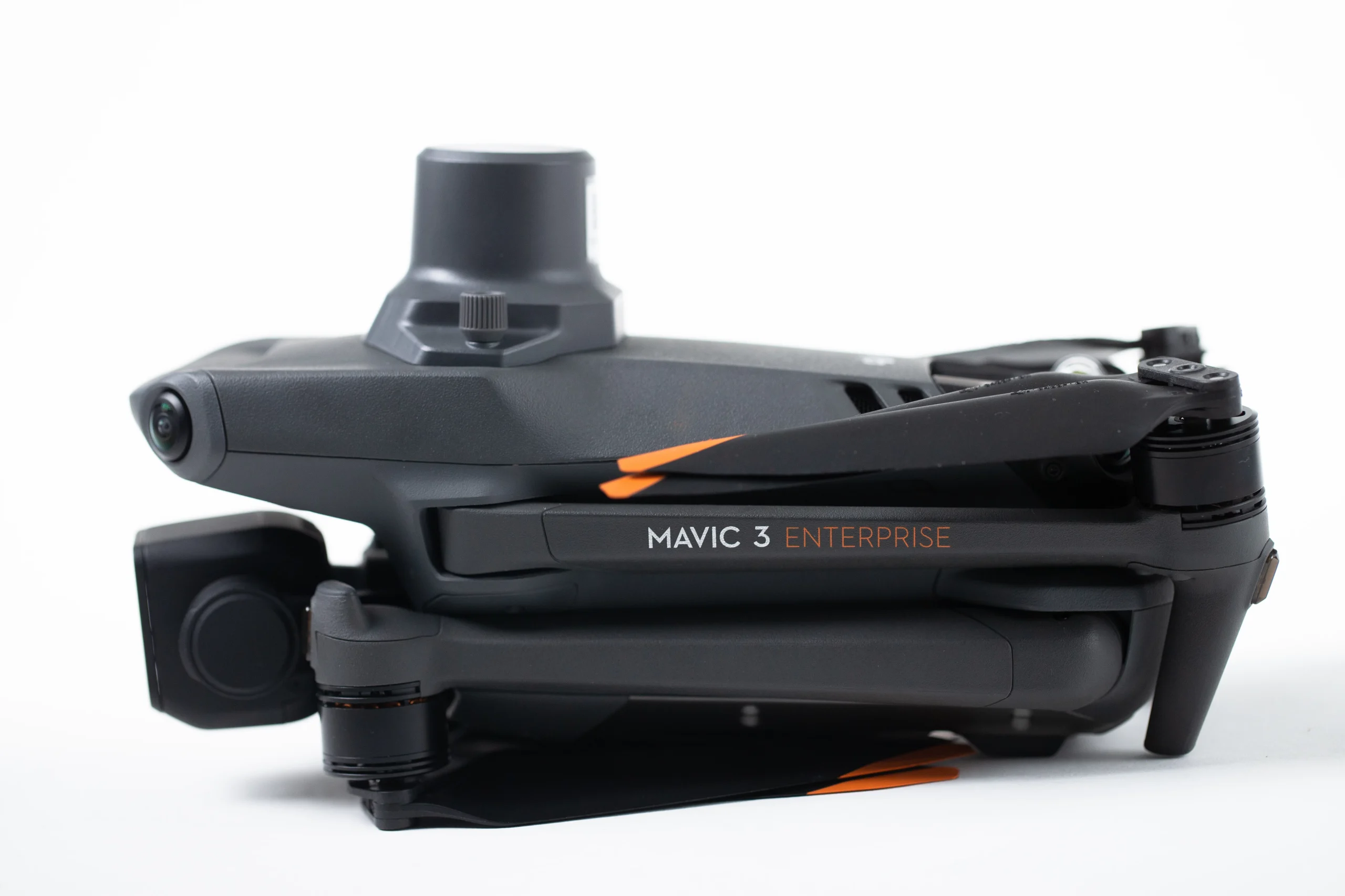
The M3E is dark gray in color, rather than white, which makes it easier to spot in the sky and keep it within your visual line of sight. Additionally, the remote controller, which incorporates the DJI Pilot 2 flight planning app, is larger and has a brighter screen, making it easier to use, especially on sunny days.
How the M3E and Propeller PPK integrate
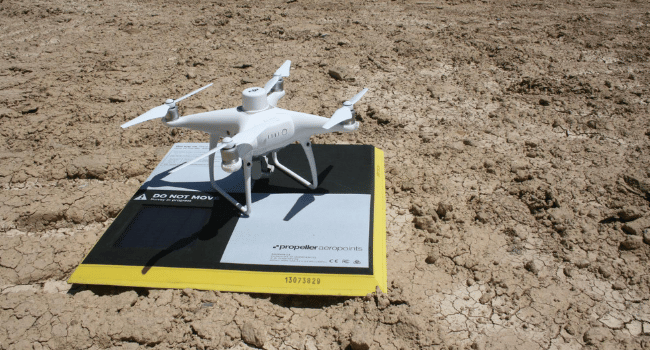
Propeller PPK combines your choice of drone hardware (now including the M3E) with AeroPoints, our “smart,” high-precision ground control points, and the Propeller Platform. Our software is a cloud-based application for processing, mapping, measuring, and sharing aerial survey data.
Together, these three components (drone, AeroPoints, and the Propeller Platform) unite to form a solution that easily fits with how you already work. You’ll get more accurate data (even surveying rough terrain or in windy conditions) in less time and with fewer labor hours, allowing you to build a better earthmoving strategy and collaborate with your team more effectively.
If you are looking to implement a drone surveying operation for your earthworks business—or want to expand an existing one—with a user-friendly, affordable option, look no further than Propeller PPK and DJI’s M3E.