The world of drone surveying has a unique set of vocabulary and a lot of key terms to learn. If you’re new to drones, the terminology may be a little confusing or overwhelming. Not to worry, though; we’ve got you covered. We have compiled a handy list of key terms and concepts along with easy-to-understand definitions to help you on your journey to drone surveying mastery. If you find this list helpful, be sure to bookmark it for quick reference in the future!
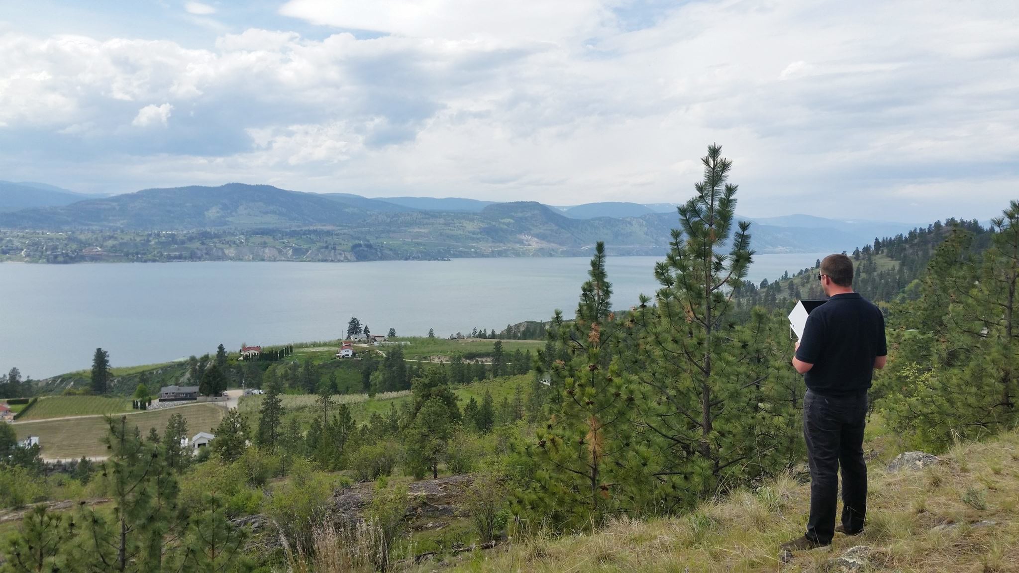
AeroPoints: High precision, smart ground control points that deliver the same accuracy as traditional solutions, but with far less time and money involved. They can be used as ground control, checkpoints, or even base stations for maximum flexibility. They can be used with any drone, anywhere.
Certificate of Authorization (COA): A legal document necessary for a company to provide or offer to provide engineering and/or surveying services. -or- An authorization issued by the FAA’s Air Traffic Organization to a public operator for specific unmanned aircraft activity.
Collision or Obstacle Avoidance: The ability to avoid colliding with objects while flying a drone in real-time. Drones with a collision or obstacle avoidance system have small sensors mounted on the body framework to safeguard them while in flight.
Commercial Drone: Any drone used for work, including drones made for specific jobs and drones made for general consumers and professionals. You can check out some of our drones and sensors for surveying here.
Composite Survey: A large 3D model made up of multiple smaller surveys stitched together. Composite Surveys make it possible to fly a small, active section of a worksite and merge it with other surveys to form a complete and up-to-date view of the entire site.
Coordinate Reference System (CRS): A framework for understanding locational data and processing a particular position on earth. Each coordinate system has a unique interpretation.
DirtMate: An easy-to-use, cost effective machine tracking system that provides teams with easy access to critical productivity insights every day. Paired with drone survey data, DirtMate data helps earthworks professionals gain a clear picture of what’s happening on their worksite.
Geotag: An electronic tag (grouping) of geographic information (coordinates) that is assigned to media such as photographs and videos via the process of geotagging. In the case of senseFly drones, this process is handled automatically via the eMotion flight-planning software).
GeoTIFF: A public domain metadata standard that allows georeferencing information to be embedded within a TIFF image file.
Geofencing: The use of GPS technology to create a virtual geographic boundary for a real-world geographic area.
Geographic Information System (GIS): A system that lets users visualize, question, analyze and interpret data to understand spatial relationships, patterns and trends.
Global Navigation Satellite System (GNSS): A satellite navigation system with global coverage, such as GPS, GLONASS and the European Union’s Galileo system.
GPS (Global Positioning System): A satellite-based radionavigation system owned by the United States government that provides geolocation and time information to a receiver anywhere on or near the Earth.
FAA: An acronym for the “Federal Aviation Administration” that regulates all aspects of civil aviation in the United States and surrounding international waters. Its main responsibilities include air traffic management, certification of pilots and aircraft, and setting standards for airports.
Fixed Wing Drone: A type of unmanned aerial vehicle (UAV) with a rigid wing and predetermined airfoil. A propeller on the UAV creates thrust to provide lift. With their longer flight coverage and speed, fixed-wing drones are ideal for mapping and surveying large areas.
Drone Mapping: Flying a drone to take photos of a specific area that can then, through photogrammetry, be used to create a 3D map of that area.
Drone Regulations: Local government rules that pilots must learn and follow when flying commercial drones.
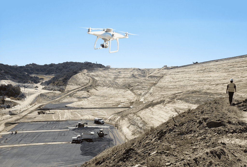
Drone Surveying: Drone surveying is the next generation of site surveying. With the help of a commercial drone, contractors can capture survey-grade aerial images and site data. The drone survey data is then processed and visualized into an interactive 3D map for progress tracking, volume measurements, improved team collaboration, and more. By combining aerial images with onboard GPS, drone surveys create a digital “print” of a living worksite, which can be measured and updated over time as the site changes.
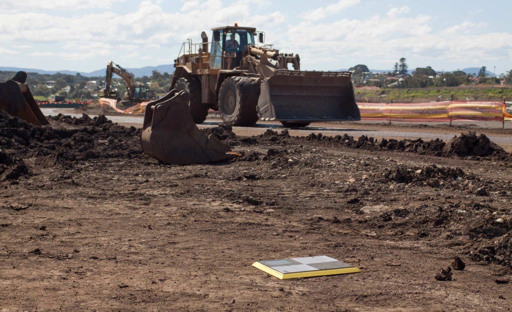
Ground Control Points (GCP): Points on the ground with known coordinates used to help accurately map large areas, including earthworks or construction sites.
Ground Sampling Distance (GSD): The distance between the centers of two adjacent pixels, measured on an observed object. The bigger the value of the image GSD, the lower the spatial resolution of the image and the fewer the visible details. A smaller GSD means that an object will appear larger and smaller details are visible in the image.
LiDAR: An acronym for “light detection and ranging.” LiDAR is a method for determining variable distances by targeting an object with a laser and measuring the time for the reflected light to return to the receiver. LiDAR can also be used to make digital 3-D representations of areas on the earth’s surface or the ocean bottom, due to differences in laser return times, and by varying laser wavelengths.
Quadcopter: A type of unmanned aerial vehicle (UAV) or drone with four rotors. The small size and low inertia of these drones allows for a relatively simple flight control system, making the small quadrotor drone very practical.
Real-Time Kinematic (RTK): A technique used to enhance the precision of position data derived from global navigation satellite systems (GNSS), such as GPS, which can be used in drone site surveying and mapping.
Orthophoto: An aerial photograph geometrically corrected so the scale is uniform and follows a given map projection. Unlike an uncorrected aerial photograph, an orthophoto can be used to measure true distances because it is an accurate representation of the earth’s surface, having been adjusted for topographic relief, lens distortion, and camera tilt.
Payload: The object(s) being carried by a manned or unmanned aircraft. Payload also refers to the carrying capacity of an aircraft, usually measured in terms of weight.
Photogrammetry: The science and technology of obtaining reliable information about physical objects and the environment through the process of recording, measuring and interpreting photographic images or patterns of electromagnetic radiant imagery. In drone surveying, photogrammetry measures real-world objects and terrain features from aerial images.
Pitch: The rotation of an aircraft (up or down) fixed between the side to side axis (wingtip to wingtip). -or- The steepness of a slope or stockpile.
Point Cloud: A collection of individual data points within a 3D plane where each point has a set coordinate on the X, Y, and Z axis. When points are placed together, they create a three dimensional map of an area or digital elevation model for undeveloped land.
Post-Processing Kinematic (PPK): A GNSS (Global Navigation Satellite System) data correction technology widely used in surveying and mapping to obtain high-precision positioning data or near centimeter-level accuracy. PPK is mainly used in drone mapping and can also be used as a backup for Real-Time Kinematic technology in surveying projects.
Roll: Rotation of an aircraft from front to back. In other words, how a drone may “lean” forward or back during flight.
Site map: An aerial view of a construction or earthworks worksite.
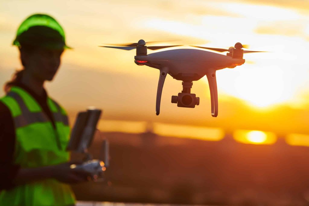
Unmanned Aerial Vehicle (UAV): An aircraft without a human pilot, crew, or passengers on board. Commonly referred to as “drones,” UAVs are a component of an unmanned aircraft system (UAS), which includes a ground-based controller and system of communications with the UAV.
VTOL: An acronym for “vertical take-off and landing.” A VTOL aircraft or unmanned aerial vehicle is one that can hover, take off and land vertically without relying on a runway.
Waypoint: An intermediate point or place on a route or line of travel. A stopping point or point where a course is changed. It most often refers to coordinates that specify one’s geographic position at the end of a “leg” or stage of an aerial flight.
Yaw: Rotation of an aircraft along a vertical axis. In other words, the rotation from left to right during a flight.