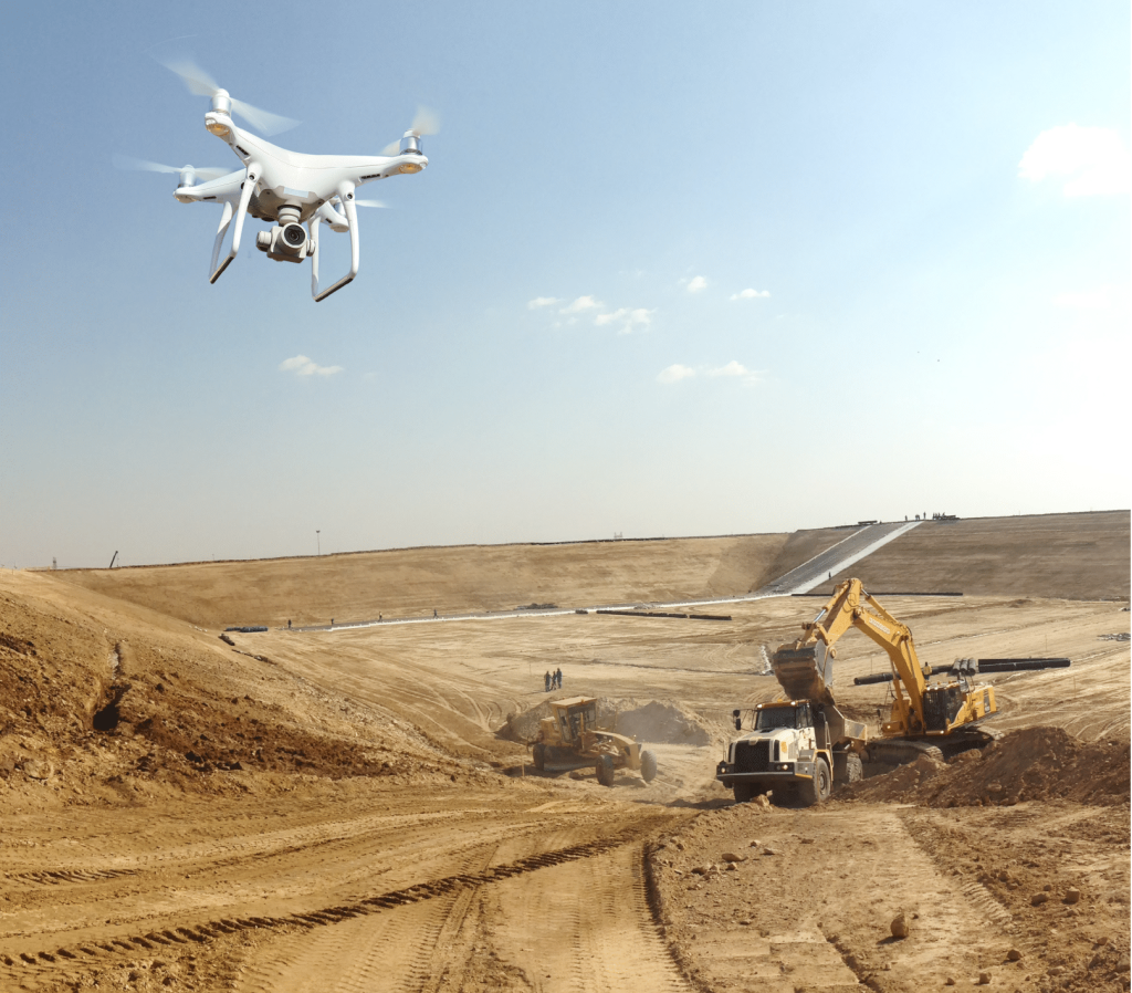
More and more construction sites are taking advantage of drone mapping to improve their speed, quality, and efficiency. According to Allied Market Research, the construction drone market is projected to reach nearly $12 billion by 2027.
That said, drone mapping is still new to many contractors and surveyors. Drone mapping (also called aerial surveying) is the process of taking pictures from the air and using software to digitally “stitch” them together into a 3D map of a worksite.
If you aren’t exactly sure how drone UAV mapping works or how you might use it, don’t worry—we’ll explain how it’s used and how it can help you map and measure your worksites.
What is drone mapping?
Before we dive into the many uses for drone mapping, let’s start with a basic introduction to the process itself: photogrammetry.
Photogrammetry is the science of collecting physical information from two-dimensional photos, often aerial images captured by drones. By combining overlapping, geotagged images of the same features from different angles, photogrammetry software generates photorealistic 3D representations of topographic surfaces.
Drone photogrammetry is the process of capturing aerial site photos to create a 3D map complete with GPS coordinates and accurate measurements.
How is drone mapping used?
Drone mapping creates a sort of digital twin (a computerized reflection of your worksite) every time you fly. This makes it possible to replace time-consuming base and rover surveys with a simple, efficient drone survey flight.
Software like the Propeller Platform converts your drone images and flight data into an interactive 3D map with a wide variety of uses.
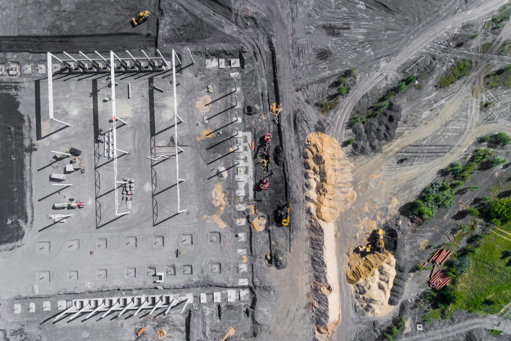
- Measure stockpile volumes: For mining and aggregates professionals, stockpile inventory management is one of the leading use cases for drone surveying. Using drones, surveyors can tell exactly how much material is available, what’s been moved since the last survey, and what still needs to be extracted.
- Cut/fill measurements: All earthworks contractors want to know exactly how much dirt they’re moving, especially if they can balance the material on a site. Drone mapping makes it possible to easily calculate cut and fill.
- Progress tracking: Drone mapping allows you to visualize a project at every stage, from project takeoff to present day. You can track progress over time to see what work was done and when, so you’re never speculating how much work remains (and neither are your stakeholders).
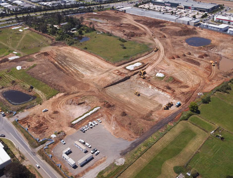
Drone mapping applications across industries
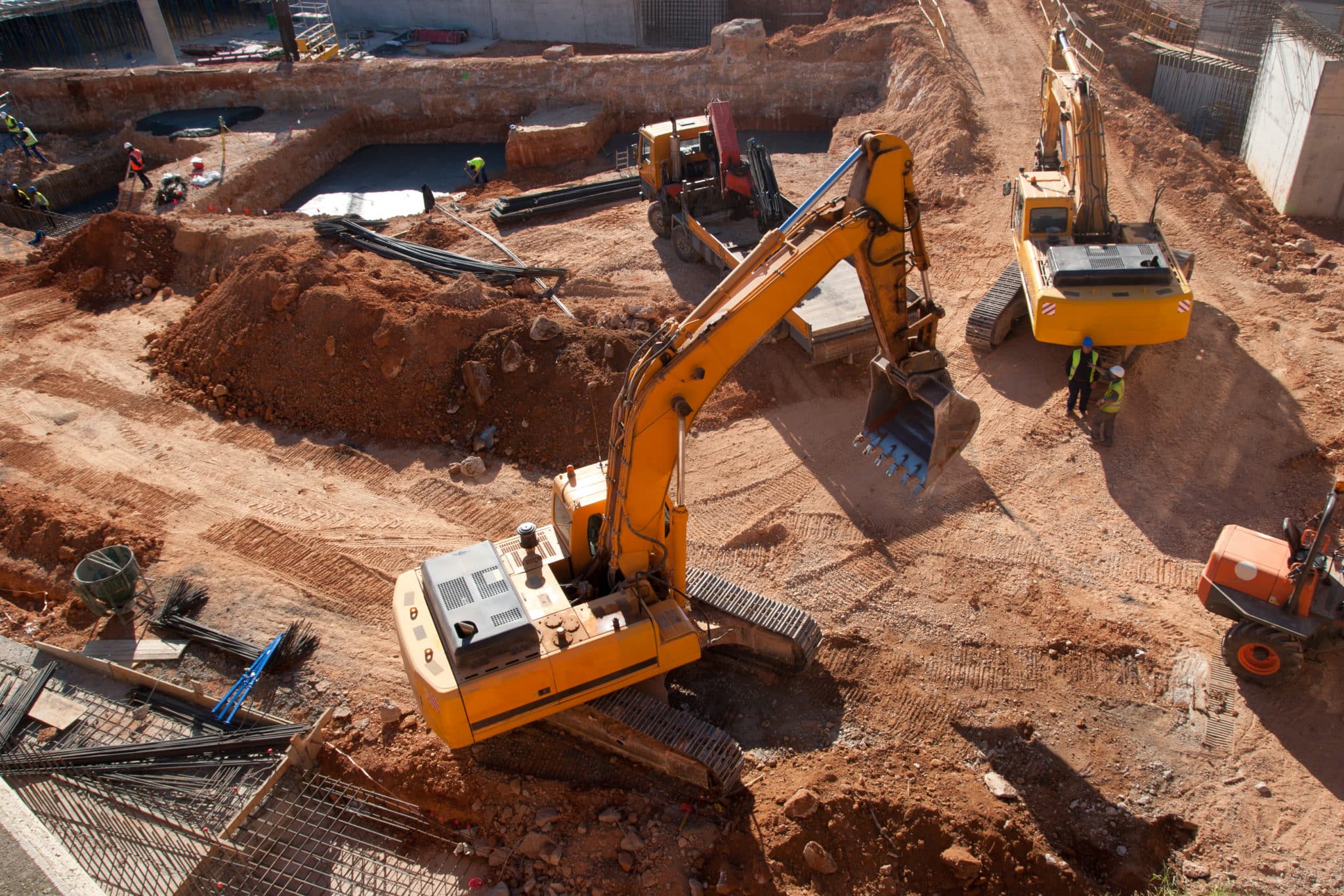
Construction
With drone mapping, construction professionals can quickly survey large or tough-to-reach areas for accurate site measurements at every stage of a project, including pre-bid and project takeoff. This process decreases survey cost and improves turnaround time, helping contractors avoid cost overruns and project delays. Benefits include:
- Creating 3D site models to share with clients
- Easily capturing accurate pre-bid topos
- Reducing downtime and improving scheduling
- Calculating volume measurements (cut/fill)
Land surveying
Surveyors and GIS professionals use drones because they make the process of creating accurate, three-dimensional topographic maps easier, safer, and more efficient. Drones can fly over dangerous or difficult terrain and return easy-to-visualize topographic data after a mere ten-minute flight. Benefits include:
- Producing topographical surveys in approximately 24 hours
- Calculating accuracy to 1/10 foot
- Using local site calibrations
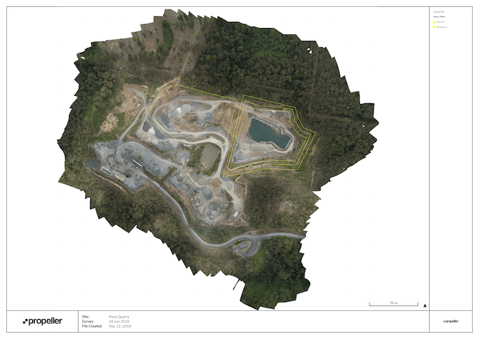
Mining & aggregates
Large mining sites and quarries have historically been dangerous and time-consuming to survey on foot, so surveys were rare and expensive. However, drones allow you to quickly gather data from your mining or aggregates worksite without the risk of climbing stockpiles or maneuvering around moving equipment. Benefits include:
- Stockpile inventory management
- Haul road monitoring
- Operation planning and assessment
- Visualizing progress against linework and design files
Waste management
With drone surveying, you can quickly verify how well outside slopes of your landfill have been built to ensure regulatory compliance and maximum use of your airspace. You can also perform quick and accurate calculations of compaction densities and remaining airspace. Benefits include:
-
- Accurate density and volume calculations
- Visualizing cell progress
- Improving efficiency and maximize cell lifespan
Benefits of drone mapping
So now you know drone mapping is used for creating 3D representations of a worksite accurate to 1/10 foot. Here’s what that means to engineers, project managers, and surveyors on a day-to-day basis:
- Improved worksite safety: Drones can fly over hazardous terrain and calculate height, slope, and volume without the need for anyone to climb a stockpile or walk a worksite.
- Streamlined communication: Keep field and office teams on the same page with a single source of truth accessible anywhere from the cloud. A 3D map helps prevent disputes, and a centralized platform with unlimited users makes communication simple.
- Optimized labor: It’s costly for workers to arrive on-site and discover that they can’t get started until another team has finished. Drone mapping prevents downtime by keeping everyone informed about a worksite’s real-time status.
- Reduced costs and survey time: Drone flights can take as little as 10 minutes, making the end-to-end cost of a drone flight significantly lower than traditional survey methods.
How Accurate is Drone Mapping
Through a process called photogrammetry drone mapping is capable of providing incredibly accurate surveying results across very large areas of space. Photogrammetry is the process of stitching together a large number of photographs that can later be analyzed to measure distances and volume calculations down to very specific measurements. Drone mapping and surveying is capable of providing the most accurate surveying results in the quickest and most cost effective way possible.
While other forms of surveying like traditional surveying or base and rover surveying can also deliver highly accurate results they tend to take a much larger amount of time and resources to gather. In addition, they also require more specific skill sets to operate and can be much more error prone than drone mapping which is capable of surveying enormous areas highly accurately due to its vertical based perspective and cutting edge software like Propeller that can measure things incredibly accurately.
How much does a mapping drone cost?
Depending on what type and quality of drone you need, the answer to this question can vary greatly, but generally speaking drones that are fit for surveying for mapping purposes are of a high quality and a bit more expensive than consumer-grade drones. On the low end a drone fit for surveying could be as cheap as $370 like the Parrot PF728000. On the high end some of the best made drones in the world can cost more than $10,000 like the DJI Matrice 300 RTK Universal Edition .
Understanding what you need from your drone is necessary before this question can be answered accurately for everyone. If you need something with long battery life and the ability to survey large industrial sites like mining and construction sites we would recommend something like the DJI Phantom 4 RTK which offers all the necessary features to map sites at an industrial scale but with industry leading affordability and reliability. But if you are someone who is just interested in drones for recreational purposes you could look towards lower price ranges around only a couple hundred dollars or less.
Drone Mapping Software
Drone mapping software enables earthworks and civil construction companies to map and survey large areas of land using a drone or UAV. First, the drone flies over the worksite and captures overlapping photos of the terrain. By combining enough overlapping images of the same features, drone mapping software, like Propeller, can then be used to generate photorealistic 3D representations of topographic surfaces.
The Propeller solution uses photogrammetry to streamline data processing, and produces 3D maps to help earthworks professionals manage progress throughout their projects. The software makes it possible for them to calculate area, volume, slope, and many other measurements by viewing and manipulating their 3D map. Those measurements are also very accurate–up to 1/10th of a foot (3 cm).
By surveying with a drone and using drone mapping software, contractors can decrease their cost per survey, while equipping their teams with the up-to-date progress data they need to accomplish more work in less time. And with the complete visual progress timeline you get from drone software solutions like Propeller, you can settle disputes, reduce rework, and minimize fuel burn on your worksite.
What is needed for drone mapping
Before you can get into drone mapping, you’ll need to first consider what type of drone will work best for your needs. Quadcopter drones are a popular choice given their portability, ease of use, and accessibility. Drones like DJI’s Phantom 4 RTK and Mavic 3 Enterprise have high-quality cameras suitable for mapping a worksite.
VTOL (vertical takeoff and landing)/fixed-wing drones are ideal for flying large areas. In addition to their faster flying speeds, they can also fly for nearly an hour on a single battery cycle and perform very well when mapping corridors and other linear areas.
Next, ground-level correction is necessary for accurate drone mapping because the accuracy of GPS location alone is only within two to five meters. Because of this, you’ll need to place ground control points (GCPs) on your site before flying your drone. GCPs are fixed points on the ground that are captured by the drone during aerial mapping. Smart GCPs, like Propeller’s AeroPoints, upload their ground control data wirelessly to your mapping software and establish a “source of ground truth” for an aerial survey.
Lastly, you’ll need to choose the appropriate drone mapping software. The software you use for drone mapping is as important as your drone and other mapping equipment like GCPs. Ideally, the software you choose should provide an end-to-end solution. This means that it can be used for planning the surveys, data management, data processing, and publishing of the processed data.