Increase worksite safety with drone technology

Read Time: 4 mins
Quick links

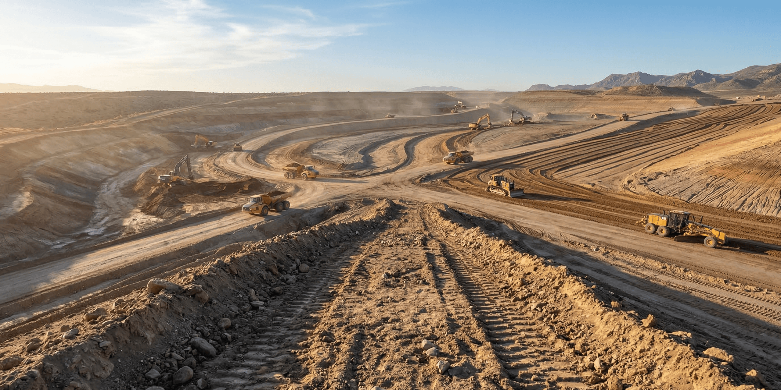
    Construction sites carry the highest injury rate of any industry, with falls, struck-by incidents, electrocution, and caught-in accidents accounting for the majority of fatalities. Drones address all three dimensions of this problem: keeping surveyors off hazardous terrain, giving safety teams proactive visibility over grades, berms, and slope conditions, and reducing the number of people on site by bringing stakeholders into a virtual 3D environment instead.

    It’s no secret that construction sites are dangerous. The non-fatal injury rate in construction is 71% higher than that of any other industry, and according to the Centers for Disease Control and Prevention (CDC), approximately 1,000 workers die on worksites each year.

    The “fatal four” causes of death on worksites, according to the Occupational Safety and Health Administration (OSHA), are:

    The fatal four

    01

    Falls

    02

    Struck by object

    03

    Electrocution

    04

    Caught in or between objects

    These are scary stats, and contractors are taking action to address them and improve worksite safety.

    One key step toward managing risk and keeping workers safe is adopting advanced technology.

    Construction has historically lagged behind most industries in technology adoption, partly because software and hardware weren’t quite predictable enough to replace traditional methods until the last few years.

    Now that drone surveying has become increasingly common on worksites, contractors are seeing a significant improvement in projects across the board: lowering cost, optimizing labor, and improving worksite safety.

    Here are the top three ways we’ve seen drones improving safety conditions on construction sites.

    #1: Survey worksites remotely

    In the past, accurate site surveys required a surveyor to manually walk the site with a base and rover.

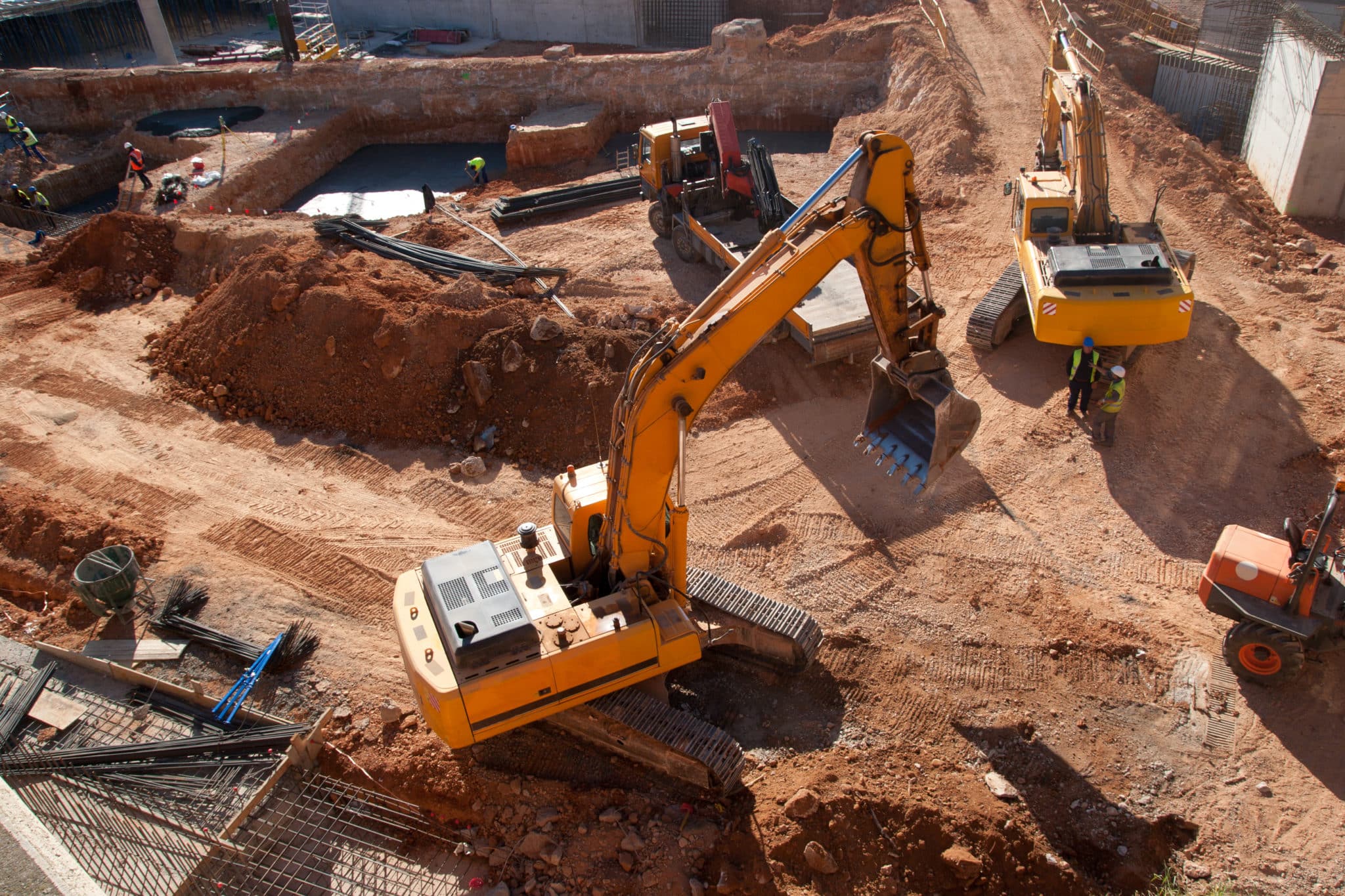
    This traditional process is expensive and time-consuming, not to mention dangerous. The terrain is often unstable or hazardous, and on an active worksite, there’s lots of heavy equipment on the move.

    (Remember, two of the “fatal four” are falls and getting struck by heavy objects like construction equipment.)

    1 in 200
    chance a construction worker dies in a worksite accident over a 45-year career
    1 in 5
    worker deaths each year occur in the construction industry

    Source: Safetynow.com

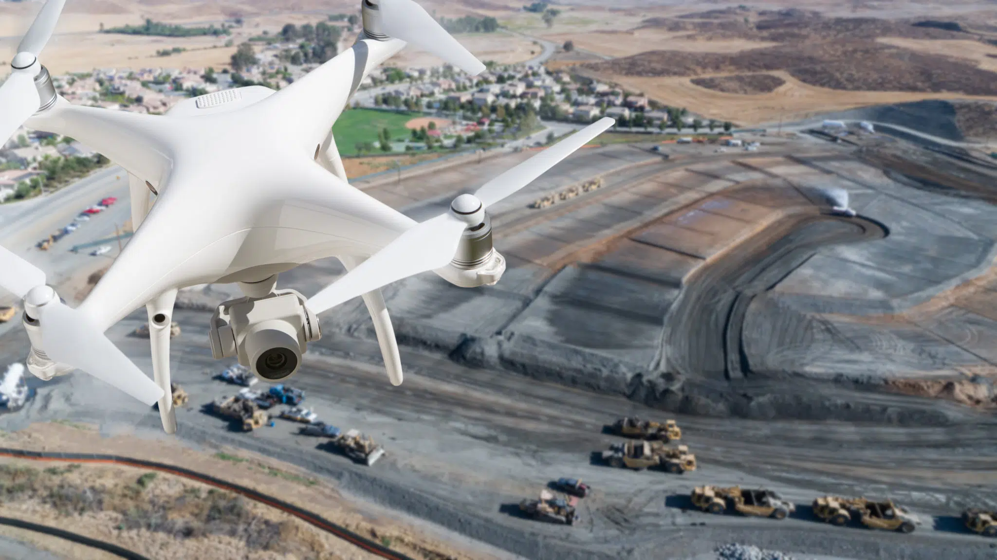
    Today, contractors are leveraging drone technology like Propeller PPK to minimize risk and keep workers safe, which largely involves keeping them away from worksites as much as possible.

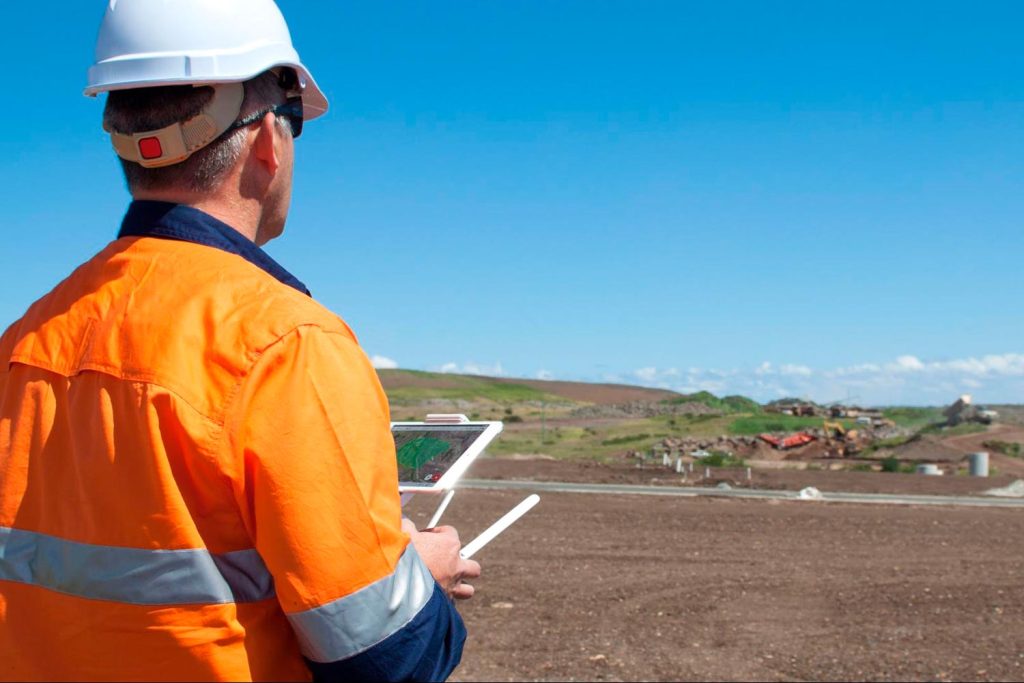
    Drones enable surveyors to get accurate, survey-grade data on a worksite without having to walk the entire site.

    Drone surveying on a construction site

    Because they’re so easy to complete, drone surveys can be done at any stage of a project, from pre-bid surveys and takeoffs to project completion, with regular surveys along the way to track progress.

    Stockpile volumes

    Measure inventory without sending anyone onto the pile.

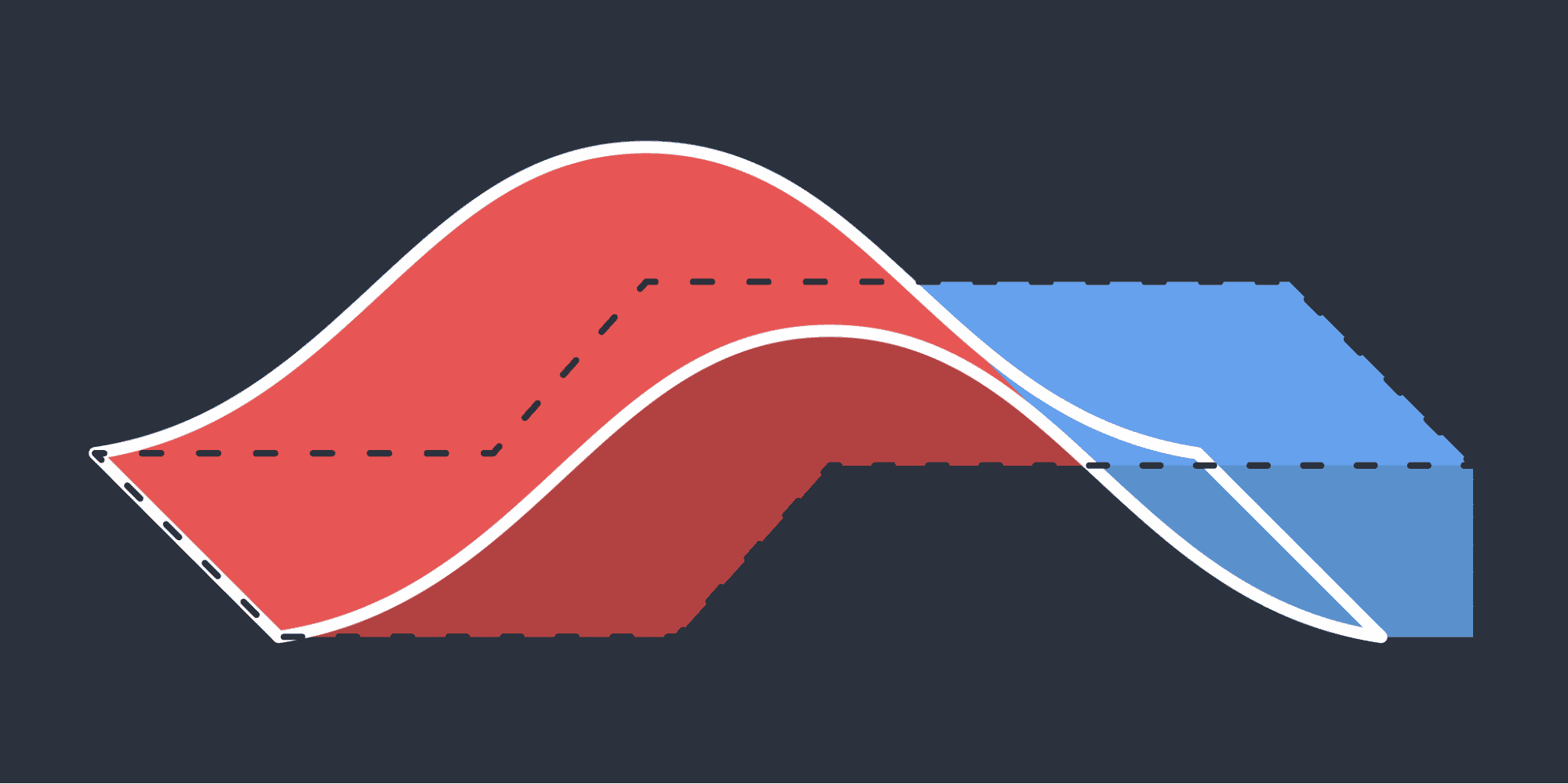
    Cut/fill calculations

    Quantify earthwork without sending crews into hazardous terrain.

    Design comparison

    Catch divergences from design before they compound into safety or cost problems.

    The ability to complete site surveys more often, with far less risk, has enabled contractors to demonstrate that their worksites are both safer and more efficient.

    #2: Assess hazards on an active worksite

    When it comes to keeping sites safe for workers, the best case scenario is identifying, flagging, and correcting safety hazards before they’re ever an issue. Drones are the best way to do just that.

    The time to learn about a dangerous grade on a worksite is not when a takeoff team is on the ground with a base and rover. It’s before anyone ever stumbles upon that grade, from the safety of solid ground.

    Drone surveys can be completed in just a few minutes, and used to create detailed, accurate 3D maps without traditional ground control.

    Propeller’s workflow enables customers to simply place a single AeroPoint on the ground, fly the site, and upload the data. That kind of speed makes it easy to keep everyone up to date on the condition of hazardous areas as worksites change over time.

    In addition to monitoring known hazards, drones are useful in maintaining proactive safety standards as well. The highly accurate 3D maps generated from drone photogrammetry can measure key safety metrics:

    Haul road grades

    Monitor grades to reduce risk for equipment operators and foot traffic across the site.

    Berm heights

    Verify heights meet required standards to protect both equipment and personnel on site.

    Cell slope integrity

    Track slope conditions across cells and catch stability risks before they escalate.

    Contouring

    Identify drainage issues, unstable terrain, and on-site risks before crews are ever exposed.

    If hazardous conditions arise, Propeller Crew enables teams to communicate in real time so everyone stays up to date.

    #3: Walk stakeholders through a 3D site map

    The more people you have on a worksite, the more likely an injury will occur, which is why the approach to worksite safety is twofold:

    1. Adopt any measures necessary to make job sites safer
    2. Minimize the number of people on-site at any given time

    In the days before modern construction software, it was often necessary to walk clients and other key stakeholders through an active worksite to demonstrate progress or explain delays, exposing them to risk in the process.

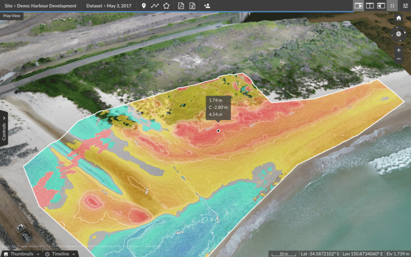
    Thanks to high-accuracy 3D site maps created by drone photogrammetry and accessible through the Propeller Platform, contractors can share progress tracking data and real-time images with everyone who needs to see them.

    Managing an outdoor worksite

    Walk the team through a virtual landscape instead of a physical one, further reducing any risk of a safety breach and enhancing communication in the process.

    “It’s much easier to grant stakeholders access to reporting and real-time 3D mapping than it is to take them through an active site.”

    And in many cases, the data is richer on the other side of a screen

    For example, stakeholders can simply point and click to measure stockpile volumes or see how much cut/fill is left to go, paving the way for clearer, faster communication across the project team.

    All told, drones are a cost-effective and efficient way to level up safety on construction sites. As the adoption of drone surveying programs continues to expand, we expect to see a dramatic reduction in worksite injuries and fatalities, too.

    Quick links

      Related articles

      Inside Propeller #2: Progress tracking tools for Project Managers

      Welcome to the Inside Propeller series (2/6) In the first installment of our Inside Propeller…
      Aerial photo looking down at high-rise building site.

      Cut and Fill Calculations for Construction Sites

      Cut and fill extraction, sometimes called “excavation and embankment,” means moving earth from one location…

      10 Ways Drone Data and Earthwork Software Can Make Your Next Project a Success

      Drones have quickly become one of the most valuable tools on any worksite, from mines…

      Ready to learn how Propeller can power up your worksite?

      We’re happy to show you how Propeller can power your worksite, and boost productivity.

      Related articles

      Better blast planning, monitoring and quarry reporting using drone data

      Propeller gives mining teams accurate pre- and postblast site data by combining high-precision drone surveys…

      Using Drone Data to Visualize and Measure Coastline Erosion

      It’s vital for governments and environmental protection organizations to monitor and measure coastline erosion and modification…

      Beyond reporting on stockpiles: What else you can measure with drones and Propeller’s volumetric tools?

      Propeller’s three volume measurement modes (Smart Volume, Volume Compare, and Reference Level Volume) give earthwork…