If you’re new to drone surveying, you’re probably a bit lost in all the talk about PPK post-processing and RTK drone technology. We talk through how this tech works in another post, but since everyone comes to this technology somewhere different, we thought we’d share how a PPK workflow can transform your existing survey operations.
In this article, we’ll explain how a PPK workflow can revolutionize surveying on your worksites if you’ve never surveyed with a drone before.
What is PPK?
PPK stands for “post-processing kinematic,” which means that the images and GPS data collected by drones in flight are processed against data from a base station post-flight, rather than in real time.
Drones reduce survey time, project cost, and overall risk
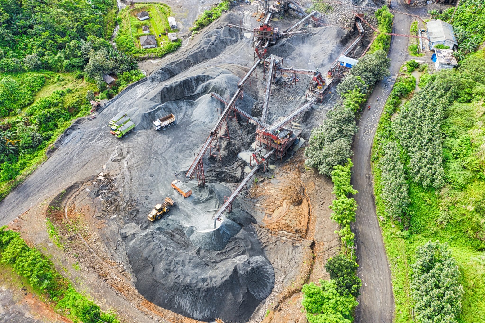
From mines and quarries to construction sites and landfills, if you’re working without the aid of drones to complete on-site surveys, Propeller PPK can have a dramatic impact on your existing workflows.
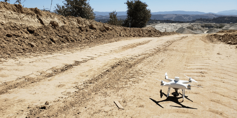
Generally speaking, drone surveying reduces your end-to-end survey time to hours rather than days or weeks. This makes it easy to survey more often, getting the real-time data you need on-site as often as you want to fly.
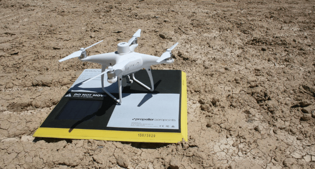
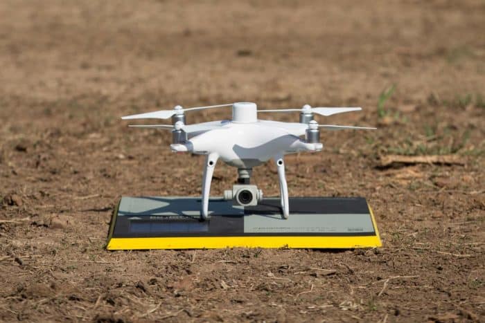
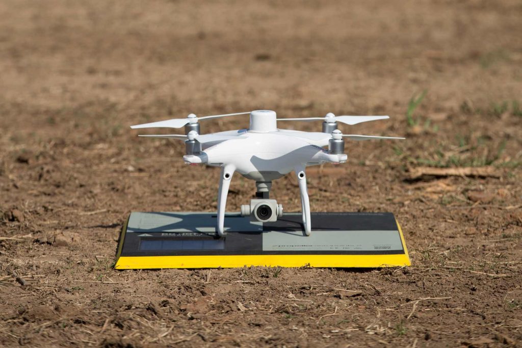
Drones don’t require advanced training or education, so almost anyone can capture data. Instead of sending out personnel to trek over possibly dangerous terrain with a base and rover, you can use just one AeroPoint and a drone to fly your site in less than an hour (depending on the site’s size).
A simple end-to-end drone surveying workflow
The operational workflow couldn’t get any simpler:
- Plan your drone’s flight with the easy-to-use app
- Find a safe, open area on your site to use for launch
- Set an AeroPoint on the ground nearby and press the single button to engage
- Hit Go on your drone flight
Once the drone finishes its flight and automatically returns to your location, upload your data to Propeller and let us do the processing for you. No need to download any software, or to tweak or preprocess imagery or site data.
In 24 hours, your 3D site survey will render with survey-grade accuracy. You’ll be able to measure, track, and manage your site and all your assets immediately.
Propeller PPK provides a survey-grade solution
No matter where you’re starting in your drone operations, Propeller PPK can improve your surveying workflows. At the end of the day, you want accurate survey data that’s easy to obtain—and that’s what we’ve built.

Propeller PPK gives you the confidence that comes with data you can trust. It’s not just a workflow—it’s a solution that closes the drone surveying loop and eliminates points of failure associated with inconsistent ground control layout.
Blend the reliability of industry-leading drone hardware with the user-friendly functionality of the Propeller Platform, and you get surveys accurate to 1/10 foot without the hassle and complexity of traditional surveying workflows.
Want to dig into the details?
We’ve got you covered. Check out our PPK digital guide to cut through the confusion and get straight to what you need to know about PPK.