Why Propeller?
Industries
Construction
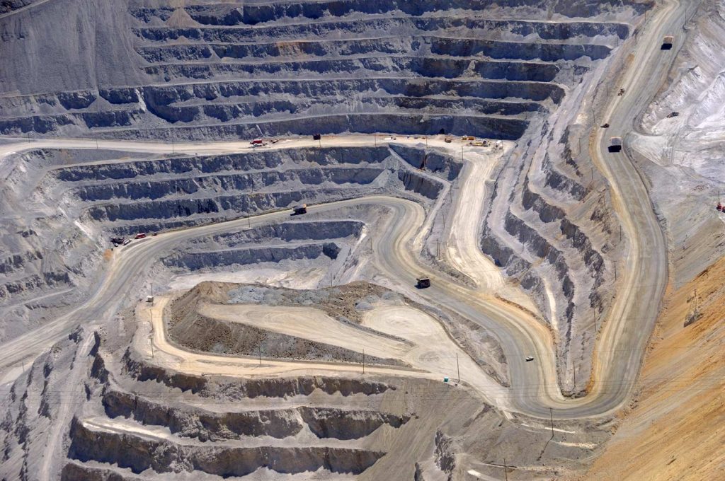
Aggregates + Mining
Waste Management
Survey + Engineering
Workflows
Map
Make data and survey processing simple.
Measure + Manage
Access insights and manage your site like never before.
PPK Drone Mapping
Capture, process, and correct survey-grade drone data.
People
Culture + Values
Founders + Board
Open roles
Solutions
PLATFORM
Propeller
A cloud-based workspace where you can map, measure, and manage your site.
Hardware
AeroPoints
DirtMate
Drones + Sensors
Data Services
Photogrammetry Processing
Lidar Processing
Resources
Connect
Training + Support
Learn
Customer Stories
Resource Center
Knowledge Base
Webinars
English
Deutsch
Login
Contact us
Contact us
Login
Why Propeller?
Industries
Construction
Aggregates + Mining
Waste Management
Survey + Engineering
Workflows
Map
Make data and survey processing simple.
Measure + Manage
Access insights and manage your site like never before.
People
Culture + Values
Founders + Board
Open roles
Solutions
PLATFORM
Propeller
Hardware
AeroPoints
DirtMate
Drones + Sensors
Data Services
Photogrammetry Processing
Lidar Survey Processing
Resources
Connect
Training + Support
Learn
Customer Stories
Resource Center
Webinar
English
Deutsch
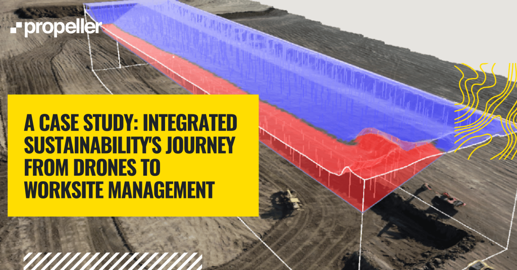
A Case Study: The Journey From Simple Drone Surveys to Worksite Management (Part One)
DHGI’s Survey Manager on Why Propeller is the Key to His Drone Program’s Success
Family-Owned Business With Large Footprint Sees 10X ROI from Drone Program
The ConTechCrew Podcast Episode #210 Recap: Why Propeller is “Next-Level”
CONEXPO 2020 Recap: Here’s What You Missed
Bracing for 2020: Past, Present, and Future of Drones in Construction
How to Survey Worksites with Significant Elevation Change
Photogrammetric Processing 101: To Self-Process, or to Not Self-Process?
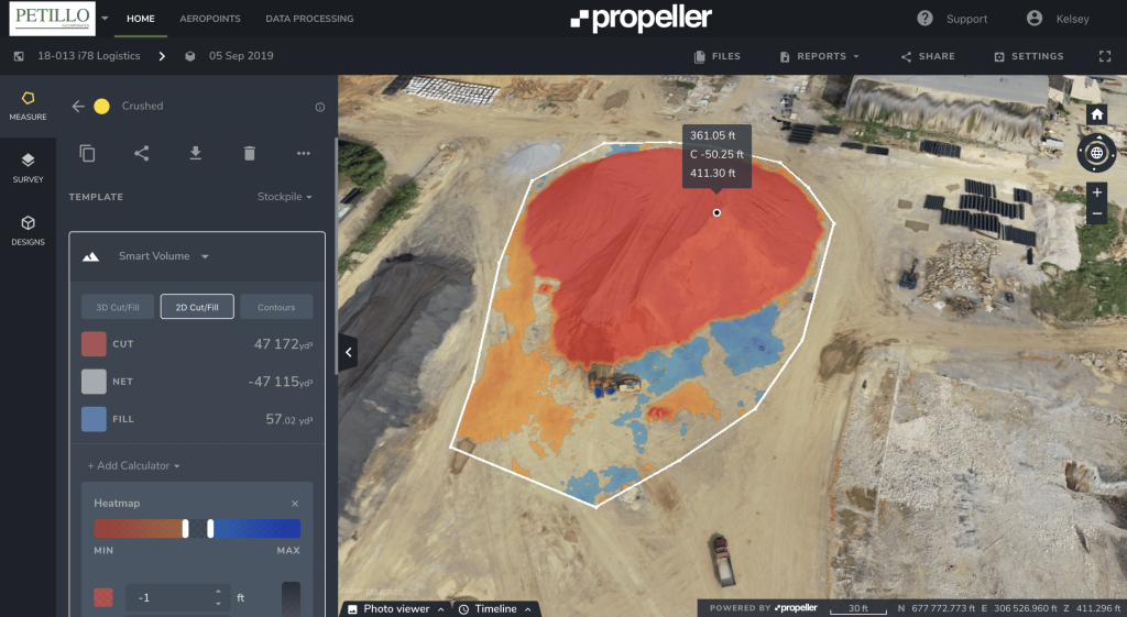
New Jersey-Based Petillo Inc. Manages Environmental Issues, Balances Worksite Using Drone Data
Use The Ultimate Guide to PPK Drone Surveying
Previous
1
…
3
4
5
6
7
Next
Menu