This is a guest post from Landpoint’s Dustin Price.
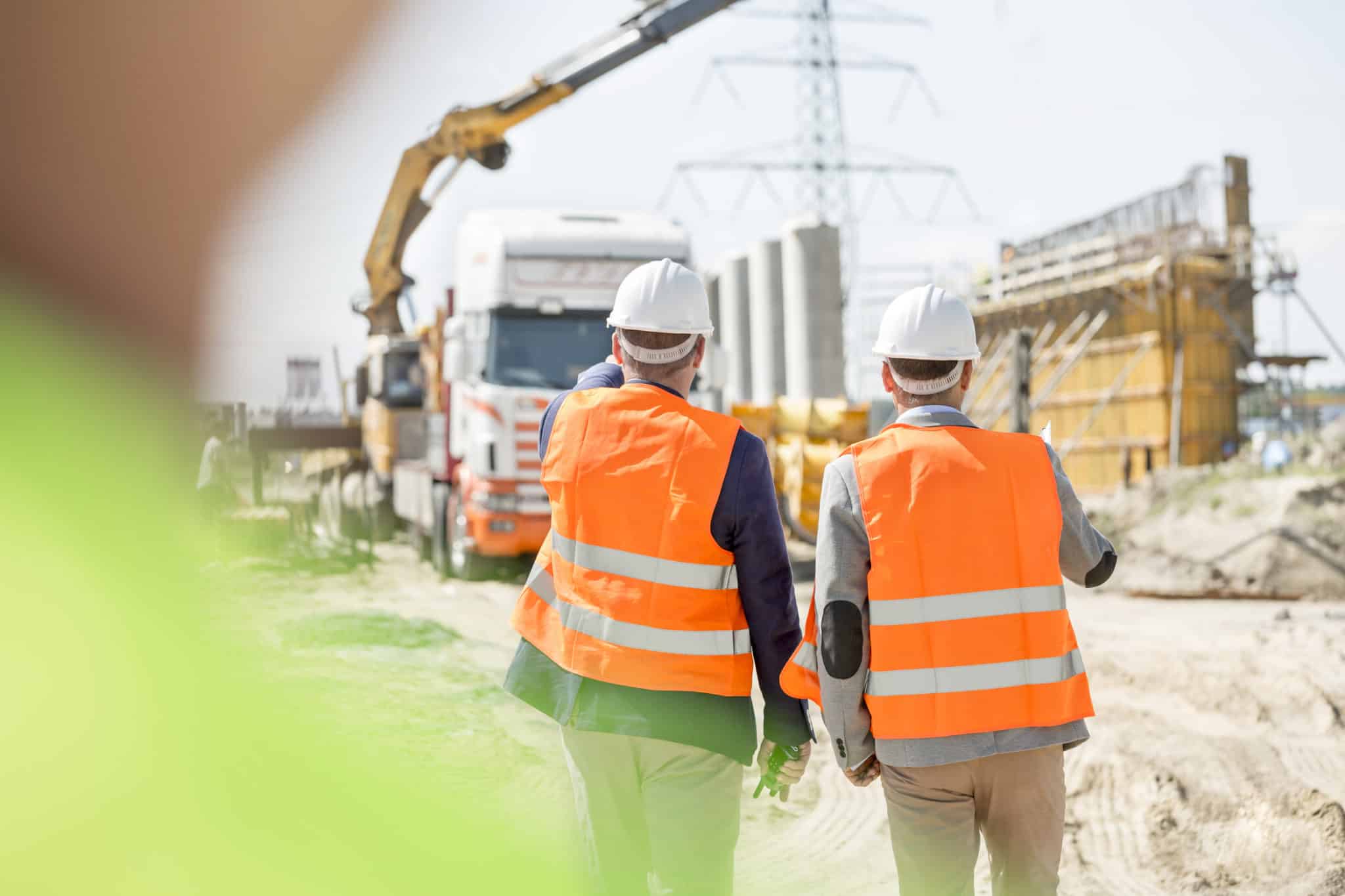
Worksites can be dangerous places, but technological improvements continually make them lower-risk. The last thing any company wants is an injury on their worksite, but often there are also only so many resources available. Companies need to find ways to improve safety without having to invest a significant amount of time as well.
Things like regular aerial surveys and the Internet of Things (IoT) offer up-to-date construction data that can be used to improve worksite safety and management, without contributing substantially to the overhead of the business.
Here are some ways that aerial surveys, in particular, can reduce risk for a worksite.
Generating lidar point clouds for an overview of the worksite
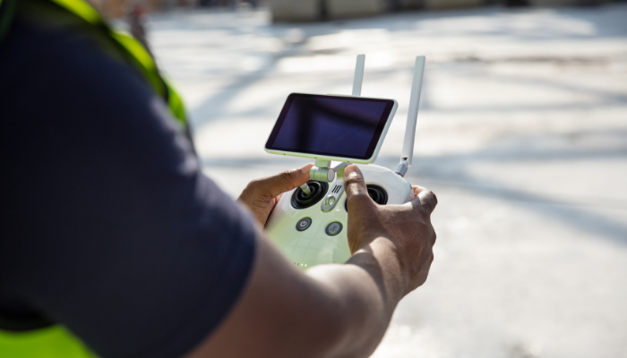
Lidar, a combination of the words “light” and “radar” backronymed into “light detection and ranging,” works by sending out laser beams and detecting how long it takes to be reflected, creating a point cloud of hundreds of thousands to millions of data points, which can then be interpreted into real-world data. When operated from a UAV platform, proper positioning and accurate sensors, and thus proper IoT linkage, are paramount—one would not want their point cloud to say everything is a foot higher than it is!
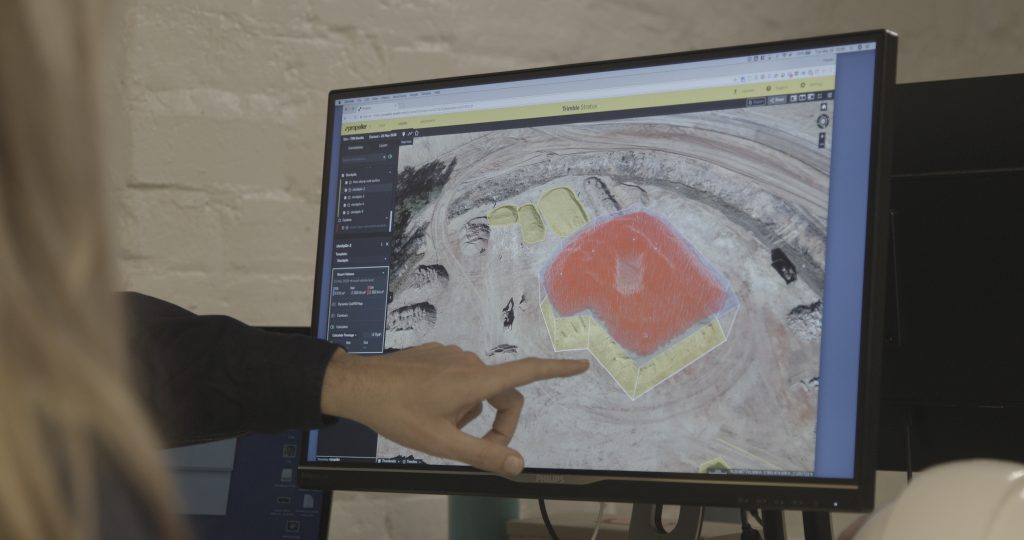
Drone surveys can collect lidar point clouds that give an excellent overview into the state of a workplace and can build accurate 3D models. This means identifying potential hazards and avoiding them or fixing them in a more timely basis. Lidar can also penetrate light cover like brush, and can identify even small, manmade objects.
Lidar’s accuracy and precision are what makes it so effective at the process of aerial survey.As this is a point cloud, it can be used and analyzed in a number of different ways, accurately representing the terrain and equipment below.
Building accurate 3D models to represent the worksite
Once lidar data has been collected, it can then be analyzed to create accurate 3D models. These 3D models can be used to create simulations of a worksite, such as simulations of a project that is currently in progress.
3D models can also be used for new renovations and repairs, to show how the worksite will change, and to identify any potential risk factors. For instance, a 3D model generated through a lidar point cloud could identify some improper alignments in a normally out-of-view area, meaning that the work can be redone—costly, to be sure, but much less so than finishing the project and running the risk of structural failure!
With enough data, the analysis of risk factors can go beyond simple 3D models to include simulations. With the use of physics systems, risk factors such as load issues can be addressed. Materials can be tested in a simulated environment, and the worksite as a whole can be explored to prevent problems such as unusually dark areas or glaring sunshine—which could be a fire hazard. The more data is collected, the safer the eventual project will be.
The effect of the buildings on the surrounding environment can also be simulated, which can reduce the chances for significant environmental impact.
Mining data to identify potential worksite problems
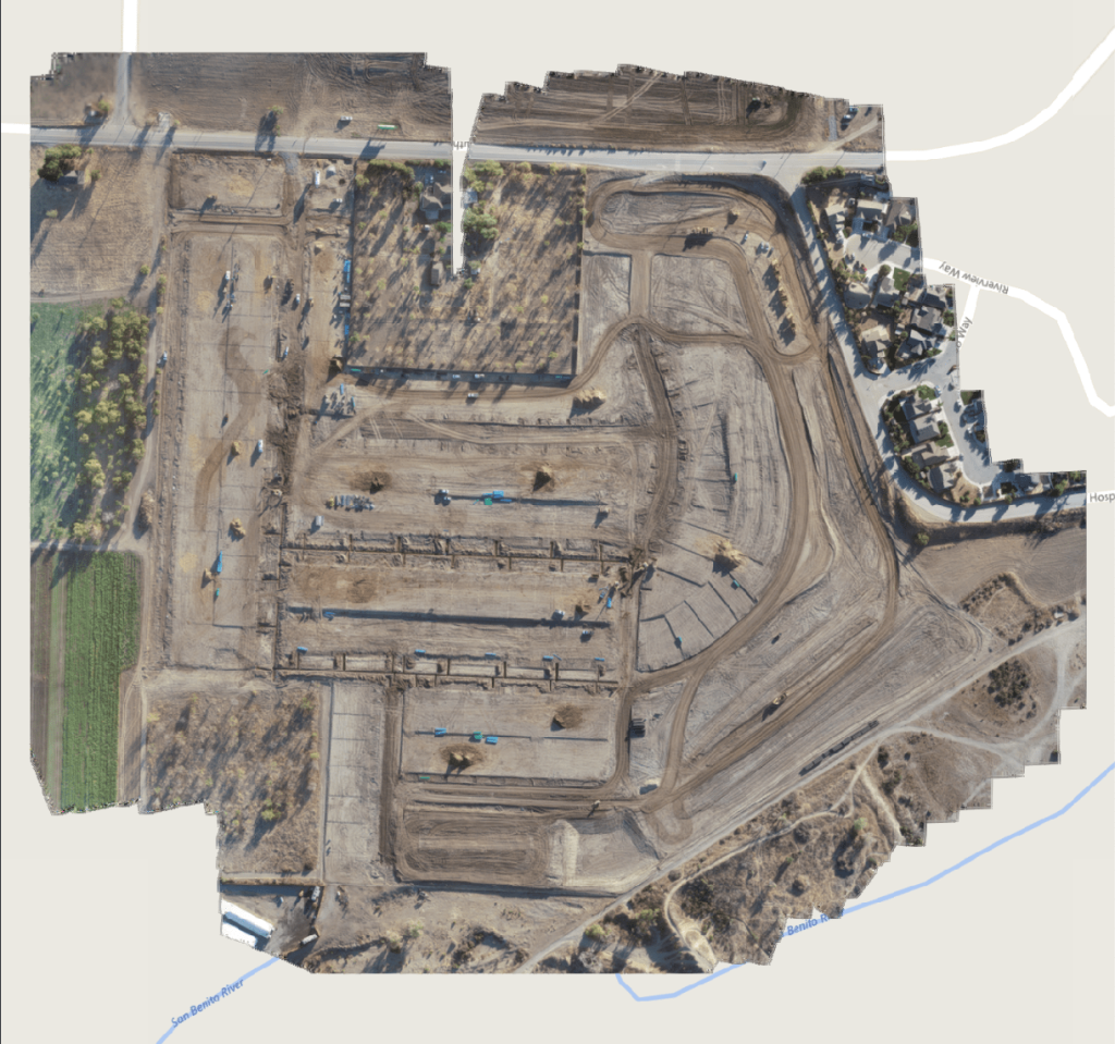
Data can help every worksite identify problem areas through data mining. Not only can data be used to create models or run simulations, but the data itself may reveal potential worksite issues, such as problems that crop up in specific areas of the worksite, or the most common types of injury on a worksite. With terrain information, data can be mined to determine how water will flow through the site, or whether there may be any issues with groundwater.
Previously, these sorts of simulations and predictions had to be made through hand calculations and guesswork—highly educated and experienced guesswork, to be certain, but still work based on intuition rather than digital data.
For example, design elsewhere on a site may contribute to an existing drainage system getting more water than predicted and consequently being subject to flooding, which consequently might lead to erosion problems down the road. Identifying this issue early on in a project so the drainage system can be upgraded or the externality itself corrected—and water diverted elsewhere—means averting a future problem.
Aerial surveys will give information about how the worksite functions, which includes a geographic map that can then be used to identify problem areas. Once these problem areas have been identified, regular surveys can be used to ensure that the area is being kept compliant with safety standards.
Regularly inspecting work sites for appropriate safety processes and safety gear
Often, injuries occur due to a lack of compliance. Employees aren’t following safety processes or wearing safety gear. Employees are more likely to voluntarily follow safety processes if they know that inspections are occurring regularly. Aerial surveys via drone don’t need to be fast; drones are able to move at any speed, and thoroughly cover areas, to ensure that everything is as it should be.

This is especially true when looking for clutter and damage. Drones can be used to determine whether a worksite is being kept clean and debris free, or whether the current area could pose a hazard.
Comparing models to projected development
When development goes awry, it may not be caught until an inspection. Often, changes occur during the process of development, but aren’t run up the entire chain of command. This can lead to issues later on.
To avoid this, current aerial surveys can be compared to the development projections and models. If there are any significant changes, management will be able to look into the problem. Keeping the project on track will also reduce the chances for missed deadlines.
Linking with Internet of Things devices to provide a comprehensive overview of the location
In warehouses and similar worksites, UAVs and IoT devices can be linked. UAVs may be able to see the location of all heavy equipment, or may be able to tap into a grid that includes the warehouse’s products. By linking with the IoT, UAVs can also link to sensors and get complete information about worksite safety, including equipment that might be malfunctioning or misplaced.
With aerial scans, it’s easy to get a quick above-ground snapshot of the situation down below, and that can easily be used to ensure that equipment and warehouse materials are being used as they should be.
With regular aerial surveys, worksites of all types can engage in regular inspection. Inspections can be done when worksites are being built and when they are in operation, and they can be used to ensure that security and safety protocols are being followed, and that the project is progressing as it should be. Altogether, this is an important and incredible stride forward for worksite safety and management.
Key takeaways
Data is key to a safe construction site—both in terms of identifying current issues that must be fixed, as well as future problems that could arise from things that may not immediately look like issues.
There is no method better for accurately and quickly collecting this data than a lidar inspection carried out by a nimble UAV platform. Any worksite would benefit tremendously from executing regular drone-based inspections, keeping their workers safe and helping a project be completed on time and under budget.

Author Bio
Dustin Price is a licensed land surveyor and operations manager at Landpoint. He leads the company in determining the technical approach for delivering professional, tailored surveying services through UAV technology.


