How to Care for Your AeroPoints

Read Time: 2 mins
Quick links

    AeroPoints™ are used on all types of worksites, all over the world—which means they get a ton of use. Caring for your AeroPoints before, during, and after flight is important to ensure optimal function and long life for these smart ground control points (GCPs).

    AeroPoints are tough, and generally require very little maintenance. But sometimes nature tests them in unusual ways, like when a black bear tries to eat them. To help extend the life and performance of your AeroPoints, bears aside, here are some basic things to consider:

    Caring for AeroPoints before you fly

    If your AeroPoints are new, or if you haven’t used them in a while, make sure they’re fully charged before you head out on site. It takes about five hours to fully charge your AeroPoints via the plug-in, wall charger.

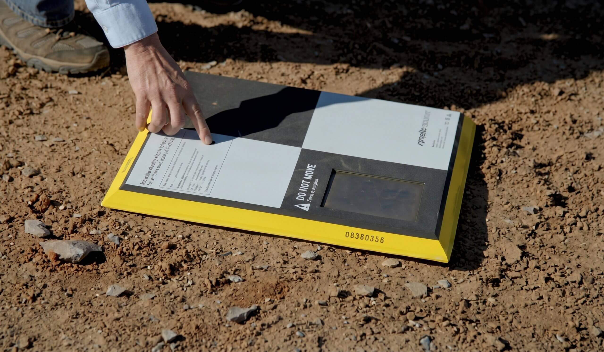
    Use a damp cloth to wipe any dust, mud, or grime from the solar panel located at the top of the AeroPoint.

    Caring for AeroPoints while on site

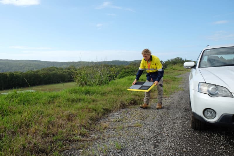
    When laying out your AeroPoints, ensure they have an unobstructed view of the sky. Avoid placing them beneath trees, walls, buildings, or power lines.

    Also avoid laying them in areas where they are likely to be disturbed or moved by people, animals, or vehicles.
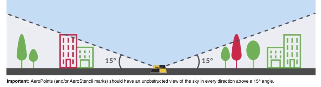
    where to place ground control points

    AeroPoints are built to be water-resistant (they can handle some light rain, mud, or splashes), but they aren’t waterproof. This means they shouldn’t be fully submerged or left out in heavy rain.

    Caring for AeroPoints after your flight

    Once you collect your AeroPoints, remove any dirt and dust with a damp cloth as soon as is practical. They should be kept clean and dry when not in use.

    Store your AeroPoints in the bag provided, placing them back-to-back to avoid scratching the solar panels with sand or gravel.
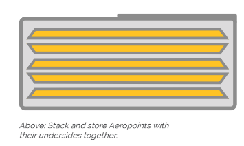
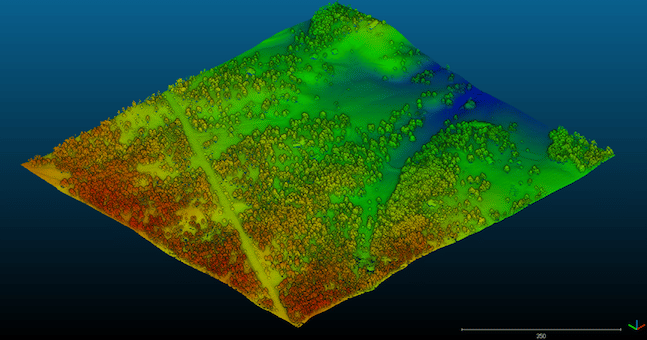
    ground control points

    Quick links

      Related articles

      Unearth your potential with underground utility mapping

      Learn what a point cloud actually is and then how drone data is integrated with…
      Ground-level view of a graded construction earthwork surface showing two soil textures meeting along a clean line, evoking stitched orthomosaic map tiles

      What is orthomosaic mapping? Orthomosaics, orthophotos, and mapping software explained

      Orthomosaic mapping stitches hundreds of overlapping drone images into one geometrically corrected map with consistent…
      Aerial drone survey photo with Exiftool.

      How to Batch Geotag Drone Survey Photos with Exiftool

      Many of our users have advanced knowledge of surveying software and supporting programs. But even…

      Ready to learn how Propeller can power up your worksite?

      We’re happy to show you how Propeller can power your worksite, and boost productivity.

      Related articles

      Drone pilot in hi-vis flying a drone next to a crane, with an AeroPoint on the floor.

      Things To Know About Ground Control in Drone Surveying

      Ground control is the go-to option for turning drone data into highly accurate, survey-grade models.…

      Telecom Tower Inspection using DJI Phantom 4 Pro: Step-by-Step Guide

      A few weeks ago a new DJI Phantom 4 Pro was delivered to our office.…
      A surveyor laying an AeroPoint on the ground stood next to a car.

      5 Ways to Use Your AeroPoints Sets

      AeroPoints™, Propeller’s smart ground control points, were designed to be used in five different ways.…