When we first released the Propeller PPK worksite management solution back in 2018, we were among the first to offer our customers an end-to-end drone data processing solution that would make surveying faster, simpler, and more reliable—not to mention safer.
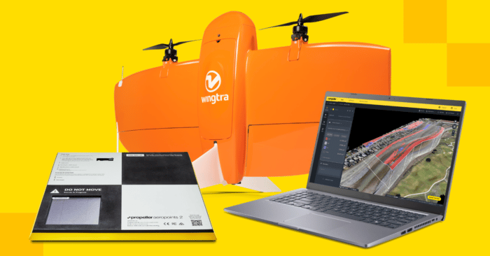
Now, we’re leveling up yet again by expanding Propeller PPK’s drone hardware options to include the WingtraOne vertical take-off and landing (VTOL) drone.
WingtraOne allows you to conduct small and large-scale drone surveys with unmatched data quality, in a fraction of the time you might spend using a quadcopter.
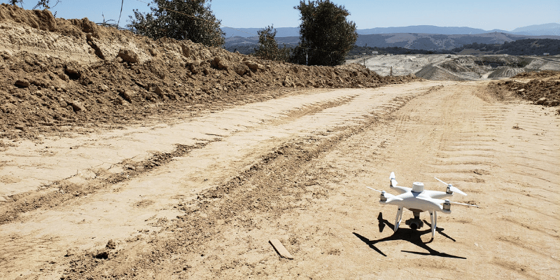
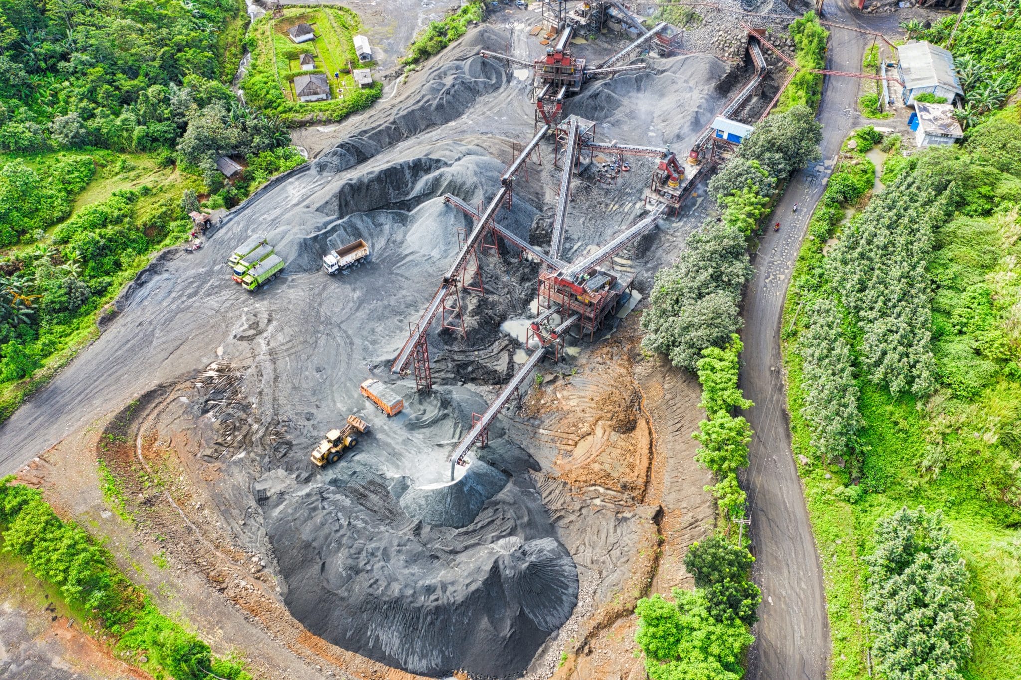
For most of our customers, an affordable quadcopter drone like the Phantom 4 RTK works perfectly well—but that’s not always the case. Large worksites (think mining or road projects), or sites located in dense urban areas, can benefit from using VTOL drones to collect the data they need quickly, accurately, and safely.
That’s why we’re thrilled to announce the integration of Propeller PPK with WingtraOne.
Meet WingtraOne
WingtraOne is a Swiss-made VTOL drone designed to offer the best functionality from both quadcopters and fixed-wing drones.
What are VTOL drones?
VTOL (Vertical Take-Off and Landing) drones represent a blended approach to drone hardware, combining elements from both quadcopter and fixed-wing designs. They take off and land vertically like a quadcopter, making them perfect for dense urban areas with limited space. But they act like fixed-wing drones in flight (meaning: they’re fast!) to facilitate high-efficiency, large-scale mapping.
WingtraOne’s unique set of features takes Propeller PPK to places it’s never gone before, empowering you to minimize flight time while capturing the high-quality image data our customers have come to expect.
Here are just a few of the features we love about WingtraOne:
- Efficient fixed-wing flight: Fly at speeds up to 36 mph (16 m/s) for up to 59 minutes per flight to cover large land areas for your biggest projects.
- 42 MP camera: A good camera for surveying should have a 20 MP (or higher) sensor. At 42 MP, WingtraOne can fly higher than other drones with lower-resolution cameras, so you can cover more ground—and capture more detail—with every image.
- Lower image overlaps: High-quality optics mean you can reconstruct your map reliably, even with lower overlaps. Think more new ground covered in each flight, but with maximum coverage.
- 10 km telemetry range: Stay connected with your drone via a direct line of sight range up to 6 miles (10 km).
- Smart batteries: Li-ion cells, with short circuit, over-charging, and under-voltage protection. Safe and compliant with UN regulations for carry-on luggage.
- Data quality: With the 42 MP RX1R II camera, you can achieve sub-centimeter level GSDs, down to .7 cm (0.4 in). Together with the integrated PPK GNSS receiver you can also achieve best in-class absolute accuracy down to 1 cm (0.4 in) horizontal and 3 cm (1.2 in) vertical. (This level of accuracy is achievable under optimal conditions, on hard surfaces, using a well-established base station or correction data from CORS network. The results can be validated with high-accuracy checkpoints.)
Interchangeable payloads: Whether you need data for orthophotos, 3D models or multispectral mapping, WingtraOne carries the best camera for every application. Choose from RGB Sony QX1 and RX1R II, or multispectral MicaSense RedEdge and Altum cameras.
WingtraOne Quick Reference Guide
With its durable fiberglass design and fully autonomous vertical take-off and landing, the WingtraOne is ideal for fast and efficient large-scale drone surveying. Customers who rely on drone speed, or require the highest-resolution images available, will find what they’re looking for in WingtraOne.
Like all VTOL drones, WingtraOne is more expensive than quadcopters like the Phantom 4 RTK. It’s also larger and more challenging to transport. (Though the WingtraOne backpack solution allows one person to easily carry the full set of gear.)
But for a large worksite, the pros far outweigh the cons. As a general rule, if your site is larger than 500 acres, you’ll need the VTOL drone to complete surveys quickly enough for the data to be up-to-date and valuable on-site.
Propeller PPK: a refresher
WingtraOne is only the second drone ever to be paired with Propeller PPK—so if you’re not quite sure how it all works, no sweat. Here’s a quick overview.
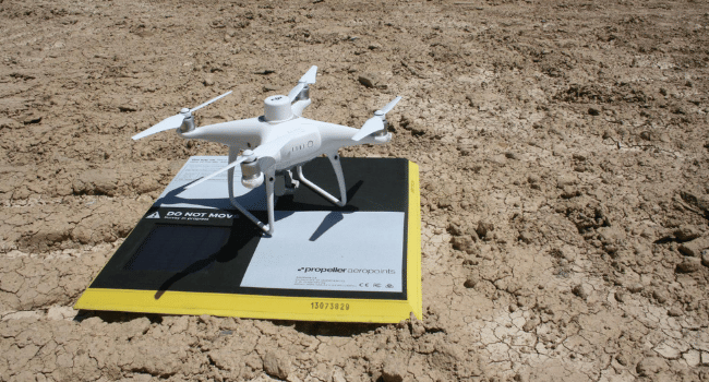
Propeller PPK combines your choice of drone hardware offerings with AeroPoints, our “smart,” high-precision ground control points, and the Propeller Platform, a cloud-based application for processing, mapping, measuring, and sharing aerial data.
Together, these three elements (drone, AeroPoints, and the Propeller Platform) form a singular worksite management solution that couldn’t be easier to integrate into your existing workflow. You’ll get data that’s more accurate and less time- and labor-intensive to collect, allowing you to strategize material movement, assess risk, and increase cross-team collaboration.
In short: we’re working hard so you can spend more time focusing on the big-picture work that matters most, with less time in the field.
The Propeller PPK solution you love—now with more variety
Propeller PPK works for everyone, but individual drone hardware doesn’t.
That’s why we’ve made it possible for you to pair Propeller PPK with the drone that best suits your on-site needs. From small construction sites to large roadwork projects, we’ve got you covered.
Propeller PPK with WingtraOne is an automated drone data processing solution that harmonizes Propeller software and VTOL WingtraOne drone hardware to help you map more ground, more accurately than ever before.

Whether it’s a highway, an industrial complex or a mine, you can now take on large projects that were previously impossible to map with a drone. Simply drag and drop your WingtraOne flight data into Propeller, and let our experts handle the rest.
Get complete automation of PPK geotagging and photogrammetry for high-accuracy results, every time you fly.
Also, check out the latest WingtraOne VTOL drone—the WingtraOne GEN II—equipped with several advanced features. This new drone is ideal for worksite drone surveying and fully compatible with Propeller PPK.