Why Propeller?
Industries
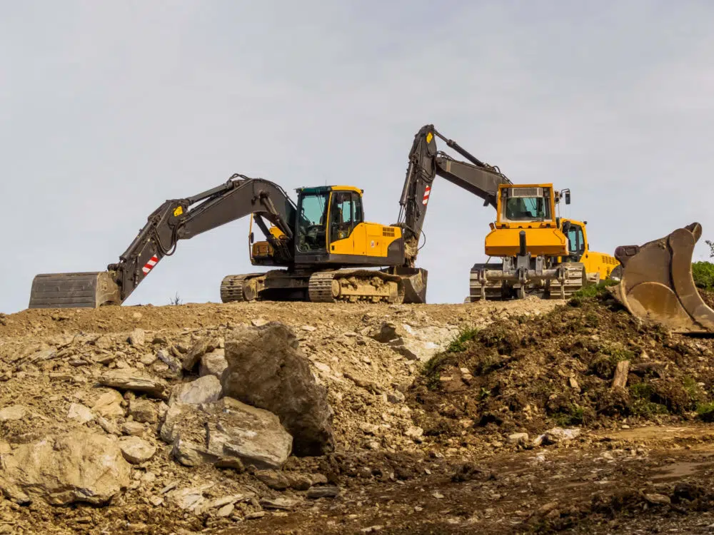
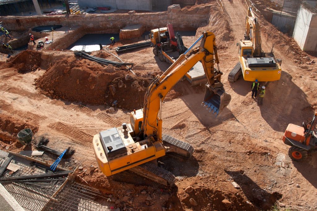
Construction
Aggregates + Mining
Waste Management
Survey + Engineering
Workflows
Map
Make data and survey processing simple.
Measure + Manage
Access insights and manage your site like never before.
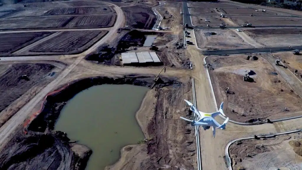
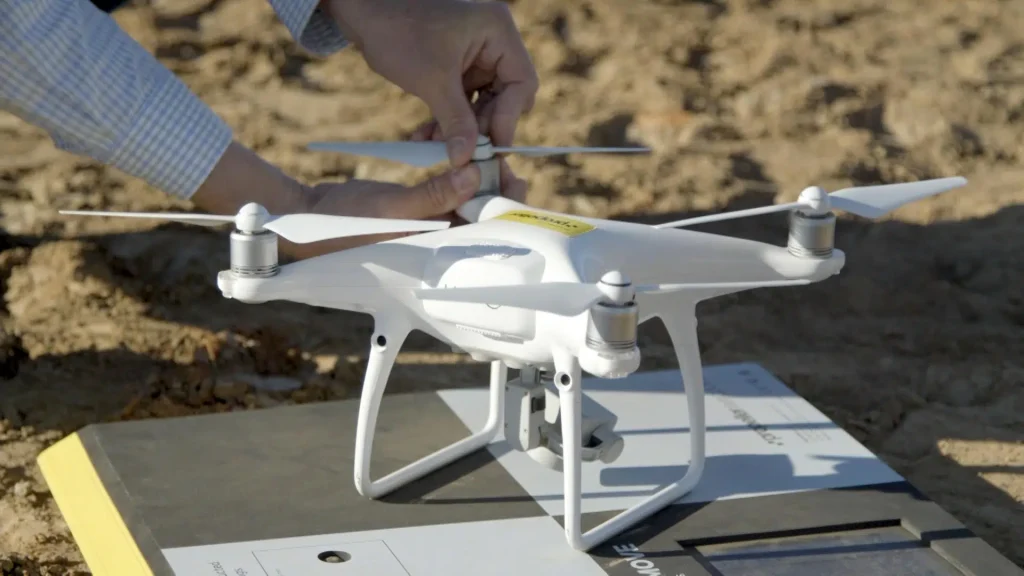
PPK Drone Mapping
Capture, process, and correct survey-grade drone data.
People
Culture + Values
Founders + Board
Open roles
Solutions
PLATFORM
Propeller
A cloud-based workspace where you can map, measure, and manage your site.
Hardware
AeroPoints
DirtMate
Drones + Sensors
Data Services
Photogrammetry Processing
Lidar Processing
Resources
Connect
Training + Support
Learn
Customer Stories
Resource Center
Knowledge Base
English
Deutsch
Login
Contact us
Contact us
Login
Why Propeller?
Industries
Construction
Aggregates + Mining
Waste Management
Survey + Engineering
Workflows
Map
Make data and survey processing simple.
Measure + Manage
Access insights and manage your site like never before.
People
Culture + Values
Founders + Board
Open roles
Solutions
PLATFORM
Propeller
Hardware
AeroPoints
DirtMate
Drones + Sensors
Data Services
Photogrammetry Processing
Lidar Survey Processing
Resources
Connect
Training + Support
Learn
Customer Stories
Resource Center
English
Deutsch
3 Ways to Improve Your Worksite Efficiency
Five Points You Should Know about Drone Data Accuracy
What is Drone Surveying?
Stop Playing Telephone with Your Construction Data: Achieve a Single Source of Truth with Technology
Construction Trends You’ll Want to Keep an Eye on in 2022
Addressing Environmental Concerns in the Construction and Earthworks Industry with Drone Technology
Construction Cost Overruns: 5 Tips to Keep Your Budget on Track
3 Ways Drones Make Mine Reclamation Easier
U.S. Infrastructure Bill: Opportunity Knocks for Construction Teams – How Should You Prepare?
Drone Data Workflows and Automated Processing with PPK and Composite Surveys
Previous
1
2
3
4
5
6
…
10
Next
Menu