Why Propeller?
Industries
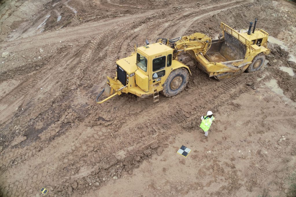
Construction
Aggregates + Mining
Waste Management
Survey + Engineering
Workflows
Map
Make data and survey processing simple.
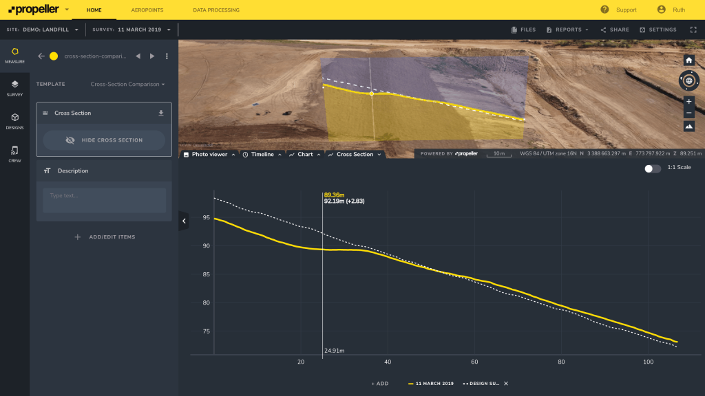
Measure + Manage
Access insights and manage your site like never before.
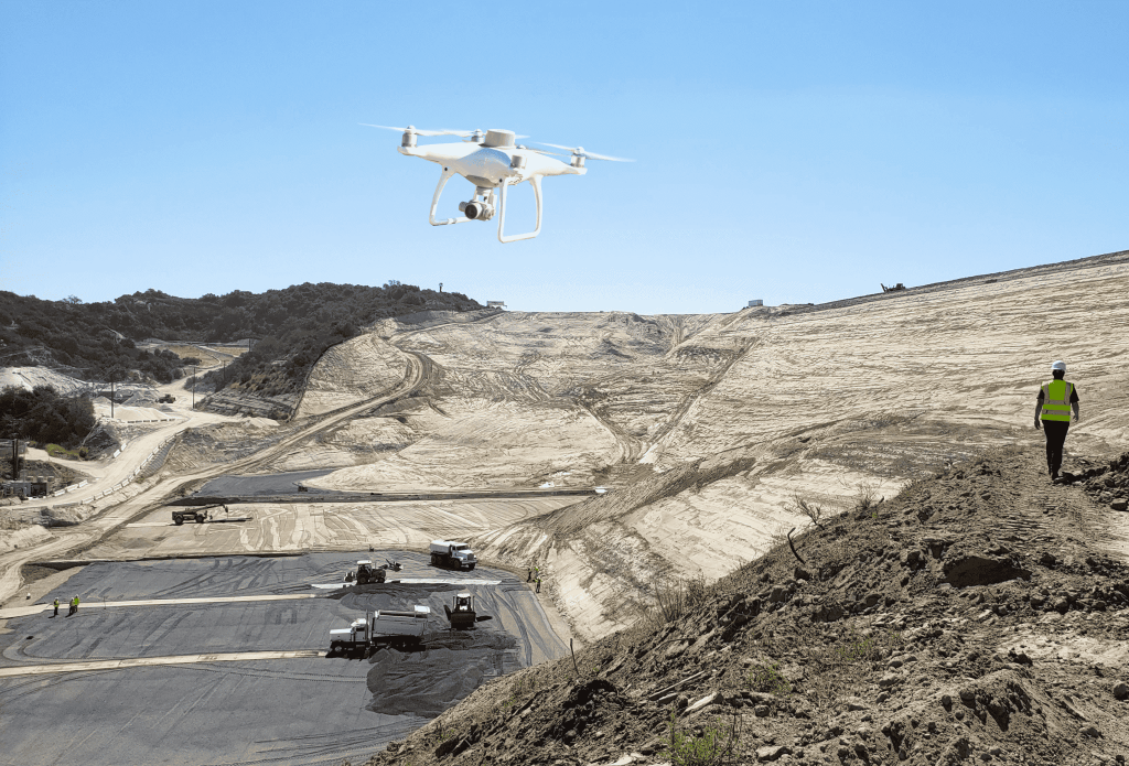
PPK Drone Mapping
Capture, process, and correct survey-grade drone data.
People
Culture + Values
Founders + Board
Open roles
Solutions
PLATFORM
Propeller
A cloud-based workspace where you can map, measure, and manage your site.
Hardware
AeroPoints
DirtMate
Drones + Sensors
Data Services
Photogrammetry Processing
Lidar Processing
Resources
Connect
Training + Support
Learn
Customer Stories
Resource Center
Knowledge Base
English
Deutsch
Login
Contact us
Contact us
Login
Why Propeller?
Industries
Construction
Aggregates + Mining
Waste Management
Survey + Engineering
Workflows
Map
Make data and survey processing simple.
Measure + Manage
Access insights and manage your site like never before.
People
Culture + Values
Founders + Board
Open roles
Solutions
PLATFORM
Propeller
Hardware
AeroPoints
DirtMate
Drones + Sensors
Data Services
Photogrammetry Processing
Lidar Survey Processing
Resources
Connect
Training + Support
Learn
Customer Stories
Resource Center
English
Deutsch
The Value of Interoperability and Partnerships
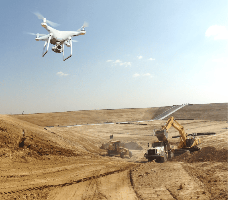
What is Ground Sample Distance and How Does it Affect Your Drone Data?
Integrate Your Propeller Data with Procore, BIM 360, Aconex, and OneDrive Software Programs
How Do Contractors Use Their Drone Survey and Design Data?
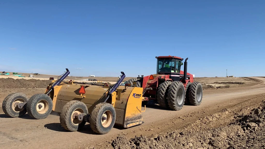
3 Ways to Improve Scraper Productivity in Construction
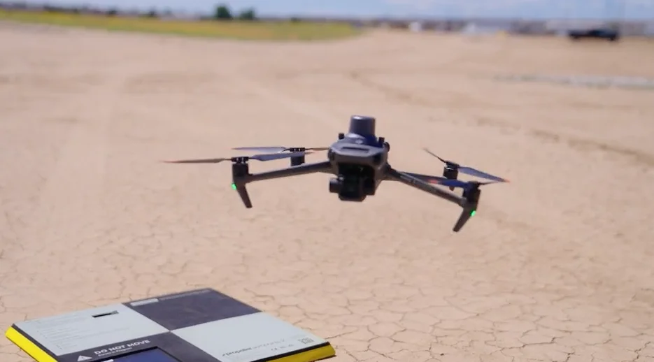
How DJI’s Phantom 4 RTK Delivers Reliable and Accurate Site Surveys
Summit Excavation’s Improved Earthmoving Calculations with Propeller and DirtMate
How You Can Get More Accurate Quantity Measurements
How to Better Understand the Impact Drone Surveying Can Have on Your Business
Key Factors to Consider When Selecting a Drone for Your Earthworks Business
Previous
1
2
3
4
5
…
10
Next
Menu