Why Propeller?
Industries
Construction
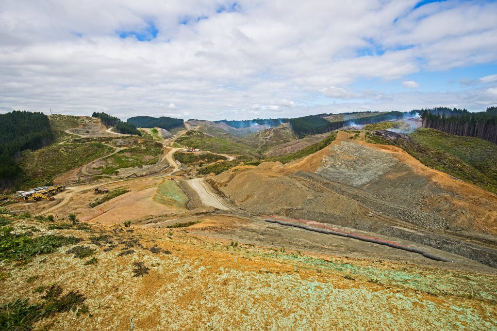
Aggregates + Mining
Waste Management
Survey + Engineering
Workflows
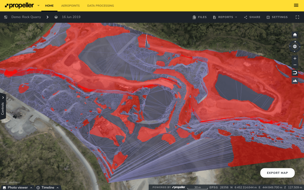
Map
Make data and survey processing simple.
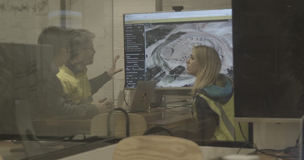
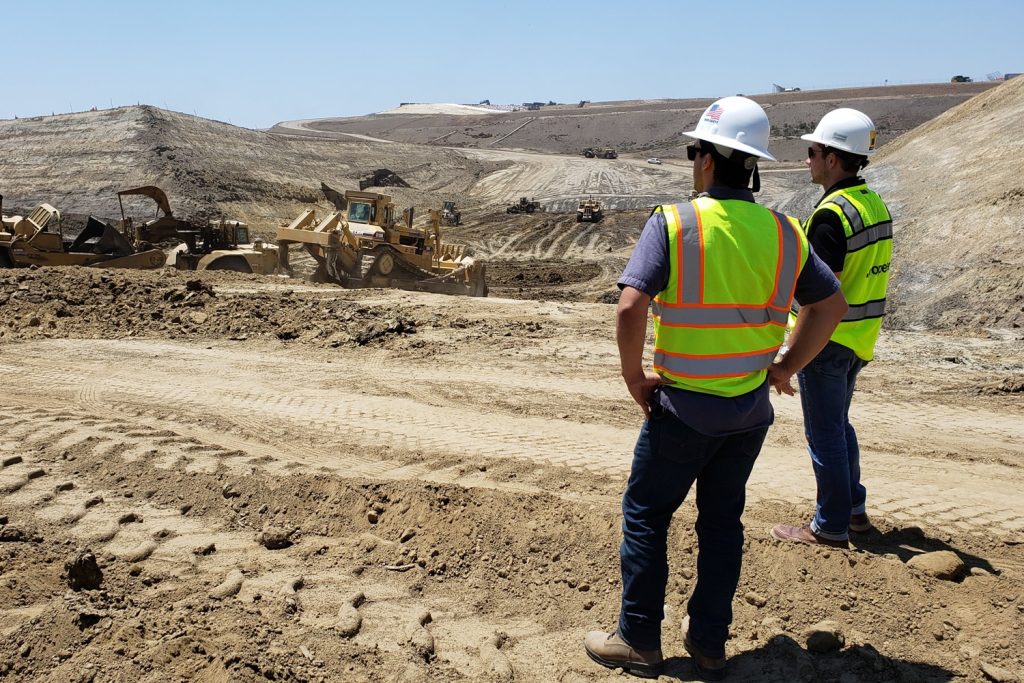
Measure + Manage
Access insights and manage your site like never before.
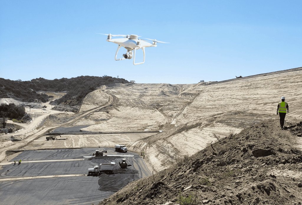
PPK Drone Mapping
Capture, process, and correct survey-grade drone data.
People
Culture + Values
Founders + Board
Open roles
Solutions
PLATFORM
Propeller
A cloud-based workspace where you can map, measure, and manage your site.
Hardware
AeroPoints
DirtMate
Drones + Sensors
Data Services
Photogrammetry Processing
Lidar Processing
Resources
Connect
Training + Support
Learn
Customer Stories
Resource Center
Knowledge Base
English
Deutsch
Login
Contact us
Contact us
Login
Why Propeller?
Industries
Construction
Aggregates + Mining
Waste Management
Survey + Engineering
Workflows
Map
Make data and survey processing simple.
Measure + Manage
Access insights and manage your site like never before.
People
Culture + Values
Founders + Board
Open roles
Solutions
PLATFORM
Propeller
Hardware
AeroPoints
DirtMate
Drones + Sensors
Data Services
Photogrammetry Processing
Lidar Survey Processing
Resources
Connect
Training + Support
Learn
Customer Stories
Resource Center
English
Deutsch
Five Steps to Successful 3D Drone Modeling of Your Worksite
10 Things Your Drone Software Should Get You Post-Survey
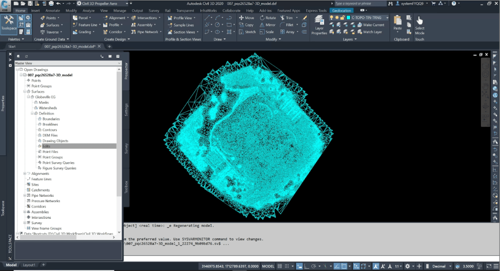
5 Civil 3D Workflows to Know for Integrating Drone Surveys and CAD
How Drone Data Processing Reports Help Surveying Professionals Build Trust
Four Things That Cause Bad Drone Survey Data
Why Coordinate Reference Systems Matter in Drone Surveying
How Propeller Handles The World’s Many Coordinate Reference Systems
NX2 Uses Propeller for Total Worksite Management on New Zealand’s National Motorway Project
2019 End-of-Year Review: What Has Propeller Built for You?
Use The Ultimate Guide to PPK Drone Surveying
Previous
1
2
3
4
5
6
7
8
…
10
Next
Menu