Why Propeller?
Industries
Construction
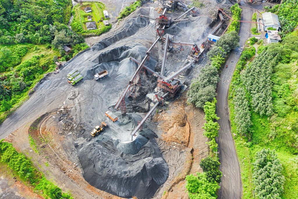
Aggregates + Mining
Waste Management
Survey + Engineering
Workflows
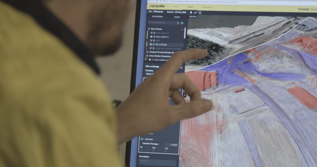
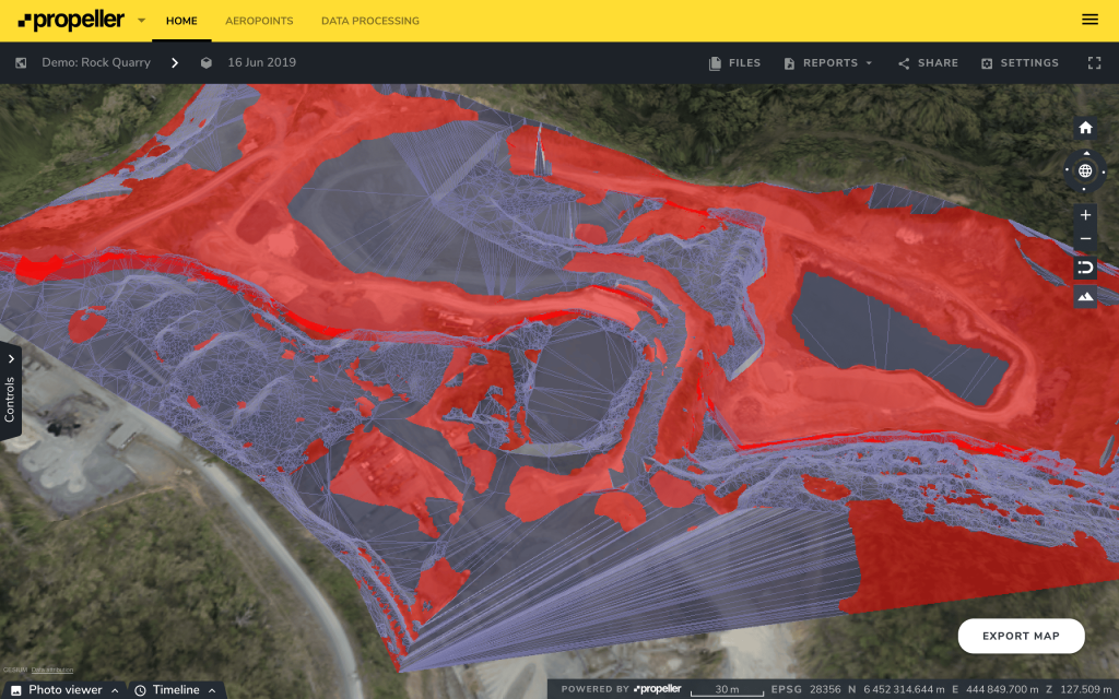
Map
Make data and survey processing simple.
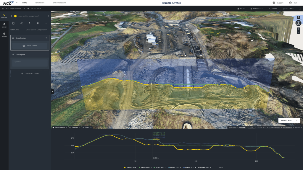
Measure + Manage
Access insights and manage your site like never before.
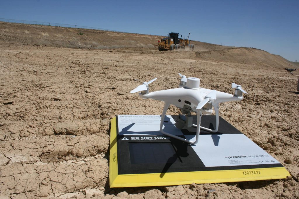
PPK Drone Mapping
Capture, process, and correct survey-grade drone data.
People
Culture + Values
Founders + Board
Open roles
Solutions
PLATFORM
Propeller
A cloud-based workspace where you can map, measure, and manage your site.
Hardware
AeroPoints
DirtMate
Drones + Sensors
Data Services
Photogrammetry Processing
Lidar Processing
Resources
Connect
Training + Support
Learn
Customer Stories
Resource Center
Knowledge Base
English
Deutsch
Login
Contact us
Contact us
Login
Why Propeller?
Industries
Construction
Aggregates + Mining
Waste Management
Survey + Engineering
Workflows
Map
Make data and survey processing simple.
Measure + Manage
Access insights and manage your site like never before.
People
Culture + Values
Founders + Board
Open roles
Solutions
PLATFORM
Propeller
Hardware
AeroPoints
DirtMate
Drones + Sensors
Data Services
Photogrammetry Processing
Lidar Survey Processing
Resources
Connect
Training + Support
Learn
Customer Stories
Resource Center
English
Deutsch
How Propeller Handles The World’s Many Coordinate Reference Systems
Propeller Customer Success 101: How We Help You Harness Our Products’ Power
Photogrammetric Processing 101: To Self-Process, or to Not Self-Process?
2019 End-of-Year Review: What Has Propeller Built for You?
Say Hello to Quick and Easy PDF Map Exports—Here’s What You Need to Know
Source of Truth, Seamless Data Sharing Eliminates Disputes for Oslo’s NCC
The Most Common Questions We Get From Propeller Customers Before They Commit
Women in UAV Surveying Q&A: Fyfe’s Heidi Gore
Construction Software You Should Know About
How Progress Tracking Makes Mine Reclamation Easier
Previous
1
2
3
4
5
6
…
8
Next
Menu