What does new technology adoption, efficiency improvements, and industry innovation have in common? You.
These things are only achieved thanks to the hard work of industry leaders, technology champions, and everyday people working in construction, mining, aggregates, and waste management, to name a few.
We’re turning the spotlight on one of these individuals to learn how they’re changing the way their company works for the better. This week, we spoke with Heidi Gore, the chief UAV pilot at Fyfe .
Tell us about Fyfe and your role there. What do you do?
I’m the chief pilot, as well as a surveyor. Fyfe is quite a diverse company. We offer surveying and GIS spatial data services. That’s how I originally started, but we also offer engineering, environmental management, town planning, and more.
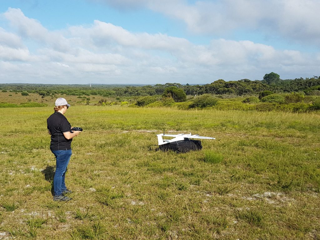
I was the sixth pilot on staff when I started in April 2017, and we now have over 20 licensed RPAS operators who are also surveyors. My role is to make sure everyone’s operating in line with CASA regulations. I research new technology; ensure the equipment is up to our operating standard; and train our crew to keep Fyfe up to date with the evolving technology.
What’s your career background?
I started my survey career when I was part way through study; I started working for Fugro in South Australia with hyperspectral data. My role involved operating specialized sensors in manned aircraft to capture data for environmental mapping purposes and then analyzing that data. I assessed plant health and different minerals on the ground. It was a bit of an unusual introduction to survey.
As that job was winding up, I was looking for other opportunities. I was always interested in drones and thought maybe that’s where I’d want to end up one day. I got that opportunity with another company, so I jumped on board there.
What inspired you to work in the survey industry?
Originally, I was a horticulturalist. I injured my back and went from being a very active person to not being able to do much at all. I was going a bit crazy and I thought I should study to keep my mind active.
I researched available courses at TAFE, which is equivalent to a technical college, and ruled out everything I didn’t want to do. Surveying was one thing that I hadn’t crossed out as it sounded like an interesting course and appealed to my skill set. So, I went and studied it and loved it. It was a whole career change.
Why did you look into using drones as a survey tool on your worksites?
Starting up a drone program happened before I started with Fyfe. One of the reasons to use drones and photogrammetry in Australia is because there’s so much open space.
Applications such as volume calculations have traditionally been surveyed using conventional methods can now be completed more efficiently using drones. It was a natural development with the technology evolving, offering increasing accuracies, safety, and efficiencies.
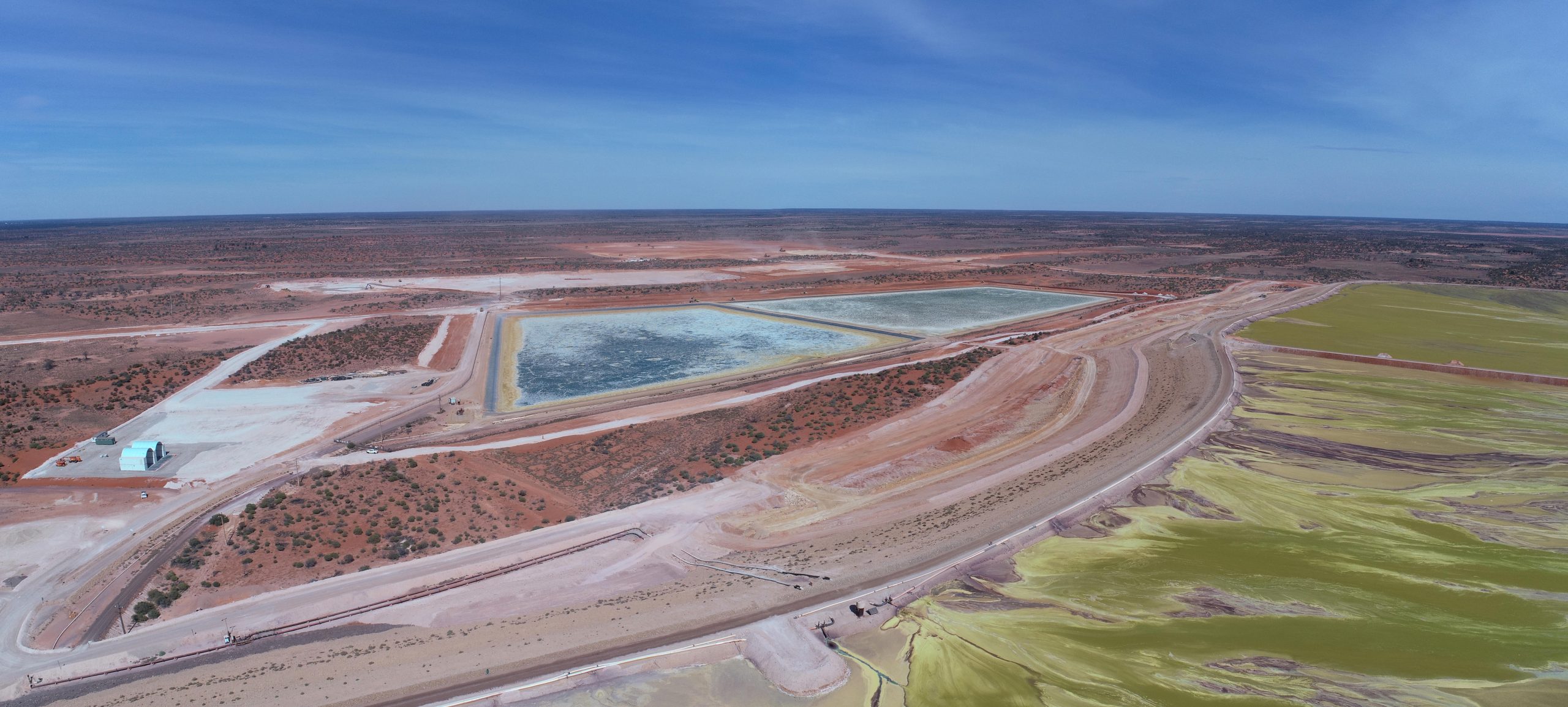
Our time on site is reduced and we can cover larger areas compared to traditional methods without the need to interrupt the worksite. There’s no downtime for operators and we’re safely on the ground. We’re not climbing over piles with who-knows-what in them. When mapping bare earth sites, the final product achieved is more accurate as well, which is what we’re always trying to achieve.
Drones offer surveyors another tool, allowing us to offer clients best-practice survey methods to achieve the most suitable outcome for a client. We combine drone technology with traditional methods to ensure an accurate result, ultimately providing better project results—especially when there is difficult to navigate terrain involved.
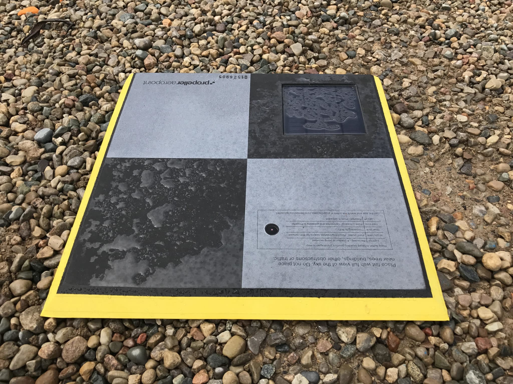
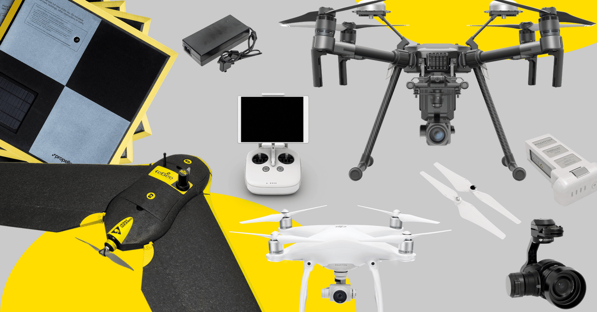
How do you use the Propeller Platform and/or drones in your team and role?
Our pilots survey control networks, control targets, and QA points. After completing the data capture, they upload everything to Propeller and wait for that magic email to come back to say it’s all been done while we’ve been off doing other jobs. We perform our own QA on surveys before issuing them to the client.
There are a lot of different disciplines on large mine sites and they can all benefit from this survey information. In addition to site planning and progress management, safety is of high importance. Our data allows offsite managers to monitor the site remotely. For instance, they can make sure the lay-down area is tidy or that the site has been set out with the correct distance for trucks to be able to turn around.
Generally, clients benefit from having Propeller’s visual dataset to view and extract the information exactly how they want. It gives them control, rather than just getting a number from a surveyor for volume. They know their site better than anyone and the visualization offered by Propeller allows them to extract the information they want, whether is it stockpile volumes or comparing current surface to design.
What are two major ways that one or both of these tools have changed your day-to-day work?
When I worked for my previous employer, I was doing my own photogrammetric processing . For instance, if the flights took one day, the processing would maybe take up to one week. That chewed up my time and limited my capacity for other field work.
Now, with Propeller, the biggest advantage is that I can do a day’s flight, upload the data that night, and do another job for the rest of the week. This provides our clients with faster data delivery, facilitating improved decision making and site management. The efficiencies are huge and have changed our ability to schedule survey work.
With the addition of drones to our survey capacity, we can offer our engineers and external clients geospatially accurate and visually appealing data in an easy-to-use and interactive interface by utilizing the power of Propeller.
What is the most memorable project you have worked on in your career?
I prefer doing the remote jobs. A memorable one was a 100 kilometer stretch of desert track for a new road development. I did this job years ago and it took four weeks, which required me and the other surveyor to camp along the alignment in the desert as we worked our way along the corridor.
If I did that project again, I’d use Fyfe’s larger drone which would take about a third of the time. It is quite incredible to think that efficiencies have changed that much in four years.
What do you wish you’d known before using drones for surveying or the Propeller Platform to measure and manage your site?
What I’ve found is that people with a survey background can quite easily adapt to using drones. I’ve found people who don’t have that experience have a harder time producing survey-quality products.
It’s all well and good to make a pretty picture, but in survey, obviously accuracy and being able to validate what you’re producing is of utmost importance. You’ve got to have those fundamentals—to understand what you’re trying to achieve, so you can actually complete the background work to achieve the required result. It’s all okay when everything goes fine, but you lose money when things go wrong and you don’t know how to problem solve.
How do you see the industry changing in the next five years?
As sensors get lighter for survey, lidar is going to be a big game-changer.
Lidar options are currently available, but as they become more capable and reliable on smaller devices (rather than a fixed wing or helicopter platform), it’ll be a big game-changer because of the area you’d be able to cover.
You can then capture vegetated sites and achieve a terrain model as compared to photogrammetry, which is not as suited to vegetated areas if you’re trying to extract a terrain model.