Why Propeller?
Industries
Construction
Aggregates + Mining
Waste Management
Survey + Engineering
Workflows
Map
Make data and survey processing simple.
Measure + Manage
Access insights and manage your site like never before.
PPK Drone Mapping
Capture, process, and correct survey-grade drone data.
People
Culture + Values
Founders + Board
Open roles
Solutions
PLATFORM
Propeller
A cloud-based workspace where you can map, measure, and manage your site.
Hardware
AeroPoints
DirtMate
Drones + Sensors
Data Services
Photogrammetry Processing
Lidar Processing
Resources
Connect
Training + Support
Learn
Customer Stories
Resource Center
Knowledge Base
Webinars
English
Deutsch
Login
Contact us
Contact us
Login
Why Propeller?
Industries
Construction
Aggregates + Mining
Waste Management
Survey + Engineering
Workflows
Map
Make data and survey processing simple.
Measure + Manage
Access insights and manage your site like never before.
People
Culture + Values
Founders + Board
Open roles
Solutions
PLATFORM
Propeller
Hardware
AeroPoints
DirtMate
Drones + Sensors
Data Services
Photogrammetry Processing
Lidar Survey Processing
Resources
Connect
Training + Support
Learn
Customer Stories
Resource Center
Webinar
English
Deutsch
How Colorado-based Lange Land is Leveraging Drone Data to Check Everything in Between
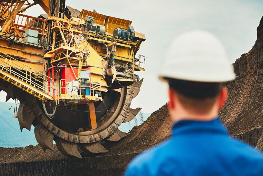
How to Use Drone Survey Data on Your Mine
How to Use Drone Survey Data on Your Quarry
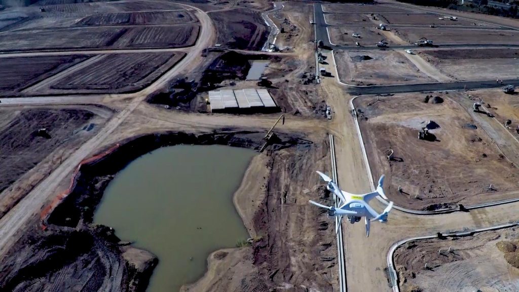
How to Use Drone Survey Data on Your Construction Site
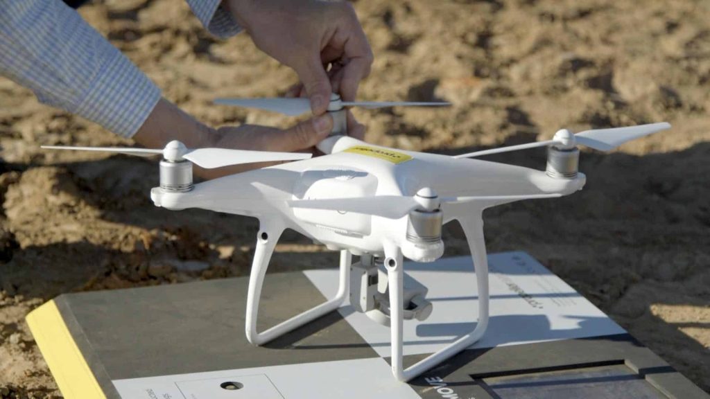
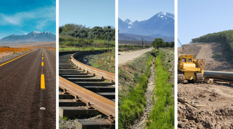
How to Collect Quality Drone Data – Part 4: Long Corridors
How to Use Drone Data to Improve Landfill Performance
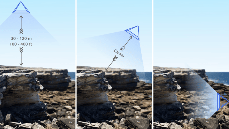
How to Collect Quality Drone Data—Part 3: Walls, Faces, and Overhangs
Local Grid Explained: How Propeller Can Help You Deliver Your Site Data in Local Coordinates
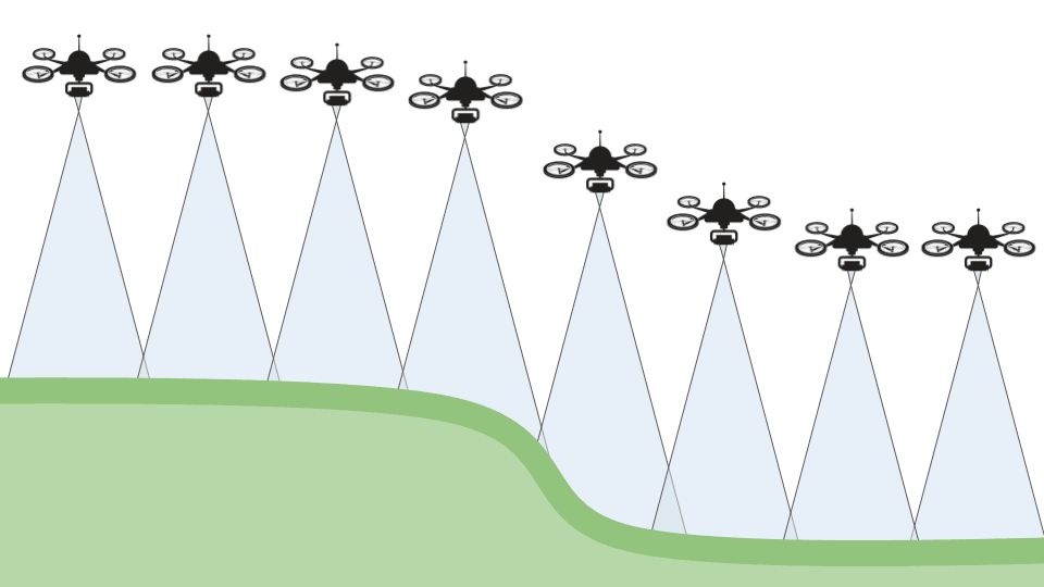
How Do Drones Collect Quality Data – Part Two
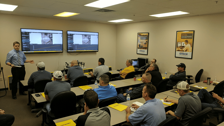
Building the Network of SITECH Partners Across the Globe
Previous
1
…
11
12
13
14
15
Next
Menu