Earthwork teams are making decisions every day that affect schedules, margins, and safety. But too many are still doing it blind, relying on manual surveys, paper logs, and gut feel to track progress on sites that move fast and cost more.
Propeller changes that. From the field to the office to the C-suite, our platform gives every stakeholder one shared map with the real-time data they need to cut costs, prevent rework, and prove progress.
In our Earthwork Report, we surveyed hundreds of professionals across construction, aggregates, mining, and waste management to understand what drives performance on site. One finding stood out: 63% of construction professionals said “material moved” was their most important metric, up from just 28% two years earlier. More teams are being measured by what they can prove, not just what they estimate.
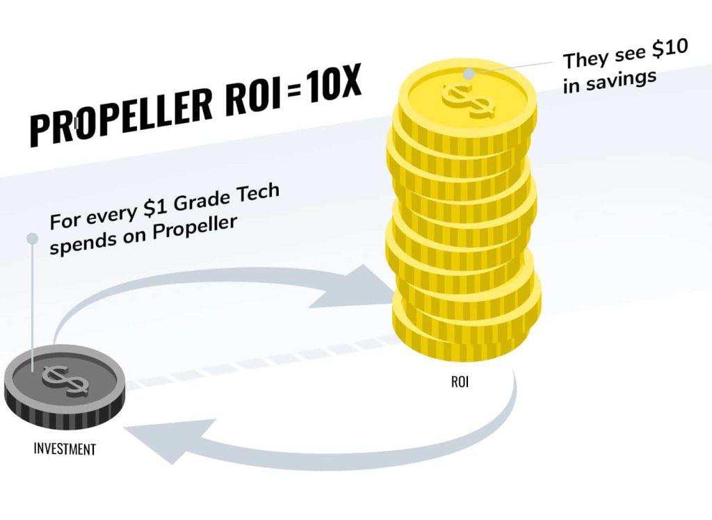
The benefits of construction progress tracking range far and wide, and save our customers 10x their investment (if not more).
Check out the video below to see how Propeller’s progress tracking works. Then read on to hear how it delivers the kind of value that makes investment a no-brainer.
Staying on time, under budget, without the guesswork
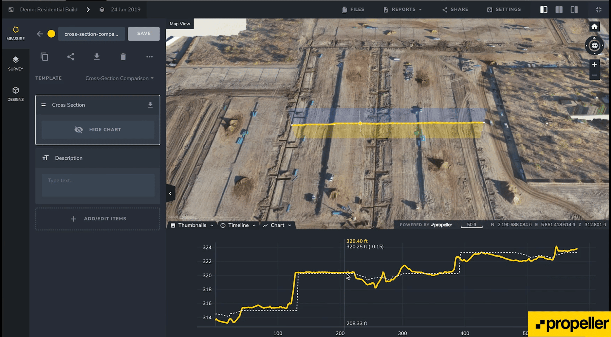
Import your design surface in seconds, then run a cut-fill comparison to see exactly where you stand against plan. The Timeline feature lets you scroll through every capture so you can prove what moved, when, and how much.
Need to check a specific window of work? Overlay any two survey dates and get a clear picture of cut/fill across the entire site. Or zoom into a polygon to isolate a specific area of interest.
When everyone works from the same verified surface, there’s no debate about work rate or billing. Just clarity.
Protect your margins before disputes start
Billing disputes usually come down to one question: how much dirt actually moved? With Propeller, that answer is always documented, timestamped and accurate within 1/10 ft (3 cm).
Use the Timeline to compare any two survey captures. Use the Polygon tool to isolate a specific area. Use the Line tool to review the elevation history of any point on site. The data is there when you need it, whether that’s for a subcontractor payment, a client audit, or a dispute you never saw coming.
Propeller takes the guesswork out of conflicts by giving every stakeholder access to the same verified record of work.
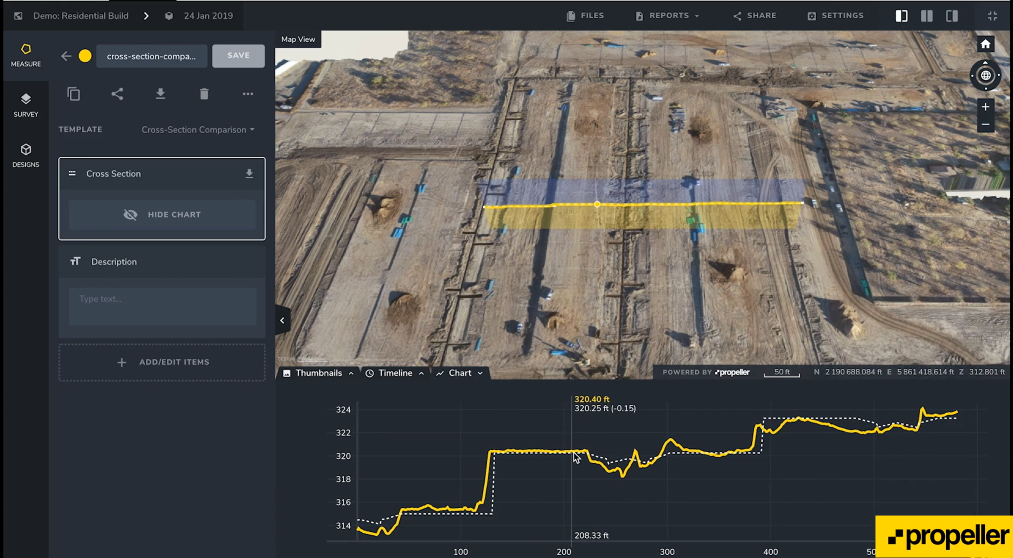
Color-coded elevations give you an instant overview of where material has moved and how much. No interpretation required.
Give clients visibility without giving up control
Cut-fill maps show exactly what’s been done and what’s left. No estimates. No reconciliation headaches. Just a clear, data-backed record of progress that everyone can see.
Add as many users as your project needs, then share with external stakeholders via View-only access. They get a live snapshot of site progress over time, without access to your measurements, exports, or internal data.
When clients are working from the same map you are, sign-offs happen faster and trust compounds over time.
Win better bids with accurate ground truth
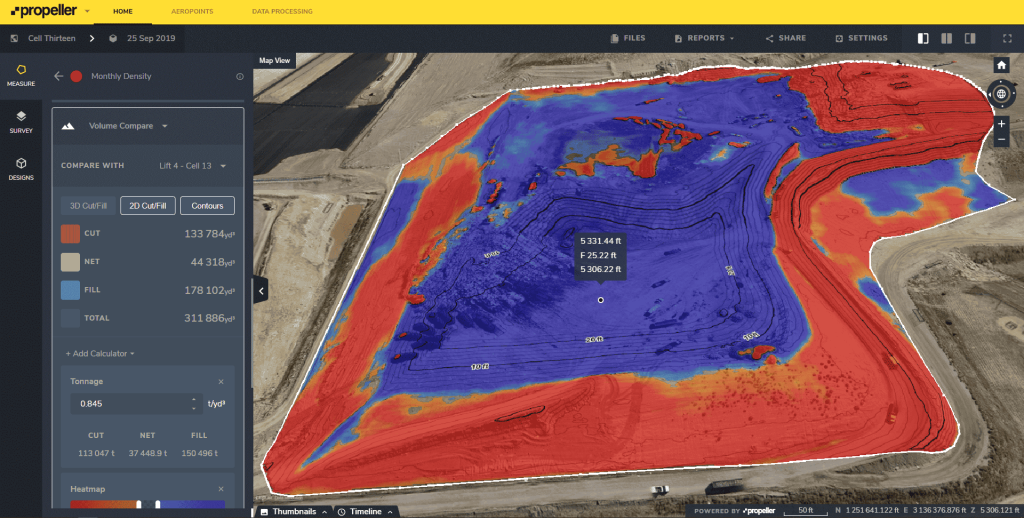
Whether you’re bidding or breaking ground, you need to know what you’re actually working with. Capture an initial survey, import your final grade, and compare the two so your scope reflects reality, not assumptions.
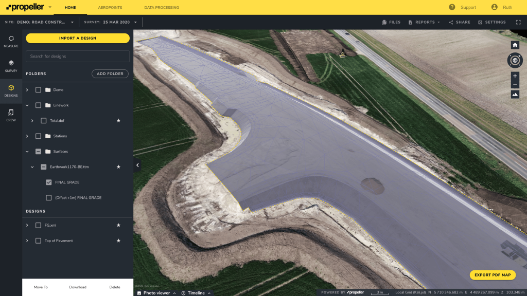
Import a design surface in a few clicks and calculate the true earthwork volume before a single machine moves. That accuracy upfront protects your margins throughout the job.
In our Earthwork Report, when we asked what motivated construction professionals most, “getting the job done right” came out on top. Propeller gives teams the data to do exactly that, from the first bid to the final sign-off.
One map, every stakeholder
Propeller doesn’t require a GIS specialist to get value out of it. Three tools, Point, Line, and Polygon, are all it takes for anyone on your team to measure, report, and share site data from anywhere.
Crew links let you push interactive site maps to any mobile device. No app download, no training required. And because access is fully permission-based, you decide who sees what, inside your organization and out.
From our experience working with customers across construction, mining, aggregates, and waste management, we’ve seen skepticism about progress tracking turn to full buy-in the moment teams start using real data to make real decisions. The technology pays for itself through more accurate bids, less rework, and fewer disputes.
TL;DR: Why teams trust Propeller for progress tracking
- Stay on schedule with real-time cut-fill tracking against your design surface
- Protect margins with timestamped, high-precision data that ends billing disputes
- Share live site progress with clients via View-only access, no data exposure
- Win better bids with accurate earthwork volumes before a machine moves
- Give every stakeholder one shared map with Crew links and mobile access
- Measure, report, and share from anywhere using Point, Line, and Polygon tools
When teams work from the same verified map, progress is something you prove, not something you estimate. Request a demo.