Not all drone cameras are built the same, and for site surveys and inspections, the specs really do matter. Here’s what to look for before you fly.

DirtMate Centimeter-level machine guidance and fleet telematics for earthmoving
AeroPoints High-accuracy ground points for faster, reliable surveys
Propeller CAD AI-powered earthworks design built directly on your real survey terrain
Drone & hardware integrations Connect Propeller with your existing tools seamlessly

Not all drone cameras are built the same, and for site surveys and inspections, the specs really do matter. Here’s what to look for before you fly.
Choose the wrong camera for a drone survey and you’ll know about it when the data comes back. Soft images, models that won’t stitch, accuracy that falls short of what the job requires. The camera is the first decision in your data pipeline, and it sets a physical ceiling on how good your maps and 3D models can be.
This guide covers the camera specifications that actually matter for site surveys and inspections, what each one does, and how to match your setup to what you need on the ground.
Start with ground sample distance (GSD). It’s the real-world size of a single pixel in your captured images, measured in centimetres per pixel. If your GSD is 3 cm, your map is accurate down to 3 cm and no better. For most aerial surveys, GSD typically ranges from under 1 cm/pixel to around 5 cm/pixel.
Your camera determines how much of that range you can actually reach.
The last four are locked in by the camera you chose before the flight. Getting them right means you can fly higher, work faster, and still hit your accuracy target.
Resolution is the total number of pixels the sensor captures, measured in megapixels. Commercial drone cameras range from roughly 12 MP to 50 MP and beyond. Higher resolution improves GSD at a given altitude, which means you can fly higher and still hit your accuracy requirements.
One trade-off worth knowing: pairing high megapixel counts with a small sensor can introduce diffraction, where light spreads across adjacent pixels and softens the overall image. Resolution alone doesn’t tell the full story.
| Altitude (m) | 12 MP | 20 MP | 35 MP | 50 MP |
|---|---|---|---|---|
| 60 m | 0.88 | 0.70 | 0.59 | 0.50 |
| 70 m | 1.02 | 0.82 | 0.68 | 0.58 |
| 80 m | 1.17 | 0.94 | 0.78 | 0.67 |
| 90 m | 1.32 | 1.06 | 0.88 | 0.75 |
| 100 m | 1.46 | 1.17 | 0.98 | 0.84 |
| 110 m | 1.61 | 1.29 | 1.08 | 0.92 |
| 120 m | 1.76 | 1.41 | 1.17 | 1.00 |
GSD values in cm/pixel. Based on a 15mm lens with a 2/3″ sensor.
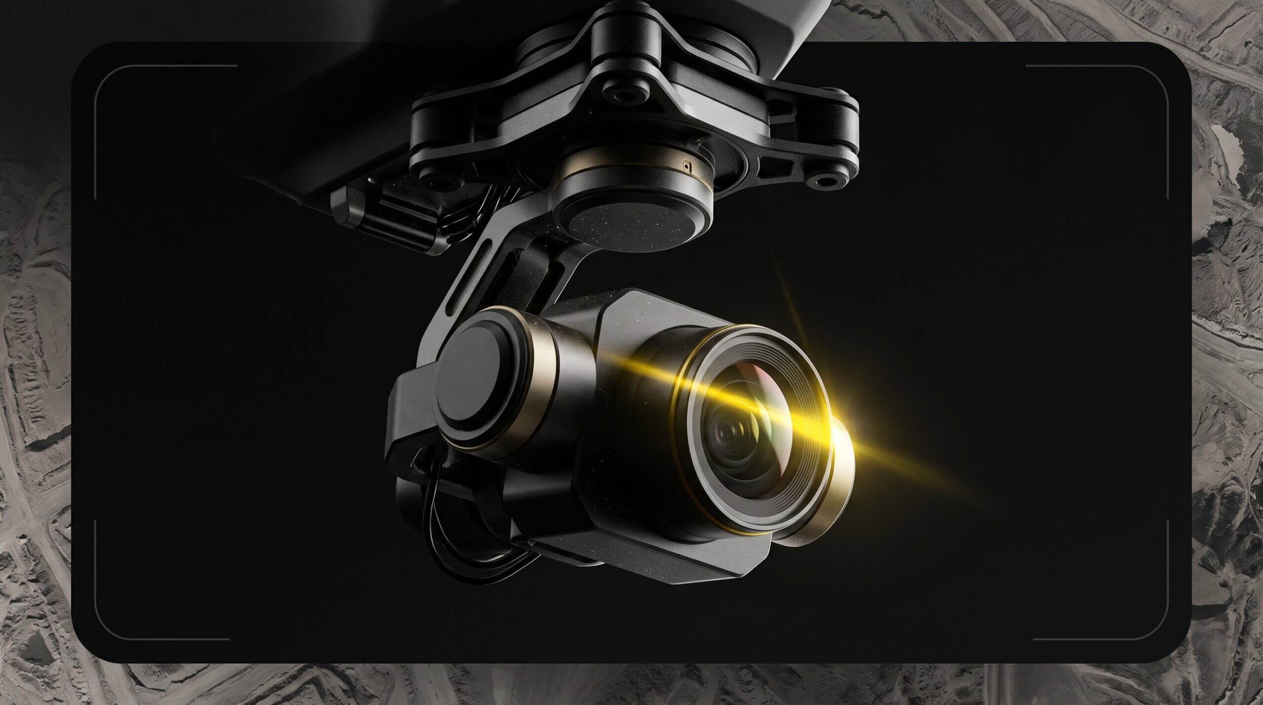
Sensors come in several standard sizes: 2/3″, 1″, Micro Four Thirds, APS-C, and full frame. Larger sensors gather more light at the same resolution, which translates to better image quality in variable conditions and shorter exposure times. Smaller sensors need longer exposures to achieve the same result, which increases the chance of motion blur at speed.
Aperture controls how much light hits the sensor during each exposure. Many drone cameras use a fixed aperture, often around f/2, which works well close to the ground but can struggle at greater altitudes. Without the ability to adjust aperture, the camera compensates by extending exposure time, which introduces blur in fast-moving situations.
Variable aperture gives you control over lighting conditions across the site and helps you manage the diffraction trade-off. Very small apertures on high-resolution sensors can reduce overall image sharpness, so being able to dial this in matters.
Sharp images with strong pixel contrast are what photogrammetry software uses to build accurate 3D models. Soft imagery limits what the processing can produce, regardless of how good the rest of your workflow is.
Focal length determines field of view. For survey work, shorter focal lengths in the 15–35mm equivalent range are most common. They give you broader coverage per pass and reliable focus at typical survey altitudes. Longer focal lengths narrow your field of view and are better suited to inspection work, where you need detail on a specific surface rather than broad area coverage.
Accurate site surveys depend on consistent, sharp, high-contrast images that photogrammetry software can stitch reliably into a 3D model. Here’s what matters most.
For teams regularly surveying large construction sites, landfills, quarries, or earthworks projects, a global shutter is the upgrade that pays off most directly in output quality. Rolling shutter distortion at speed causes visible warping in your maps and reduces the accuracy of your volume measurements.
Inspection work has different priorities. You need detail on specific surfaces, often close up, rather than broad area coverage. That changes what you should optimise for.
Gimbal articulation is the spec most often overlooked until it’s too late. If the job requires capturing a surface from beneath, verify full gimbal range before committing to a platform.
| Specification | Surveys | Inspections |
|---|---|---|
| Resolution | High. Improves GSD and allows higher flight altitudes | High. Captures fine surface detail |
| Sensor size | Larger is better. Consistent quality across variable conditions | Larger is better. Improves 3D model contrast and quality |
| Shutter type | Mechanical (global) shutter. Critical for accuracy at speed | Electronic shutter is usually acceptable at slower speeds |
| Aperture | Variable preferred. Matches changing light conditions on site | Variable helpful, less critical at slower speeds |
| Focal length | Short (15–35mm). Wider coverage, reliable focus at altitude | Moderate (35mm). Surface detail without distortion |
| Autofocus | Less critical. At survey altitude, most subjects are in infinity focus | Important. Fast and accurate at close range |
| Gimbal articulation | Standard nadir (downward) is sufficient for most survey work | Full articulation required for undersides and upward-facing surfaces |
We’re happy to show you how Propeller can power your worksite, and boost productivity.