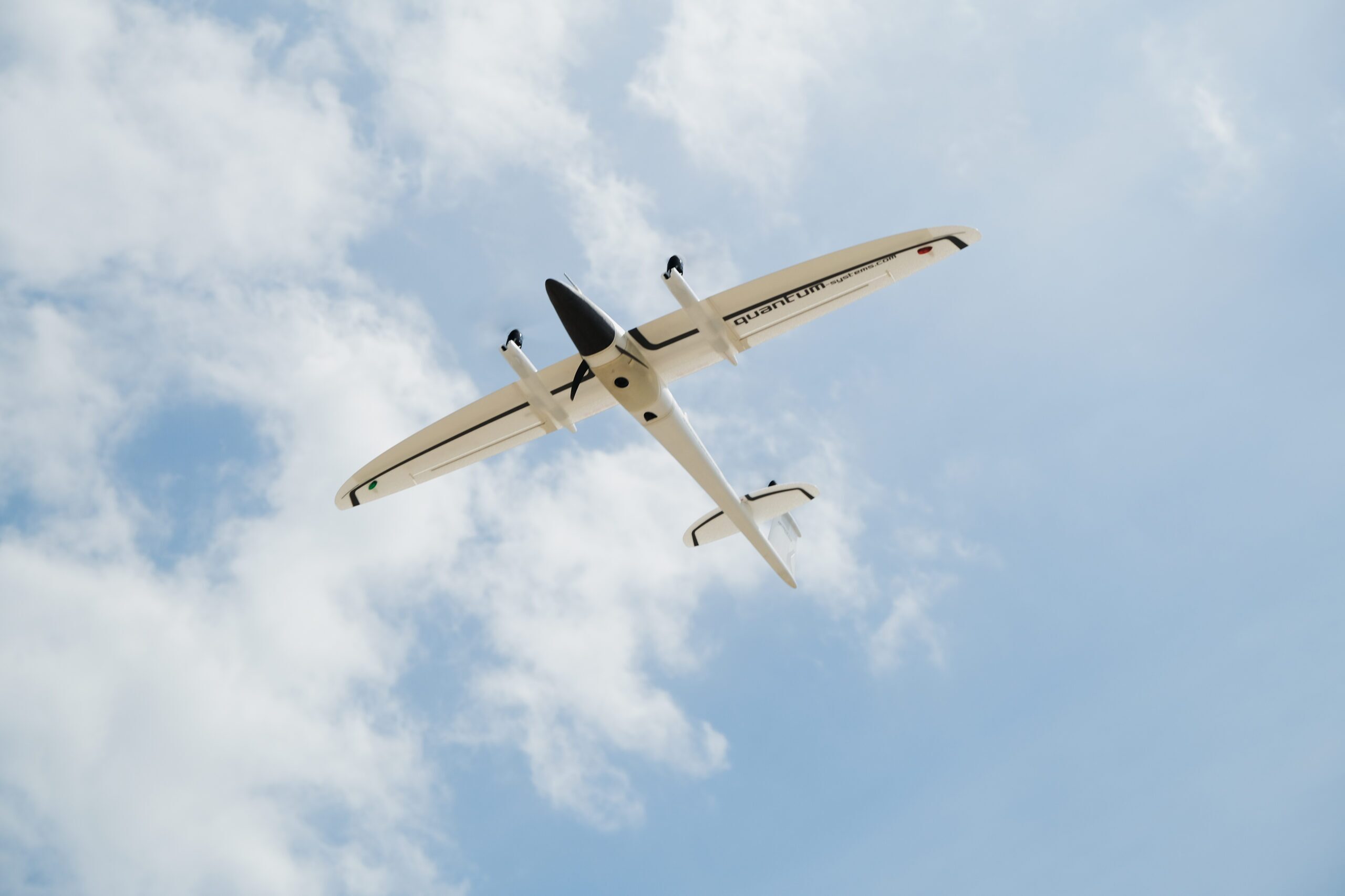
Quantum Systems Trinity F90+ with Propeller PPK
Complete large-scale surveys with survey-grade data quality at a fraction of the time and cost.
The eVTOL fixed-wing mapping drone for professionals
The Quantum-Systems Trinity F90+ is a fixed-wing drone built with endurance in mind:
- 90+ minutes of flight time
- Wide range of high-precision sensors
- PPK including Quantum-System iBase ground reference station powered by u-blox
- Powerful motors for even more reserves in all situations
- 30 mph optimal cruise speed
- Live Air Traffic (ADS-B) included with the QBase mission planning app
Why fly Trinity F90+?
The Quantum-Systems Trinity F90+ drone is a fixed-wing drone capable of flying much longer (90 minutes) than a quadcopter.
Benefits of Propeller PPK with Trinity F90+
Map longer
The ability to switch to gliding mode enables the Trinity F90+ to directly benefit from an enhanced long-range capability.
Map larger
With Propeller PPK combined with Quantum-Systems Trinity F90+, you can quickly and efficiently map large topographical surveys in a shorter time. The larger the area to be covered, the better the match the Trinity F90+ will be for you.
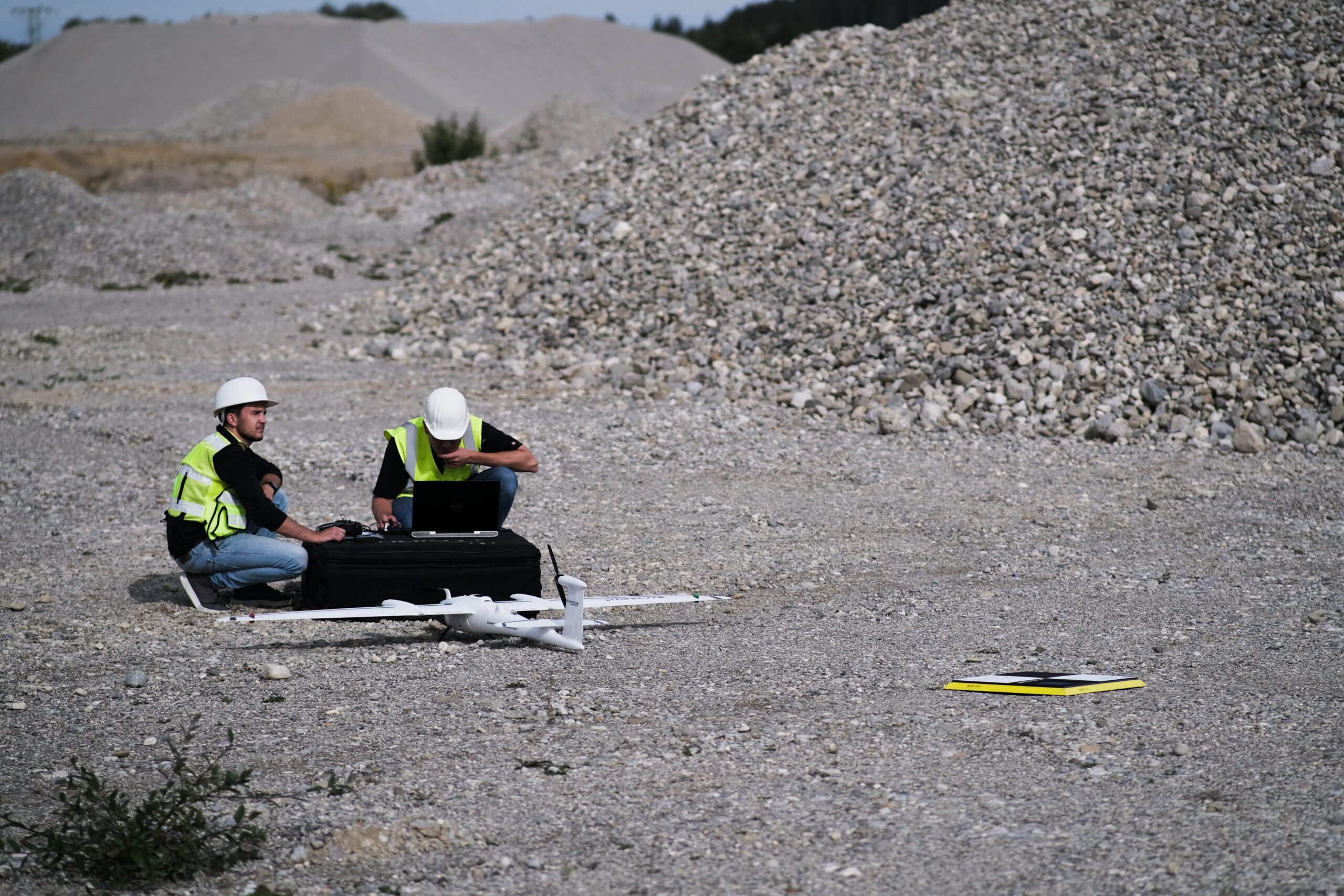
Easy and safe handling
A push of a button is enough for the UAV to do its job. The remote control has a clean layout without confusing switches and levers. The Trinity F90+ and the remote controller work together seamlessly to get your job done automatically, while still providing emergency override capabilities.
Reduce field time
Propeller PPK with Quantum-Systems Trinity F90+ is an automated drone data processing solution ideal for large sites due to its longer flight time when compared to other non-fixed-wing drones.

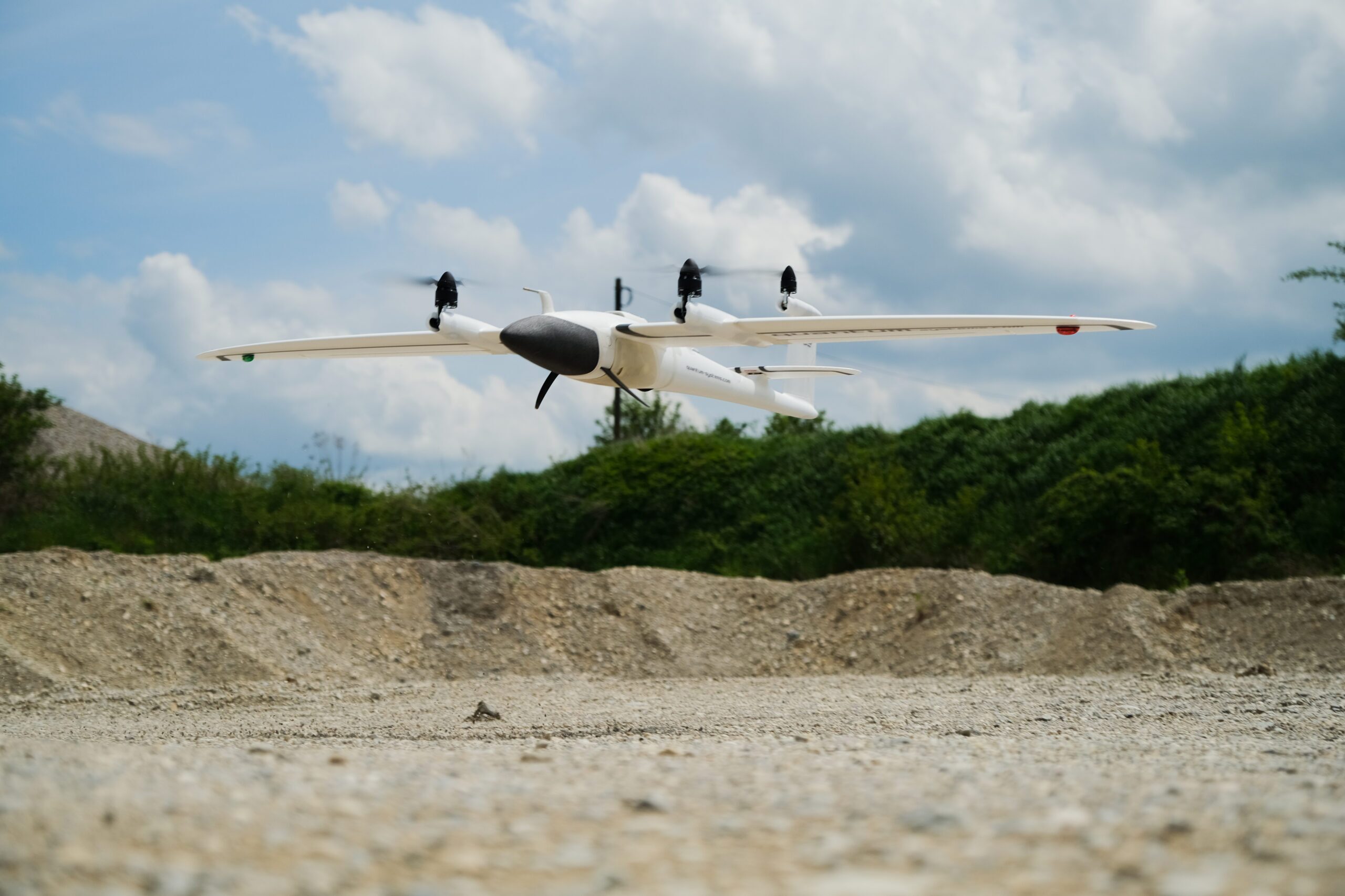
Take off and land almost anywhere
It can take off and land vertically while also being able to fly longer than most other drones. The fixed-wing design also helps mitigate any adverse weather like strong winds, making it a more reliable option.
Maximize ground control
Propeller PPK requires just one AeroPoint as a smart ground control point to effectively process drone data and deliver a survey-grade 3D map of the worksite. Combined with the Trinity F90+ mission planning, this means a much less complicated ground control than you might be used to.
Propeller PPK is changing the landscape of site surveying
Survey sites safely and accurately—in less time. Propeller PPK combined with Quantum-Systems Trinity F90+ is an automated drone data processing solution that helps you map more ground, more accurately than ever before.