Propeller PPK with WingtraOne
Complete large-scale surveys with survey-grade data quality at a fraction of the time and cost.
Map faster, larger with Wingtra One
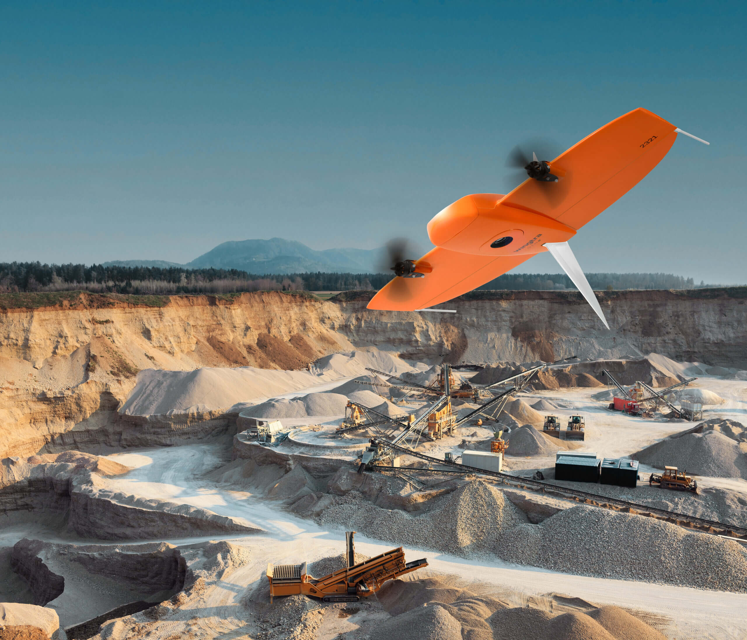
Meet WingtraOne, a Swiss-made VTOL (vertical take-off and landing) drone offering the best functionality from multicopter and fixed-wing drones.
WingtraOne takes off and lands like a multicopter—perfect for confined areas with limited space. In the air, it flies like a fixed-wing drone, with the flight speed and image quality to facilitate high-efficiency, large-scale mapping.
Why fly the WingtraOne?
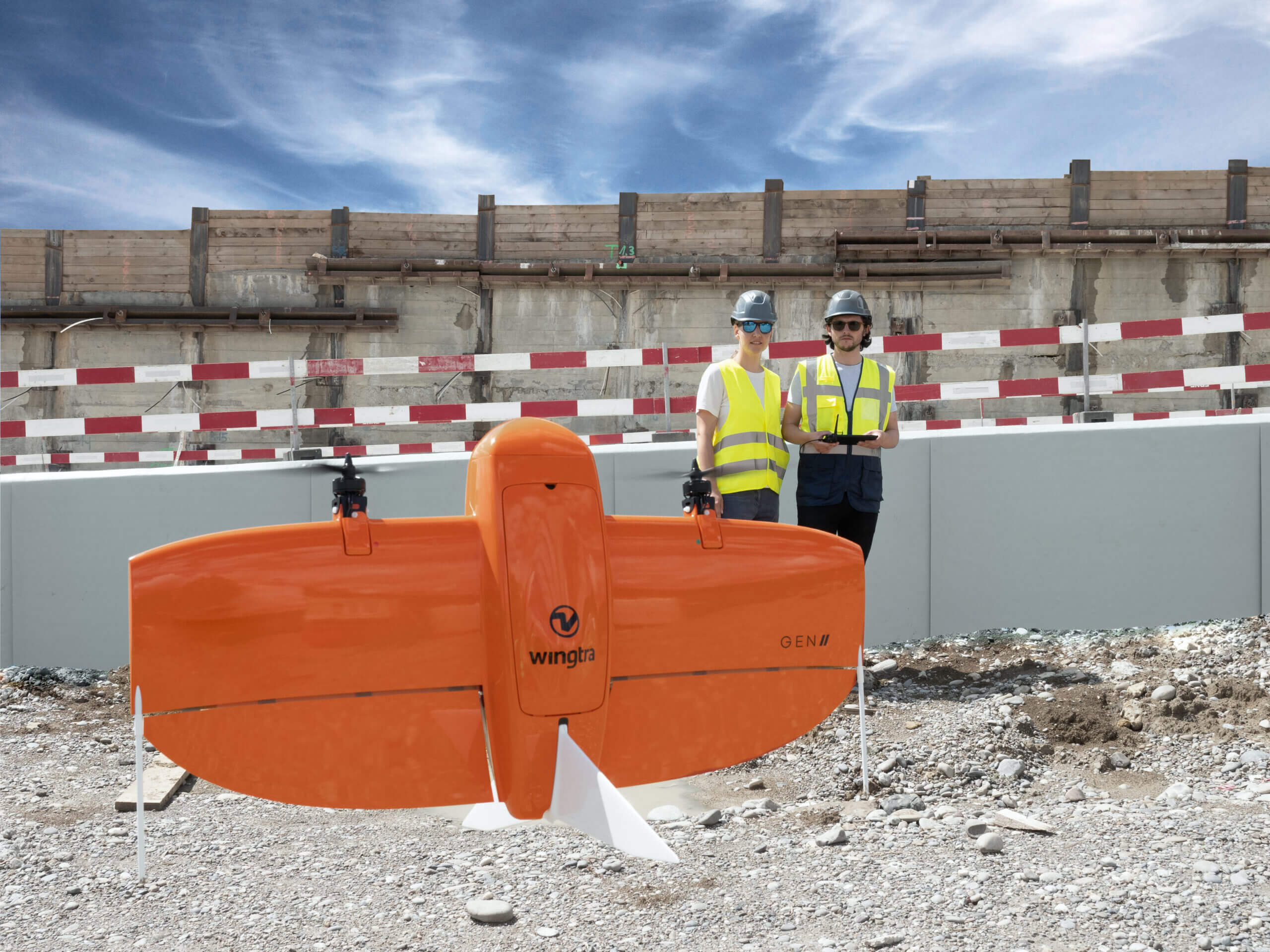
With its durable fiberglass design and fully autonomous vertical take-off and landing, WingtraOne is ideal for fast and efficient large-scale drone surveying.
If flight speed, image resolution, and unparalleled accuracy top your priority list, you can’t go wrong with Propeller PPK and WingtraOne.
Benefits of Propeller PPK with WingtraOne
Map faster
Collect data up to eight times faster than multicopter drones, thanks to WingtraOne’s unique set of features such as the fast, efficient flight speed of 36 mph (16 m/s) and up to 59 min of flight time.
Map larger
Complete large project surveys that were previously impossible with a drone—all in just a few hours.

Take off and land almost anywhere
Whether in confined spaces or on rough terrain, the WingtraOne can effectively fly sites that other drones simply can’t.
Unparalleled data quality
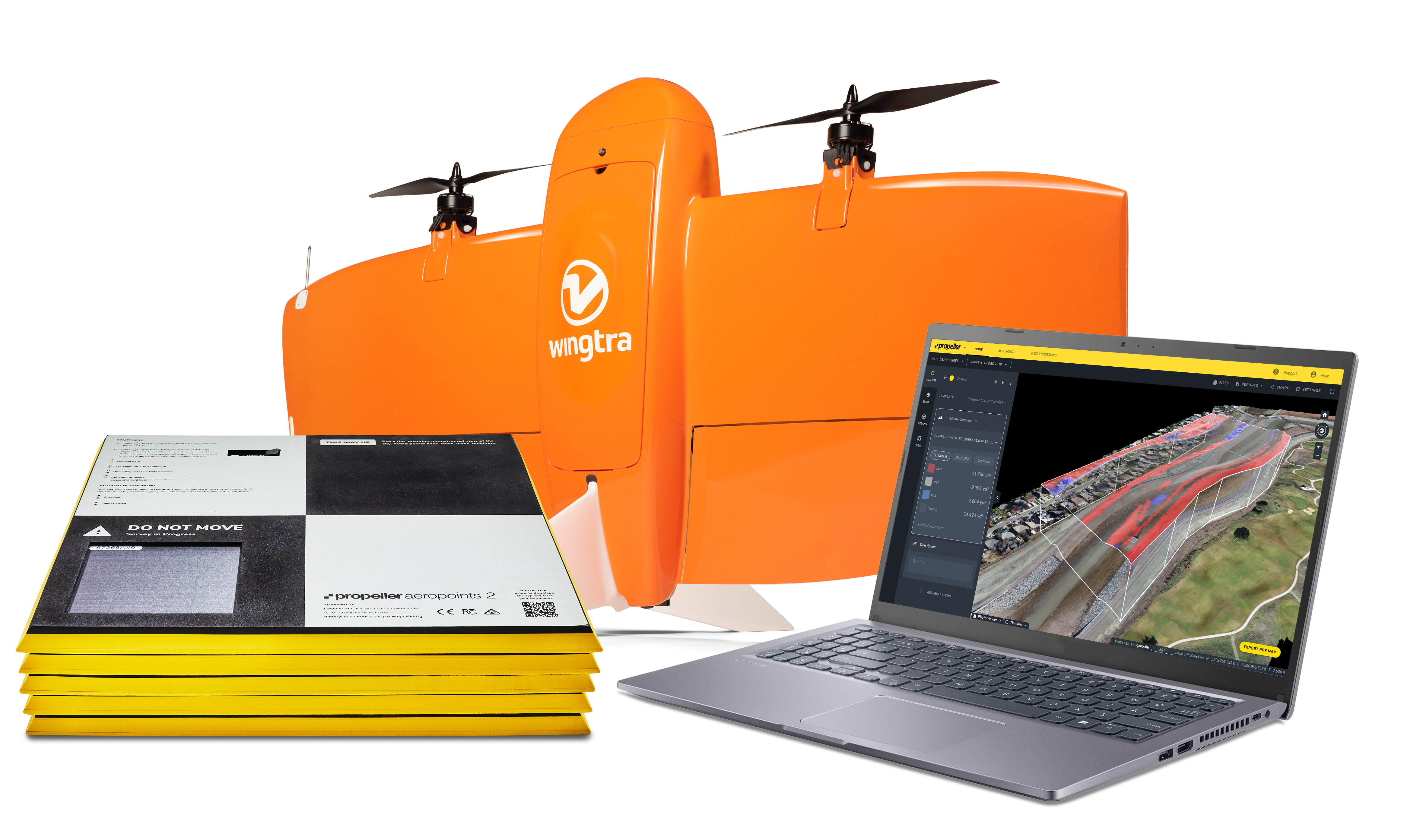
Capture high-precision data with ease. The 42 MP camera delivers ground detail down to 0.4 in (0.7 cm), while the integrated PPK receiver ensures accuracy down to 0.4 in (1 cm) horizontal and 1.2 in (3 cm) vertical.
Cut costs
Faster data collection and better coverage mean fewer people in the field for less time.
Reduce field time
Ditch complex surveying equipment and minimize the number of hours in the field by using AeroPoints, the smart alternative to ground control. Just lay out an AeroPoint, press a button, and let Propeller PPK and WingtraOne do the rest.
Propeller PPK is changing the landscape of site surveying
Survey sites safely and accurately—with less time and cost. Propeller PPK combined with WingtraOne is an automated drone data processing solution that harmonizes Propeller software and VTOL WingtraOne drone hardware to help you map more ground, more accurately than ever before.