Construction project managers (PMs) know all too well that construction project management can be exceptionally complicated. From the interplay between field and office, to unforeseen project delays, PMs need to keep all stakeholders informed and satisfied that the work is progressing as it should.
Fortunately, PMs now have cutting-edge tech at their fingertips. Digital earthwork designs and high-accuracy drone surveys have made it easier to keep projects on track and on budget.
Whether you’re looking to enhance your skills as a PM or empower your team with better tools, read on to learn three ways to leverage earthwork designs and surveys for more effective project management.
#1: Start off on the right foot
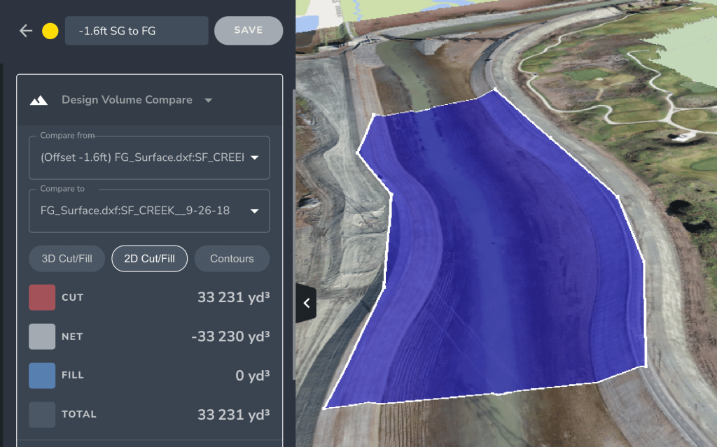
Even the best designs are only as good as your team’s ability to interpret and implement them. Accurate design-to-design comparison tools enable you to better plan work and measure progress, starting as early as pre-bid measurements and progressing to final grade completion.
Balancing competitive estimates with profitability requires knowledge and skill, and you can’t perfect your bids without accurate data. Using design-to-design measurement tools, estimators can better use their data to produce high-quality estimates and win more bids. Submitting an accurate bid before commencing work ensures that you aren’t left scrambling to compensate for a deficit later in the project.
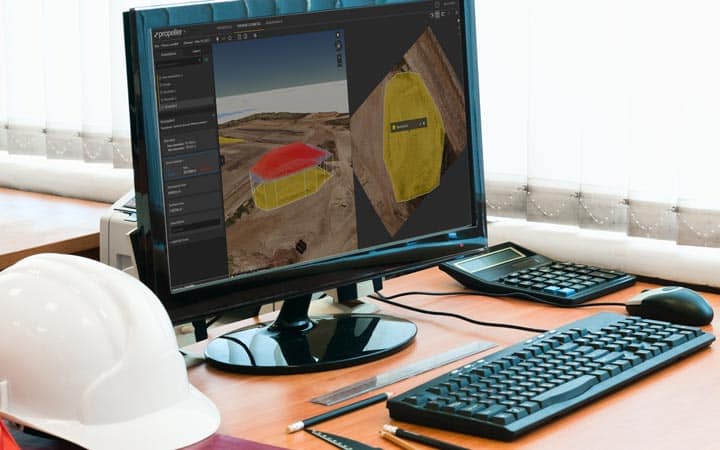
With the right data, you can also create a risk management plan from day 1. Using foresight and 3D models created from drone data, you can mitigate risk and prepare for potential challenges you may face at each phase of construction.
Pro Tip: Measure the volume of material required between design grades to ensure high accuracy and reliability in your material and project estimates.
#2: Reduce margin of error
Accurate data makes for successful projects. With frequent high-accuracy drone surveys, you can reduce the margin of error on your worksite, helping to prevent change orders and avoid costly rework.
Rework costs can be sky-high. The construction industry lost $1.8 trillion globally due to inaccurate data in 2020 alone. Unreliable data was to blame for 14% of all avoidable rework, and one-third of poor project management decisions onsite were made because of bad intel.
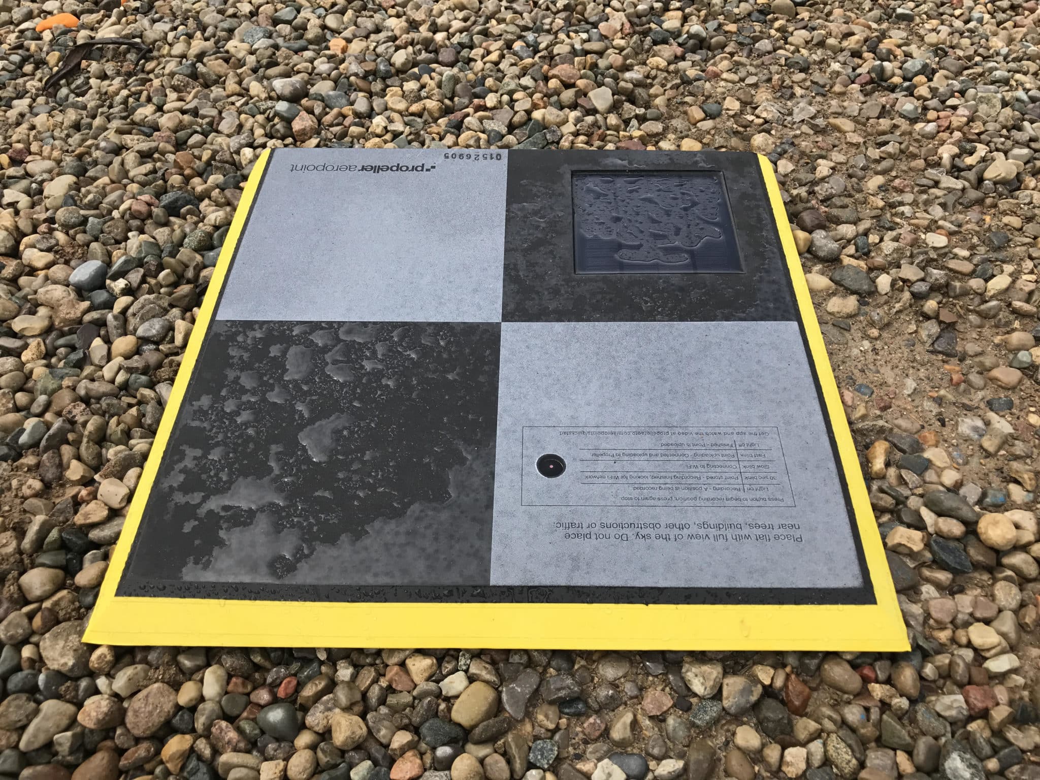
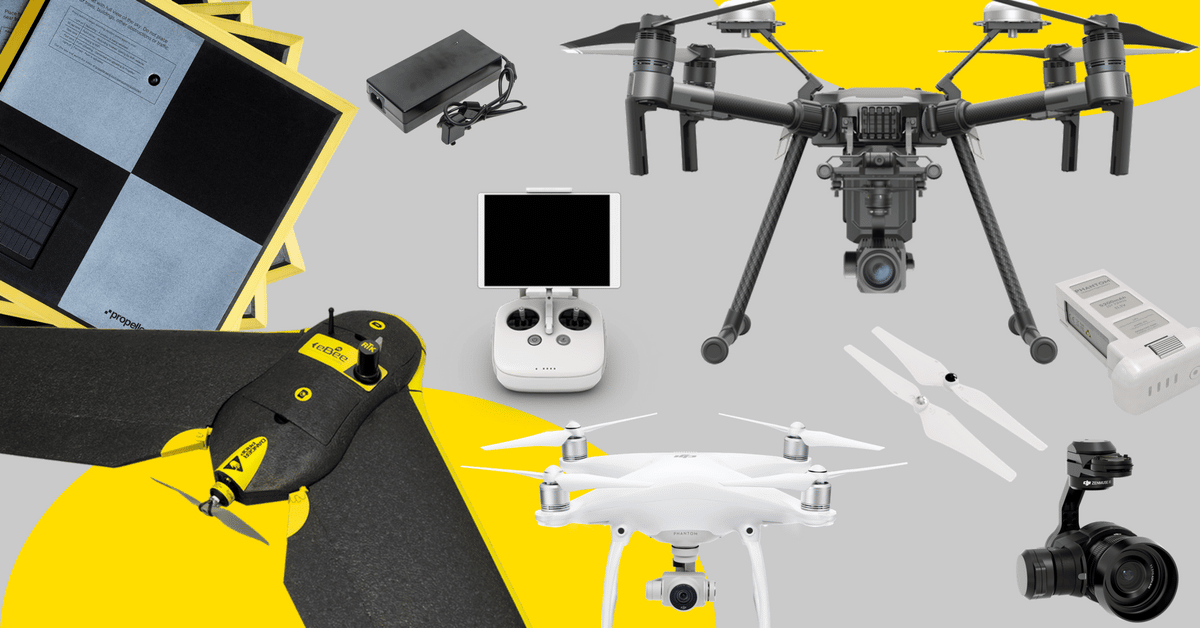
Pro Tip: Accurate surface-to-design comparisons and 3D site surveys make it easy to keep track of progress and compare it to what’s happening on site with data you can trust. Drone technology has developed to the point where a base and rover are no longer necessary; drone surveys are accurate to 1/10 foot.
#3: Keep everyone informed
Inaccurate data isn’t the only project mistake impacting your bottom line. A 2018 study by PlanGrid and FMI found that rework caused by miscommunication cost the U.S. construction industry more than $31 billion—and that was before labor, material, and fuel prices reached their current levels.
Clear communication is essential to the success of any project. The best earthwork software offers cloud-based easy access to real-time data for anyone who needs it. Data silos can’t be eliminated without readily available access.
Establishing a single source of truth is one of the best ways to resolve disputes—and even prevent them in the first place. Miscommunications are greatly reduced when everyone looks at the same, easy-to-read 3D map and measurements.
Pro Tip: Establish a transparent communication hierarchy and make sure everyone involved knows who to ask for help and where to access the data they need to keep things running smoothly.