Why Propeller?
Industries
Construction
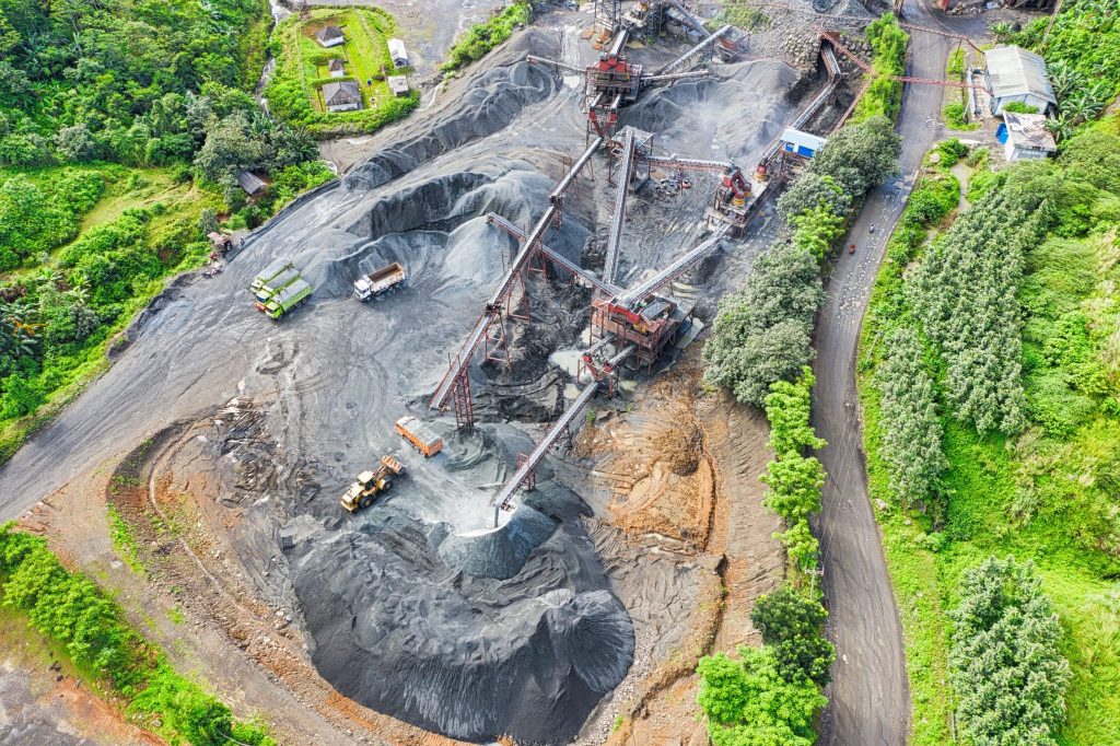
Aggregates + Mining
Waste Management
Survey + Engineering
Workflows
Map
Make data and survey processing simple.
Measure + Manage
Access insights and manage your site like never before.
PPK Drone Mapping
Capture, process, and correct survey-grade drone data.
People
Culture + Values
Founders + Board
Open roles
Solutions
PLATFORM
Propeller
A cloud-based workspace where you can map, measure, and manage your site.
Hardware
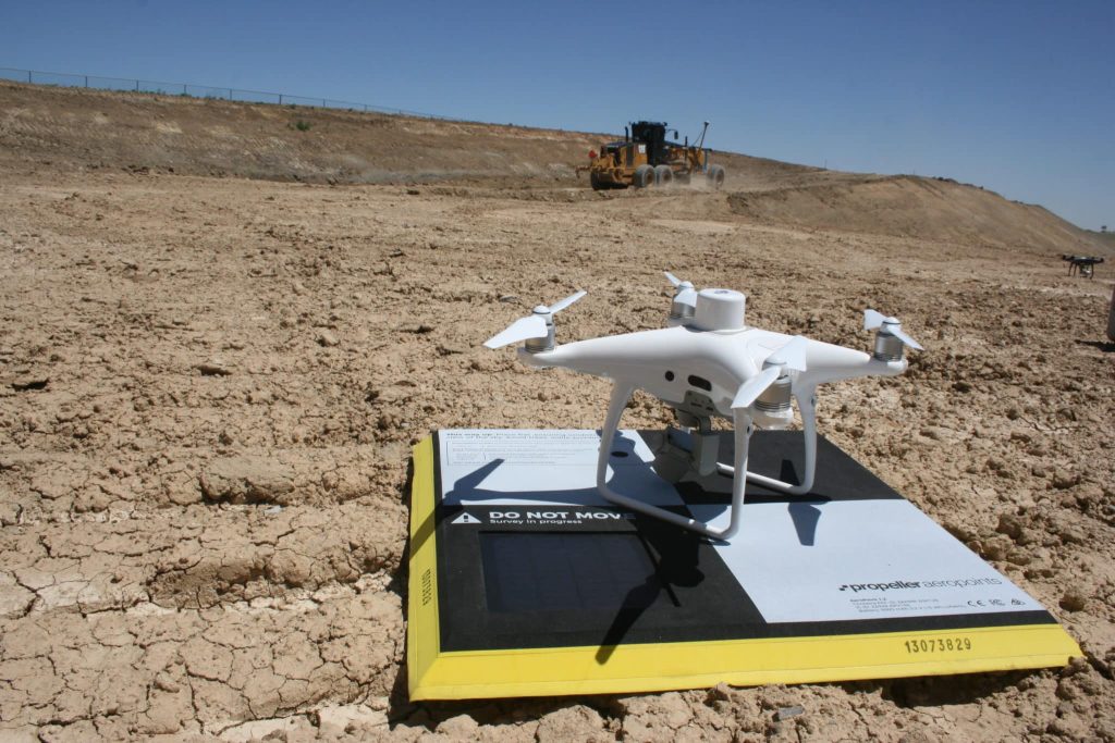
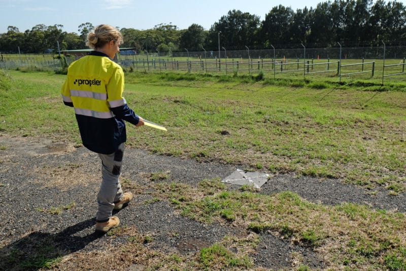
AeroPoints
DirtMate
Drones + Sensors
Data Services
Photogrammetry Processing
Lidar Processing
Resources
Connect
Training + Support
Learn
Customer Stories
Resource Center
Knowledge Base
English
Deutsch
Login
Contact us
Contact us
Login
Why Propeller?
Industries
Construction
Aggregates + Mining
Waste Management
Survey + Engineering
Workflows
Map
Make data and survey processing simple.
Measure + Manage
Access insights and manage your site like never before.
People
Culture + Values
Founders + Board
Open roles
Solutions
PLATFORM
Propeller
Hardware
AeroPoints
DirtMate
Drones + Sensors
Data Services
Photogrammetry Processing
Lidar Survey Processing
Resources
Connect
Training + Support
Learn
Customer Stories
Resource Center
English
Deutsch
Bracing for 2020: Past, Present, and Future of Drones in Construction
The Most Common Questions We Get From Propeller Customers Before They Commit
How Progress Tracking Makes Mine Reclamation Easier
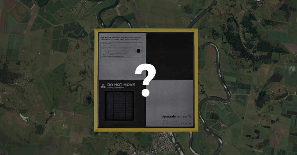
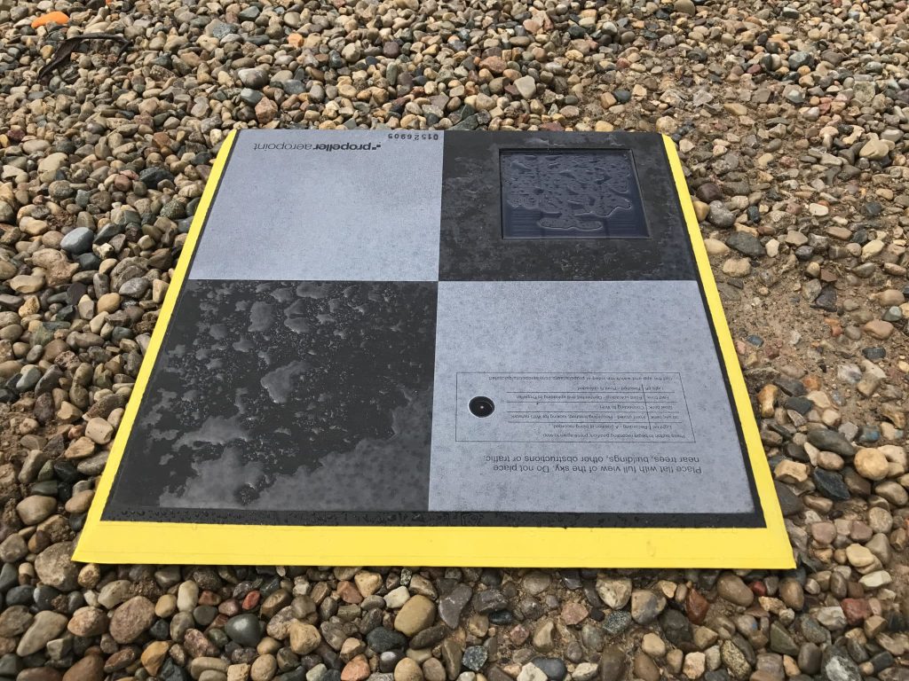
Keep Your Drone Data “Grounded” with Permanent Ground Control Points
Using Propeller, Drone Surveying for Smarter Pre-bid Topos at Phoenix-based Buesing Corp.
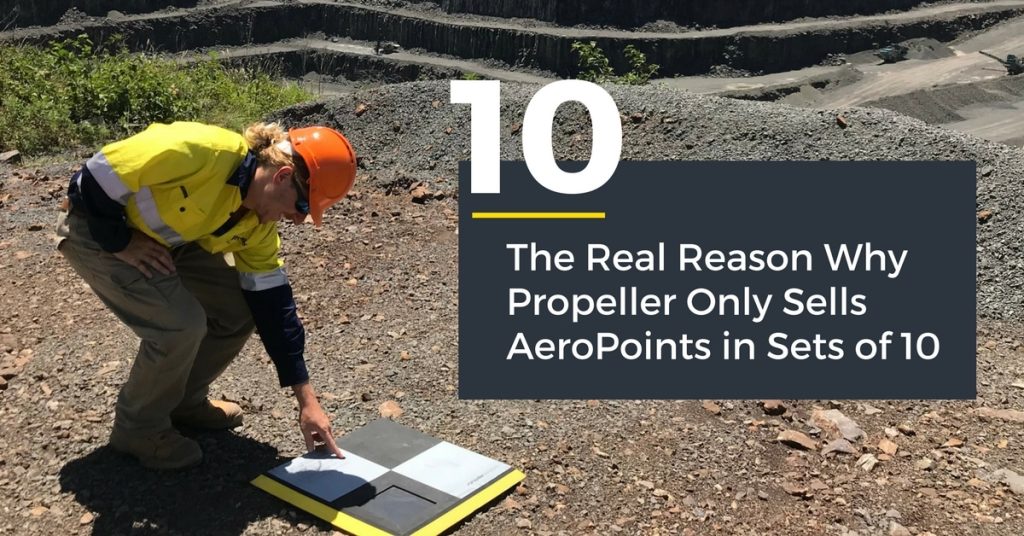
It’s Not What You Think: The Real Reason Why Propeller Only Sells AeroPoints in Sets of 10
How to Use AeroPoints to Survey a Large Site
AeroPoints Help NOAR Technologies Bring Accurate Ground Control to AEC
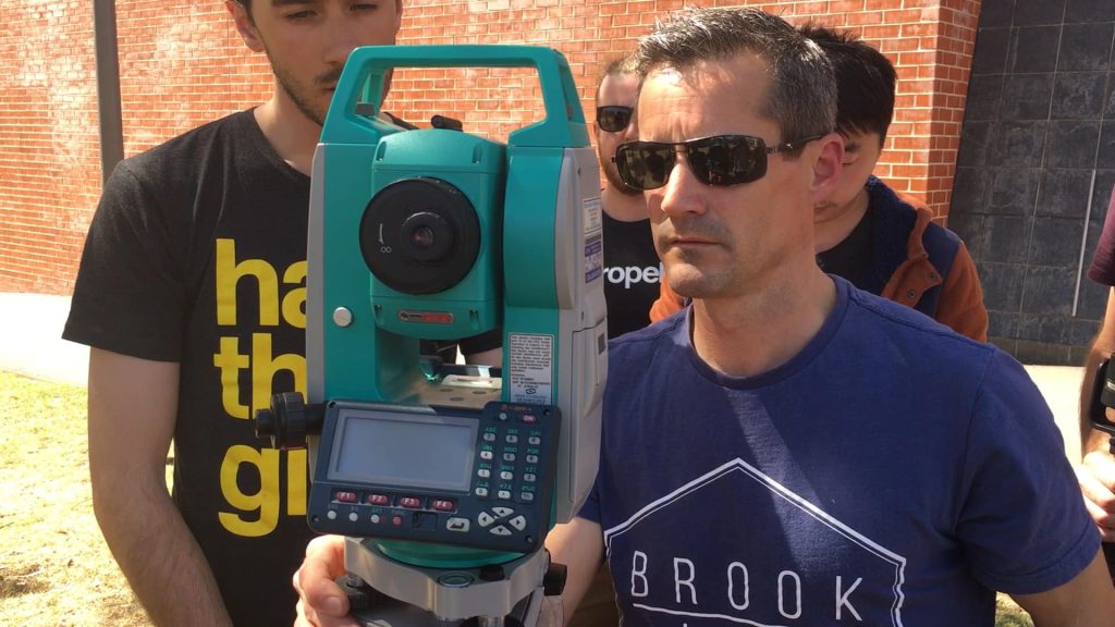
Relative Accuracy Test: AeroPoints vs. Total Station
Marking Semi-Permanent GCPs with AeroPoints and AeroStencils
Previous
1
2
3
4
5
6
Next
Menu