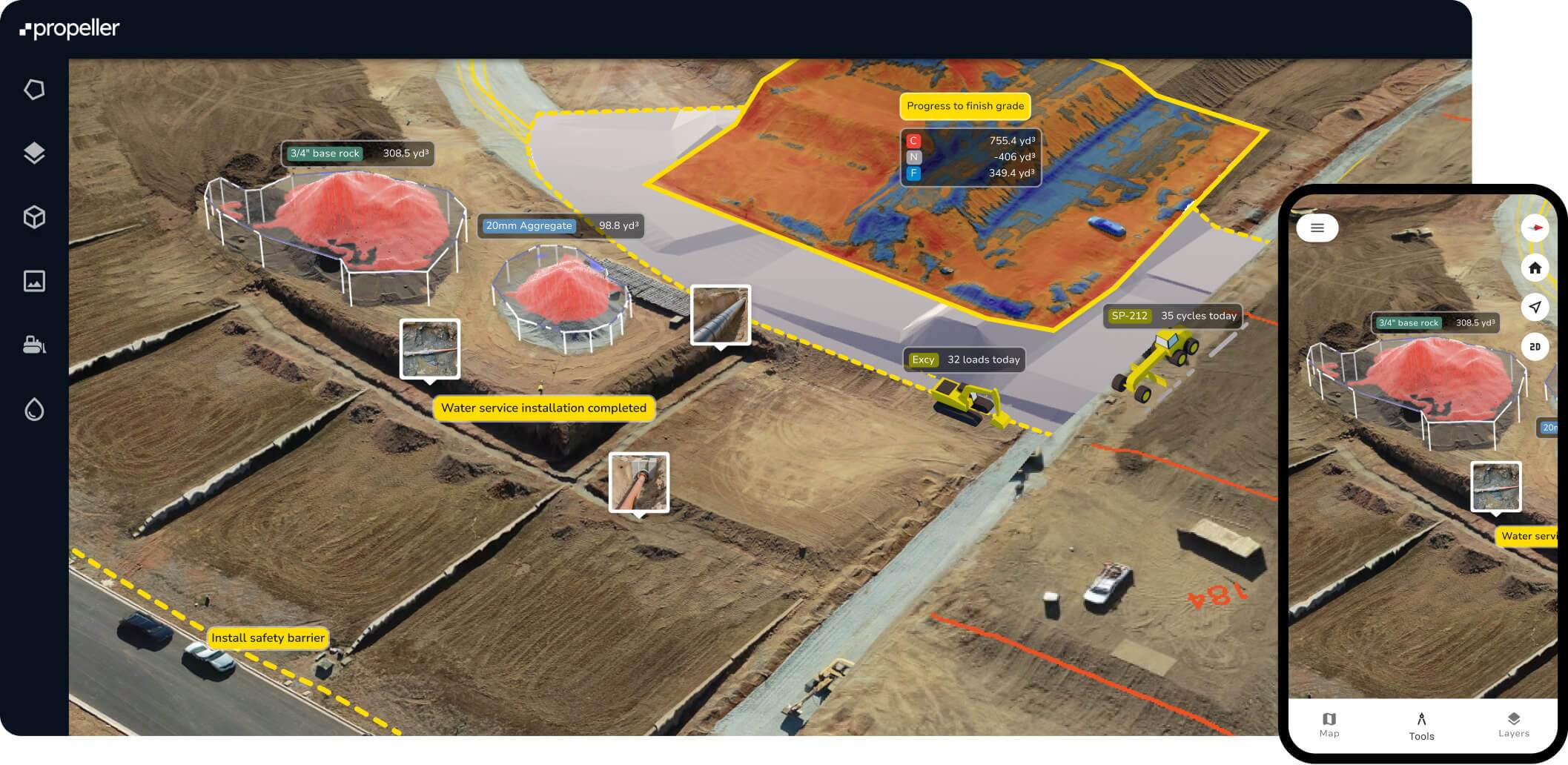
One platform. Every acre.
From earthworks to extraction, Propeller is the command center for your site.
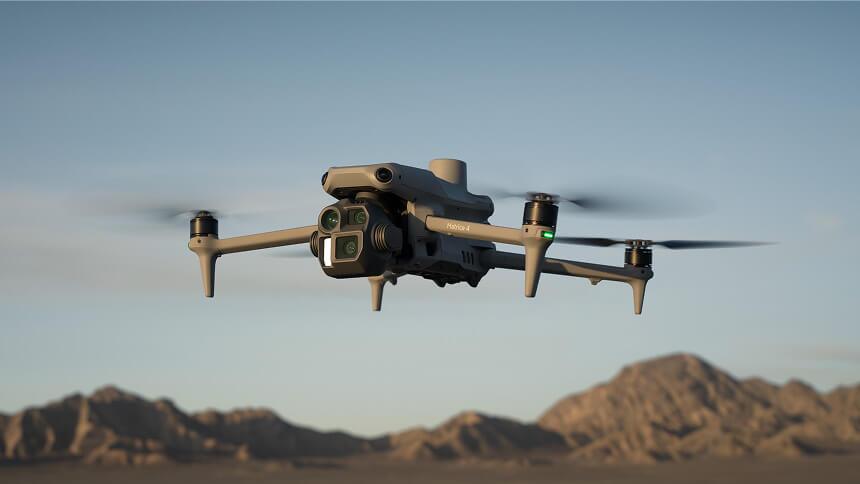
Propeller is the trusted aerial data platform powering progress across heavy civil construction, resource extraction, and environmental land management. Whether you’re moving dirt, managing a quarry, or monitoring a landfill, we turn complex drone data into a shared source of truth.
Now, your team can make better decisions, protect margins, and keep projects moving.
Why industry leaders choose Propeller
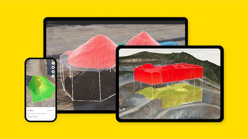
Total visibility
See your entire site in 3D from any device.
Reduced risk
Keep surveyors out of harm’s way with aerial workflows.
Faster turnarounds
Get survey-grade insights in hours, not weeks.
Defensible data
Visual proof for every yard moved and every dollar spent.
Solutions by industry
The right data for the way you work.
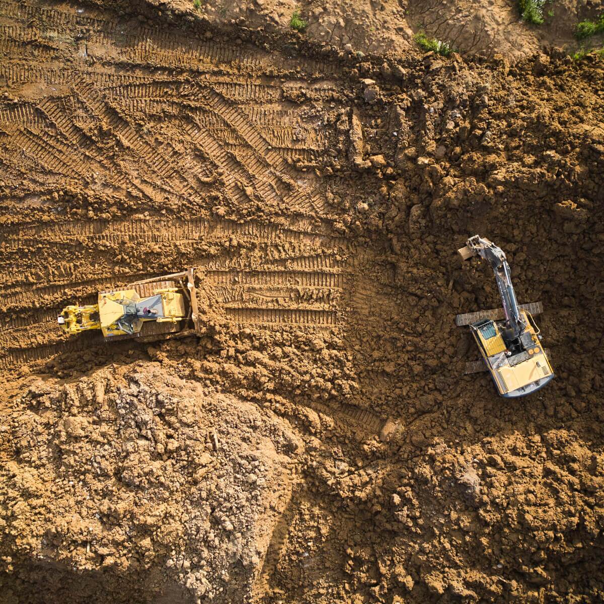
Civil construction and earthworks
Don’t wait until the end of the project to find out you’re off-grade. Use Propeller to track daily progress against your design files.
The Payoff: Catch grading errors early, validate subcontractor quantities, and stop paying to move the same dirt twice.
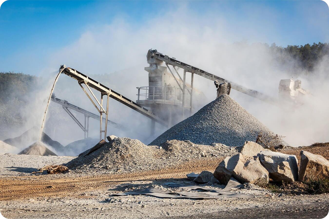
Aggregates and quarries
Manual stockpile measurements are dangerous and slow. Replace them with high-precision drone surveys that keep your team safe and your books accurate.
The Payoff: Get 2–4% more revenue from accurate sales tickets and optimize your haul roads for maximum throughput.
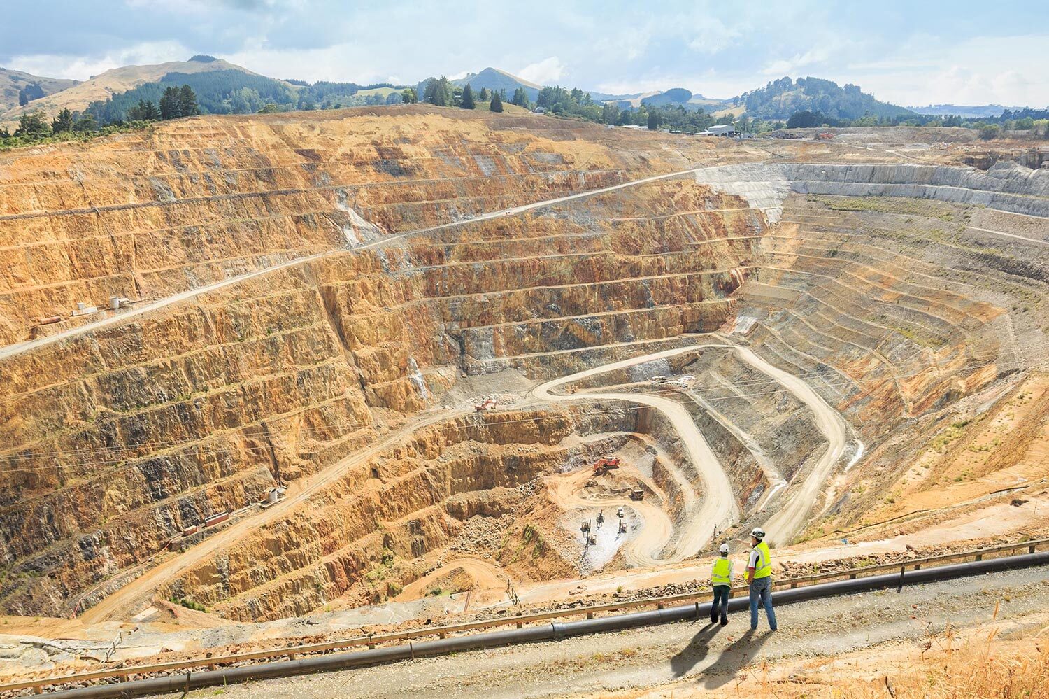
Mining
Manage the entire lifecycle of your mine with a visual timeline. Monitor volumes, track haul paths, and maintain environmental compliance with ease.
The Payoff: Reconcile planned vs. actual volumes and ensure your reclamation efforts meet regulatory standards.
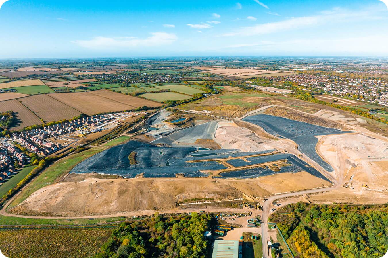
Waste Management
Every inch of a landfill is revenue. Use weekly drone flights to track compaction density and assess cell construction in real-time
The Payoff: Extend the lifespan of your site and provide airtight visual proof for regulatory audits.
Unlock the full workflow
Integrate your data capture, processing, and analysis workflows with Propeller.
Propeller
Connect your plans, field data, and team in one cloud-based hub—where everything comes together on a single, 3D map.
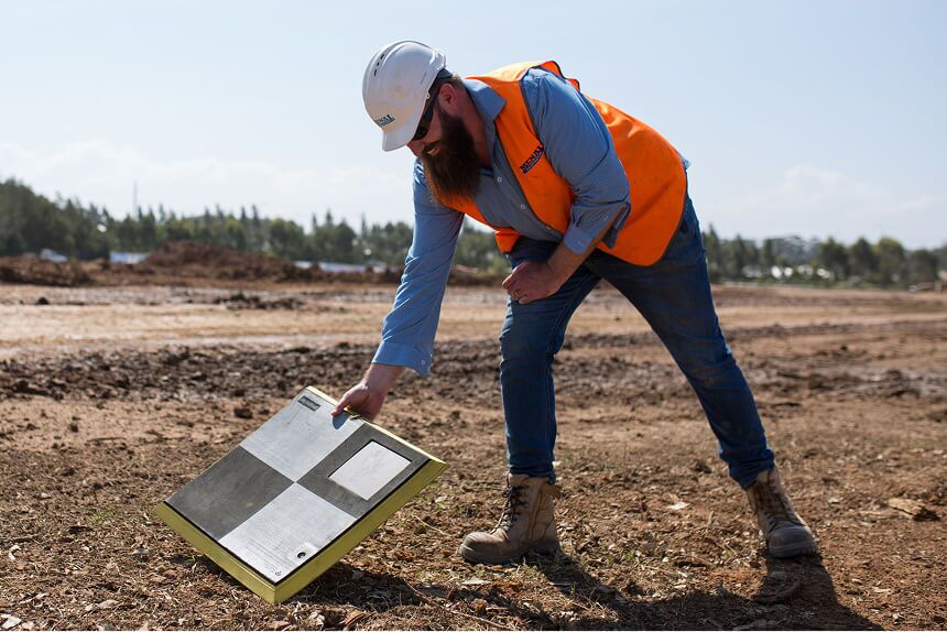
AeroPoints
Built for ease and trusted by experts, AeroPoints are the only smart ground control points, making survey-grade data simple.
Survey processing
Send photogrammetric and lidar surveys through Propeller’s processing pipeline for fast, hassle-free results—delivered automatically to the map.
Frequently Asked Questions
We support any industry that manages large-scale land operations.
Yes, we deliver 1/10ft (3cm) accuracy when using our AeroPoints.
We provide a permanent, time-stamped visual record of your site.
In the past, you had to wait days or weeks for a survey to tell you where you stood. Propeller turns your site into a digital command center by providing a shared “source of truth.” By flying your site regularly, you can compare your existing ground against the design model in near real-time. This helps you:
- Catch rework early: Spot grading errors before they become expensive fixes.
- Validate quantities: Get visual proof of subcontractor material movement for faster billing.
- Align the team: Everyone from the superintendent to the estimator sees the same data, reducing disputes and site-walk time.
Think of these as two different sets of eyes for your site. Photogrammetry uses high-resolution photos to create a 3D map. It’s the industry standard for open earthworks, quarries, and stockpiles where the ground is clearly visible. LiDAR (Light Detection and Ranging) uses laser pulses to “peek” through vegetation or tree canopies. We use photogrammetry for the majority of our high-precision mapping, but we recommend LiDAR when you need to see the “original ground” underneath forest cover or thick brush. We’ll help you choose the right sensor based on your project’s terrain.
Absolutely. When you pair the Propeller platform with our AeroPoints (smart ground control points), you can consistently achieve high-precision results—down to 1/10ft (3cm). This isn’t just a “rough estimate”; it’s accuracy you can stand behind for topographic surveys, volume measurements, and verifying subgrade. We focus on delivering “defensible data,” so you have total confidence when auditing a site or reconciling a contract.
Compliance is all about having the “receipts,” and Propeller provides a permanent, time-stamped visual record of your site’s history.
- For landfills: We help you maximize your airspace by tracking compaction density and cell construction, giving regulators the environmental proof they require
- For mining: We simplify reclamation and environmental monitoring by replacing manual checks with an aerial timeline Whether you’re managing dust control or high-wall safety, we give you the visual evidence to prove you’re operating within your permits and protecting your margins.