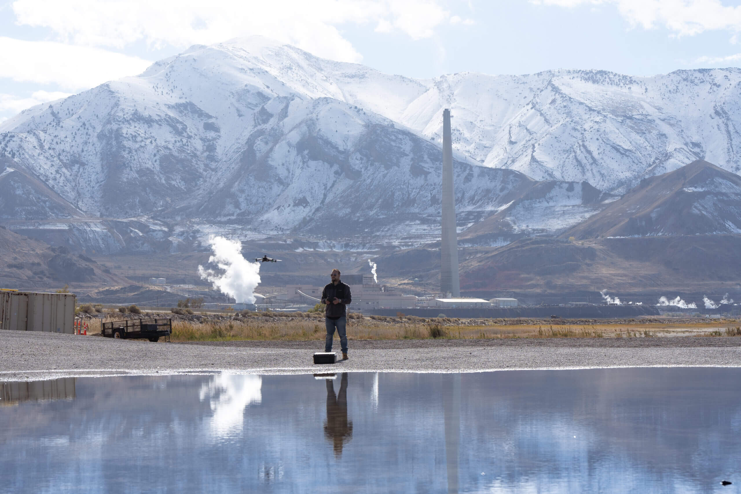
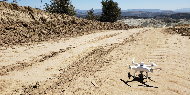
We’re excited to announce our partnership with DJI, the world’s leader in civilian drones and aerial imaging technology, to launch the Propeller PPK solution. Providing customers with a reliable and fully integrated system, the Propeller PPK solution collects highly accurate drone data for any worksite, without the challenges of traditional workflows.
Lack of project data is costing businesses an average of more than $177B annually on today’s construction sites alone. Together with DJI we’ve developed an integrated workflow with the Phantom 4 RTK drone, an AeroPoint, and our cloud processing platform to visualize real-time site data that allows sites to make data-driven decisions, and prevent costly mistakes.
“DJI has led the drone market with their reliable and innovative products, and quickly demonstrated the ability for these machines to become useful tools in the heavy civil and natural resource industries,” said Rory San Miguel, co-CEO of Propeller Aero. “Globally, these industries are seeing real cost savings and efficiencies through cloud-based analytics and using innovative new technologies like PPK drones combined with AeroPoints. Accurate data is paramount to worksite analytics and Propeller has always been obsessed with helping teams achieve this. We introduced the world’s first smart ground control point, AeroPoints, and now we’ve partnered up with DJI to build an end-to-end PPK solution.”
The Propeller PPK solution will be distributed through Propeller’s Dealer Network, including DJI’s Enterprise Dealers, Komatsu North America, and Trimble’s SITECH network, which is already integrated with Trimble’s Connected Site solutions as Trimble Stratus. The Propeller PPK solution is a fully integrated software and hardware system that reliably provides photogrammetric model outputs in geodetic, projected, or local coordinate systems. This solution provides accuracy of 1/10ft (3cm) from independent checkpoints across small and large survey areas (checkpoints up to 1km from GCPs). (Learn more about testing accuracy in our whitepaper.)
“The advent of drones in the construction industry has improved efficiencies, and Trimble Stratus users are already benefiting from the ease-of-use and scalability of drone-based surveys,” said Scott Crozier, general manager, Trimble Civil Engineering and Construction. “With the new Propeller PPK Solution and Trimble Stratus software, we’ve seen first-hand how surveyors and contractors can collect aerial survey data in a fraction of the time it used to take, and get repeatable and reliable results.”
Read the full press release here.
ABOUT DJI
DJI is a global leader in developing and manufacturing civilian drones and aerial imaging technology for personal and professional use. DJI was founded and is run by people with a passion for remote-controlled helicopters and experts in flight-control technology and camera stabilization. The company is dedicated to making aerial photography and filmmaking equipment and platforms more accessible, reliable, and easier to use for creators and innovators around the world. DJI’s global operations currently span across the Americas, Europe, and Asia, and its revolutionary products and solutions have been chosen by customers in over 100 countries for applications in filmmaking, construction, inspection, emergency response, agriculture, conservation, and many other industries.
For more information, visit: www.dji.com


