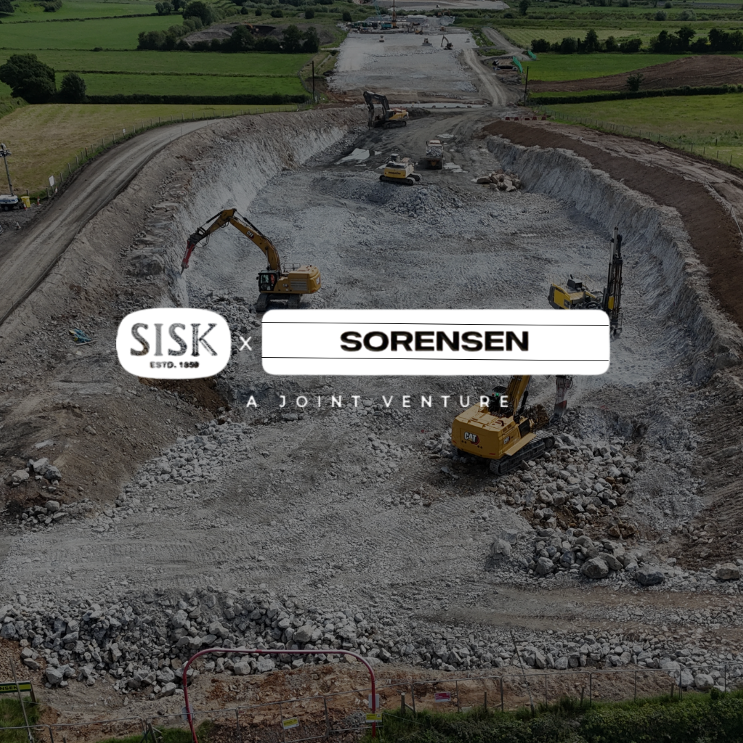
How Sisk / Sorensen Joint Venture streamlined earthworks on Ireland’s Adare Bypass with Propeller
Surveys that used to take a week now take a day
On the Adare Bypass project, surveying progress with traditional GPS would have taken one engineer a full week, or a team of surveyors an entire day to complete a full site survey. Processing the data added even more delays. Weekly surveys simply weren’t realistic.
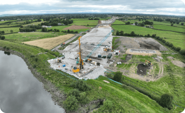
With Propeller, the Sisk / Sorensen Joint Venture (JV) now flies in sections, stitches them into a composite survey, and has a full 7.5km site model ready within 24 hours. That speed makes weekly tracking not just possible, but practical.
Leaner teams, bigger impact
By moving to Propeller, Sisk / Sorensen avoided the need to add two full-time surveyors and a CAD technician. Instead, a single person can now complete a site survey in around six hours.
That shift frees up engineering resources and ensures the whole team (earthworks, structures, design) has the same up-to-date, visual data.
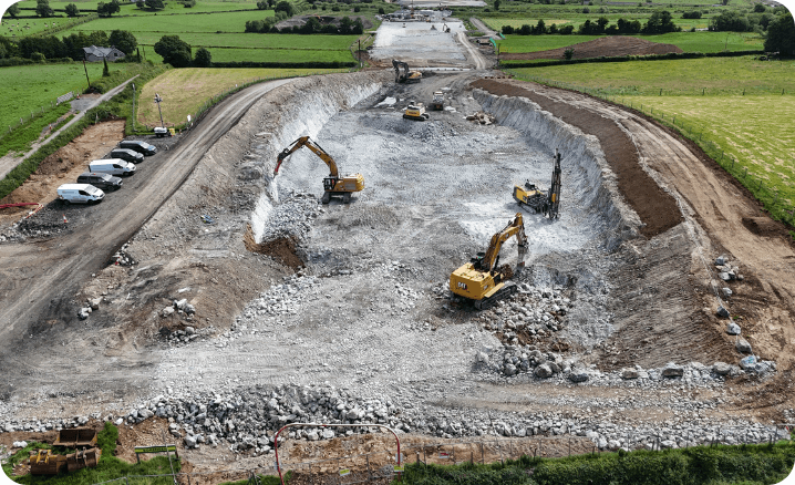
Earthworks team: Tracks cut/fill volumes, manages stockpiles, and verifies haul balance along the route
Structures team: Plans crane pads and heavy delivery routes with accurate cross sections
Design team: Overlays CAD files, checks alignment, and validates design without stepping foot on site
Bringing design to life on the map
Overlaying design files directly onto Propeller’s 3D site model gives the JV instant visual confirmation that work is progressing as planned. Teams can see how current ground levels compare to design, check tolerances, and identify areas needing adjustment before they become rework. That clarity keeps communication tight between field and design teams—and the project moving forward confidently.
Balancing cut and fill in real time
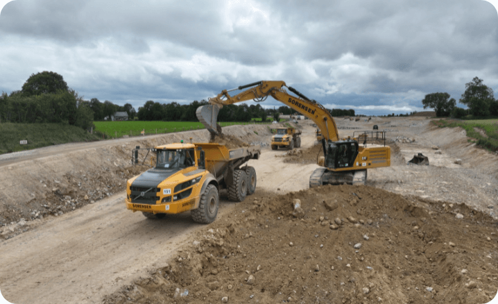
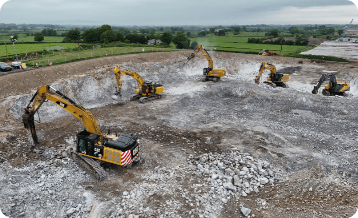
The bypass runs on a repeating cut/fill pattern: cut, fill, cut, fill, cut, fill. Keeping that balanced is critical for efficiency. Propeller makes it possible.
With bi-weekly flights (soon moving to weekly), the JV calculates mass haul volumes with precision, ensuring machines are allocated correctly and material is moved efficiently.
The result: less idle time, lower costs, and fewer surprises.
The Propeller tools that power Sorensen SISK’s project
Composite surveys
Problem it solves: Corridor projects are too long to survey in one go
What it does: Stitches sectional flights into one seamless site model
How it helps: Provides a holistic 7.5km view while still capturing in manageable chunks
Cut/fill & mass haul measurements
Problem it solves: Hard to balance material movement across alternating segments
What it does: Calculates volumes with visual context
How it helps: Keeps earthworks in balance and machines working where they’re needed most
Quarry & stockpile management
Problem it solves: Difficult to track onsite materials consistently
What it does: Measures quarry and stockpile volumes directly in the platform
How it helps: Improves planning and validates imports/exports of material
Haul road mapping
Problem it solves: Inefficient traffic flow increases idle time
What it does: Maps haul roads across the bypass
How it helps: Ensures machines move efficiently and safely, reducing bottlenecks
Ortho exports & CAD interoperability
Problem it solves: Disconnect between survey data and design tools
What it does: Exports orthophotos and topographic models into CAD
How it helps: Allows the design team to validate alignment and spot issues without site visits
Cross sections & area measurements
Problem it solves: Temporary works like crane pads require precise data
What it does: Generates accurate cross sections and areas
How it helps: Structures team plans lifts and deliveries with confidence
Reporting & sharing tools
Problem it solves: Manual reporting takes time and limits visibility
What it does: Creates clear, visual progress reports in minutes
How it helps: Keeps internal teams aligned and ensures clients get regular, accurate updates
Propeller Platform on mobile
Problem it solves: Field teams need quick, reliable site context
What it does: Propeller Mobile brings full site access to mobile devices
How it helps: Site managers can plan and navigate confidently in the field without relying on surveyors or machine control
Export tools & platform integration
Problem it solves: Siloed workflows across tools
What it does: Exports data layers, annotations, and visuals into CAD, SketchUp, and more
How it helps: Makes it easy to share up-to-date visuals for reporting, bids, or client updates without extra rework
Data they can trust and prove
Propeller’s accuracy has been benchmarked against RTK GPS surveys with minimal differences recorded. The added detail and visual context give Sorensen SISK confidence in every decision.
A final word on the matter
Want to know how Propeller can help you?
Learn more about Propeller’s products, pricing, and how to get started on your site.
You might also like

Cross Section Survey in a Matter of Minutes Using Drone Data

How to Use Drone Data to Improve Landfill Performance
