High-precision survey data processing software
Stop waiting on slow processing pipelines and disconnected workflows. Propeller gives surveyors and GIS teams the tools to capture, process, and share high-precision site data with total confidence, from existing ground through final as-built verification.
This is high-precision data without the manual grind.













Spend less time processing and more time delivering
When clients expect survey data back the next day, every hour spent manually processing files, chasing accuracy checks, and moving data between systems is an hour you can’t afford. Propeller handles the processing pipeline end to end so your team spends less time in the office managing outputs and more time on the work that actually builds the business.
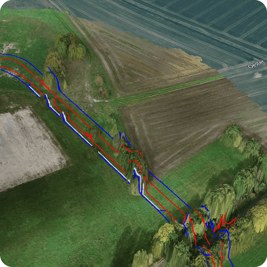
“Trimble Stratus, powered by Propeller has completely transformed our surveying process. I now have more time for other tasks, the data is reliable and accessible to everyone, and the overall efficiency of our team has significantly improved. No one at Gröschler wants to work without this solution anymore.”
– Matthias Kibwebwe, Surveyor at Gröschler Bauprojekt GmbH
Accuracy your team can stake their name on
Engineering decisions depend on data that holds up. Propeller connects high-precision capture, automated processing, and a shared platform into one workflow from existing ground through final as-built. This is how modern survey teams work.
The survey data processing software built around how teams actually work
Propeller is designed around the way survey and GIS teams actually work, from site setup to final deliverable. Everything is automated where it should be, verifiable where it has to be, and shareable without the friction. survey data processing software
Automated processing, from capture to map
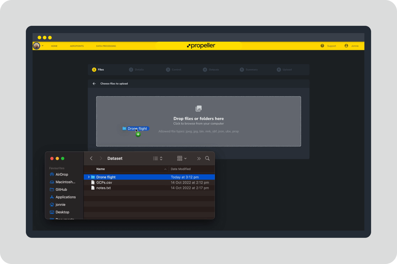
Propeller handles photogrammetry and LiDAR processing end to end, covering PPK correction, point cloud denoising, strip alignment, classification, and QA/QC. Upload your captured data and get a clean, analysis-ready map without reformatting files or managing processing software.
Survey teams get fast access to:
- High-precision orthomosaics and surface models
- Contours, volumes, and cut/fill comparisons
- Consistent outputs across every survey capture
- A visual record of site conditions, timestamped and ready to share
All processed consistently, so every survey tells the same story.
As-built verification and design conformance
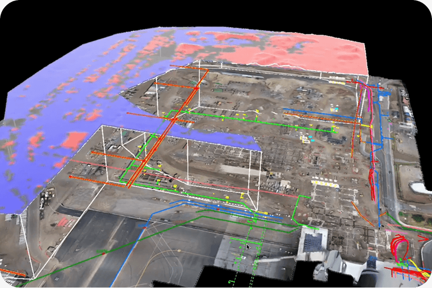
When sign-off is on the line, you need data that holds up to scrutiny. Overlay CAD designs directly onto your survey captures, compare any two surfaces side by side, and generate timestamped reports that document exactly what was built and when.
With Propeller, survey and GIS teams can:
- Overlay CAD and design files on high-precision survey data
- Run cut/fill comparisons to design or previous survey
- Generate cross-section charts for grade and elevation verification
- Export measurement reports in PDF or CSV for record keeping and billing
This is the record-keeping and CYA layer that protects your work and your clients.
Establish existing ground before work starts
An accurate topo before the first machine moves is the foundation of a defensible bid and a well-run project. Propeller makes it fast to capture, process, and deliver existing ground surveys for any terrain with the precision to verify boundaries, confirm volumes, and protect against scope disputes from day one.
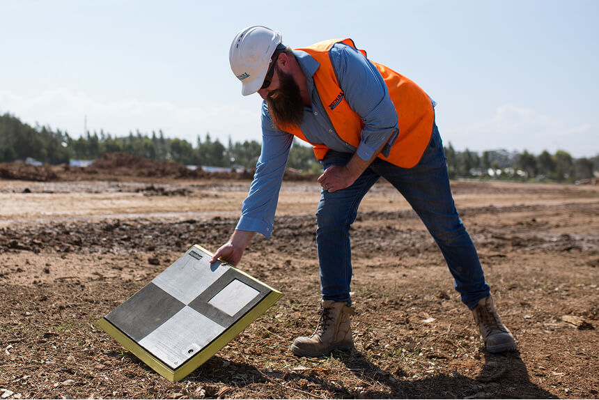
With AeroPoints and Propeller PPK, surveying teams benefit from:
- Fast, repeatable site setup without traditional GCP coordination overhead
- Consistent high-precision control across repeat flights
- LiDAR capture for sites with vegetation or obstructed terrain
- Terrain filtering and manual cleanup tools for complex surfaces
- Outputs including surface-to-design comparisons, takeoff maps, and PDF overlays
Manage the stakeholder loop, without the email chains
Survey managers spend too much time managing communication between GCs, engineers, subs, and clients. With Propeller, every stakeholder works from the same verified map. Share data via a crew link, annotate directly on the 3D surface, and keep every party aligned without version confusion or manual file distribution.
With Propeller’s collaboration tools, teams can:
- Share live maps via crew links, accessible on any device
- Mark up and annotate the 3D surface in real time
- Pin field photos and 360 media to exact map locations
- Sync measurements between desktop and mobile
- Integrate with GIS platforms via WMTS and read-only public API
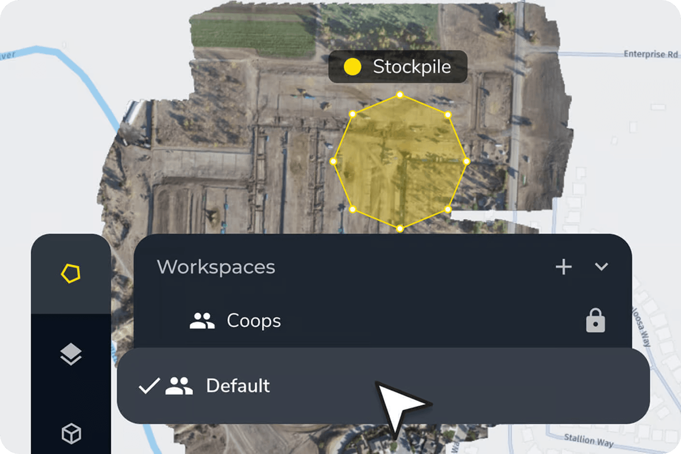
Surveyor and GIS applications
Propeller supports the full range of surveying workflows, helping teams work faster at every stage while keeping the accuracy their clients expect.
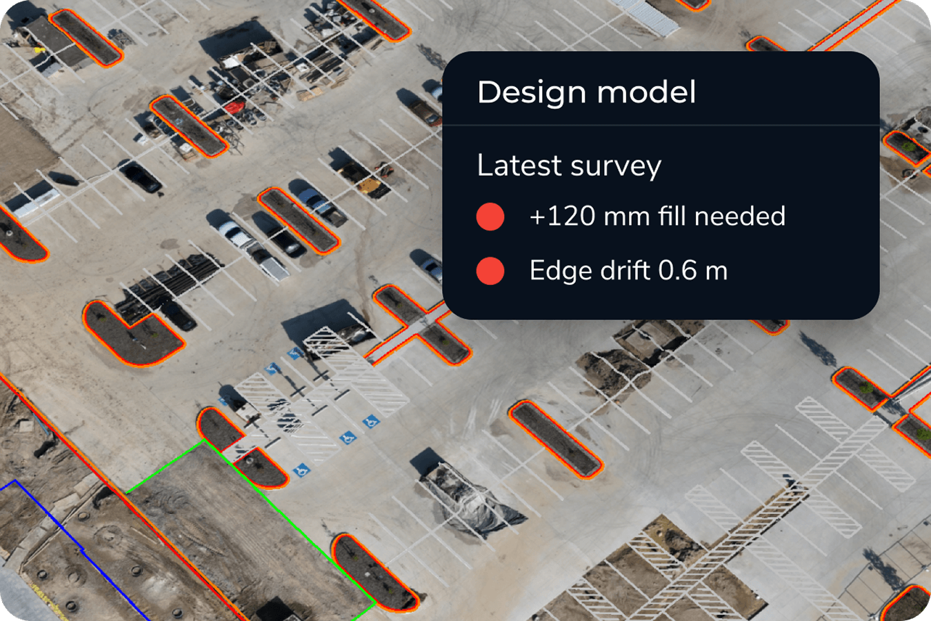
Topographic capture and bid verification
Capture detailed site conditions quickly and turn them into surfaces and contours ready for design and estimating. Use high-precision drone data to validate existing conditions, support early-stage planning, and produce the topo your team needs to win the right work at the right number.

Progress tracking and production verification
Survey teams are often the ones responsible for verifying production volumes and confirming work is tracking to schedule. Propeller makes it easy to run surface comparisons, verify cut/fill against design, and share clear, timestamped updates with project managers and clients without repeated site visits.
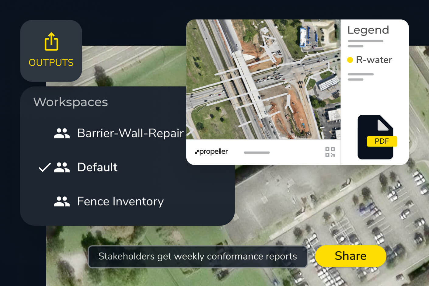
As-built documentation and phase closeout
From new cell construction in waste management to corridor completion in transportation, Propeller gives survey teams the record-keeping tools to close out phases with confidence. Timestamped survey captures, design conformance overlays, and exportable reports give engineers and owners the verified documentation they need.
Why site engineers choose Propeller
Site engineers choose Propeller because being right isn’t enough. You need to be able to prove it. Propeller gives engineering teams the data, the documentation, and the communication tools to stay ahead of every question before it becomes a problem.
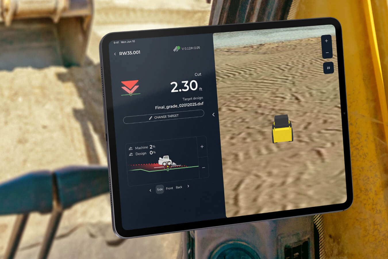
With Propeller, teams get:
- Automated processing that removes manual steps from the survey pipeline
- High-precision outputs consistent across photogrammetry and LiDAR workflows
- A single platform for capture, verification, reporting, and stakeholder sharing
- Data that engineers, project managers, and clients can all read and act on
- Integration with the CAD and GIS tools your team already relies on
Propeller is the survey data processing software for teams who need more certainty and more time on the work that matters.
Faster from capture to verified
See how Propeller fits into your survey workflow.
Frequently asked questions
AeroPoints make it straightforward for your team to set up high-precision ground control without traditional GCP coordination overhead. Your existing survey knowledge applies directly — Propeller just removes the manual steps in between.
Yes. Propeller exports into Civil 3D, AutoCAD, Bentley, Trimble workflows, and standard GIS formats. You can also stream orthophotos directly to your GIS platform via WMTS, or query site and survey data via the read-only public API.
Fly your site and receive a processed, analysis-ready 3D map within hours. Most teams have verified outputs before the end of the same working day.
Yes. Propeller processes and stores both data types in the same viewer, so you can compare photogrammetry and LiDAR captures side by side or use each for the conditions where it performs best.
Crew links let you share a live, read-only view of any map via URL — no login required. Stakeholders can view, annotate, and reference the same data your team is working from.