Every job starts with a number. That number (the earthwork estimate) sets the trajectory for your margin, your schedule, and your risk.
But most estimates are built on unverified existing ground. Not because teams don’t care, but because it’s become standard practice to trust the topo and move forward.
That assumption is one of the most expensive risks in civil construction. Most teams don’t realize until it’s too late.
What existing ground actually is
The baseline everything depends on.
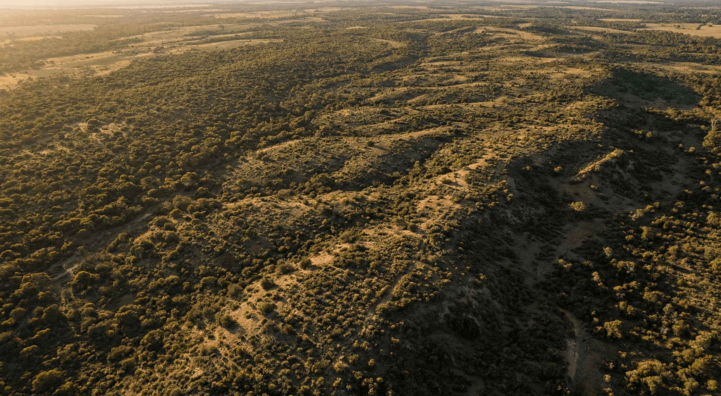
Existing ground (EG topo or existing conditions) is the surface of a site before any earthwork begins. It’s the three-dimensional baseline that every cut, fill, and volume calculation is measured against.
In theory, this comes from an accurate and recent survey included in the bid package. In practice, it’s often incomplete, outdated, or based on limited data.
Sites change. Vegetation grows. Dirt moves. But the topo often doesn’t.
That gap between assumed ground and actual ground is where risk starts.
Why unverified existing ground is so risky
A known problem that teams still accept.
Inaccurate pre-bid topos are one of those industry problems everyone knows about, but continues to work around instead of solving.
When contractors suspect the topo is wrong, they typically respond in one of two ways:
- Add contingency to protect margin, which can make the bid less competitive
- Trust the plans and deal with issues later, which puts margin at risk
Neither approach fixes the underlying issue. One costs you work. The other costs you profit.
Some contractors take a different approach. Instead of estimating from assumptions, they estimate from verified surface data—and use that accuracy as a competitive advantage.
Engineering topos aren’t built for estimating
Designed for design, not for risk.
Engineer topos are created to support design decisions, not to power earthwork estimates. They’re often generated from aerial imagery, low-resolution LiDAR, or a limited number of survey points.
The result can look precise, but still be off by feet in vegetated areas, steep terrain, or sites that have changed since the survey.
That’s how jobs that look profitable on paper turn into problems once crews hit the ground.
How existing ground errors impact your margin
The risk doesn’t stay in the bid.
Bad existing ground data doesn’t just affect estimating. It compounds across the entire project lifecycle:
- Estimating: quantities are pulled from a faulty baseline
- Bidding: contingency is either too high or too low
- Mobilization: crews uncover discrepancies on day one
- Execution: rework and incorrect import/export assumptions
- Closeout: disputes without proof of original conditions
The most dangerous scenario is an import/export miscalculation. When the balance is wrong, you can end up moving the same material twice—burning time, diesel, and margin in the process.
What happens when you verify first
A single dataset can change everything.
One contractor received a bid package showing a 12,000 cubic yard import. After verifying the site with a drone survey, they uncovered a 19,000 cubic yard discrepancy.
What looked like a 12,000 yard import was actually a 7,000 yard export—a complete reversal.
Catching that before mobilization avoided major rework, cost overruns, and schedule delays.
What changes when you verify existing ground
From assumption to confidence.
Replacing assumed ground with verified surface data reduces risk across every decision:
- Quantities reflect actual site conditions
- Import/export balance is accurate from day one
- Contingency can be reduced without increasing risk
- Change orders are backed by verifiable proof
- Teams work from a shared, trusted baseline
For estimators, this means tighter bids. For project managers, it means fewer surprises. For owners, it means margins that hold through closeout.
What a modern verification workflow looks like
Fast, accessible, and built for pre-construction.
Capturing existing ground used to require survey crews, long lead times, and added cost before a bid was even won.
Now, a drone survey can capture the site in hours and turn it into a measurable 3D surface model in a cloud-based platform.
That model becomes the baseline for estimating, planning, and execution.
In practice, that looks like:
- Capture the site before bidding
- Process into a measurable 3D surface
- Run quantity takeoffs from real data
- Share across estimators, PMs, and stakeholders
- Use as the baseline through the full project lifecycle
TL;DR: Why existing ground needs verification
- Existing ground is the baseline for every earthwork estimate
- Most bid packages rely on unverified or outdated topo data
- Errors in existing ground impact every stage of a project
- Verification reduces risk, protects margin, and improves bid accuracy
- Drone surveys make verification fast and accessible before bidding
Know your site from day one
Start with a baseline you can trust.
The projects that hold margin are the ones that start with verified data. See how Propeller gives your team a single, trusted map from the very beginning.


