Pre-bid topos: Why estimating from design data is costing you bids and margin
Earthwork estimating often feels like a tradeoff between winning work and protecting margin. Bid tighter, take on more risk. Play it safe, lose the job.
But that tradeoff isn’t actually the problem. The problem is the data you’re bidding from.
Pre-bid topos are built for design, not estimating. And that mismatch is where costly errors start.
Pre-bid topos aren’t built for estimating
Designed for design, not quantity certainty.
The topographic data in a bid package wasn’t created for estimators. It was created to support site design.
That means it often lacks the accuracy, recency, and completeness needed to confidently calculate earthwork quantities.
Estimators still rely on it because it’s what’s available. But that gap between intended use and actual use is where risk enters the bid.
When a small error becomes a major problem
Verification catches what plans miss.
One contractor identified a coordinate system mismatch before mobilization. The design file labeled the site in international feet, while the actual data was in U.S. feet.
That difference shifted the entire site by roughly six feet, misaligning every tie point and piece of infrastructure.
Catching it early avoided weeks of rework, project delays, and a likely dispute over responsibility.
What padding a bid actually costs
A hidden tax on your win rate.
Adding contingency feels like protection. In reality, it often reduces competitiveness.
On a $2M project, a 10% contingency adds $200,000 to your bid.
- Bid high and lose to a tighter competitor
- Bid tight and risk absorbing errors from bad data
Both outcomes come from the same issue: uncertainty about existing ground.
Ways to verify existing ground before bidding
Not all capture methods are equal.
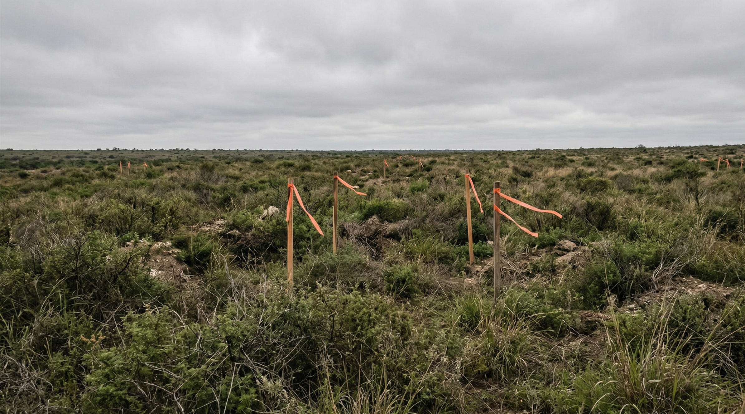
Photogrammetry: cost-effective and widely used, but limited by visibility. Struggles in vegetated or obstructed areas.
LiDAR: penetrates vegetation to capture true ground elevation. Best suited for uncleared or complex sites.
Ground topo: highly accurate, but time-intensive and costly, making it less practical for pre-bid scenarios.
The right method depends on site conditions, but the goal is the same: replace assumptions with measurable data.
How verification fits into your workflow
Faster than most teams expect.
Pre-bid drone surveys don’t add significant overhead. In practice, they integrate directly into existing workflows:
- Capture the site during or after the site walk
- Process into a georeferenced 3D surface
- Run takeoffs using verified data
- Submit bids with a documented baseline
Instead of adding complexity, verification removes uncertainty from the process.
Make existing ground your advantage
Better data changes how you bid.
When you verify existing ground before bidding:
- You bid to actual conditions, not assumptions
- Your contingency reflects real uncertainty
- You can bid tighter with confidence
- You have proof if quantities are challenged
Over time, this leads to more consistent bids, fewer disputes, and stronger relationships with clients and partners.
TL;DR: Why pre-bid verification matters
- Pre-bid topos are built for design, not estimating
- Topo errors directly impact quantities and margin
- Contingency reduces competitiveness without reducing risk
- Verification replaces assumptions with measurable data
- Better data leads to tighter bids and more reliable outcomes
Stop bidding blind
Start with data you can trust.
Let your competitors rely on assumptions. See how Propeller turns a drone survey into a competitive advantage before the bid goes in.


