For worksites, accuracy isn’t a vanity metric; it’s mission-critical for any project involving earthwork or major material movement. From creating 3D site models to measuring stockpile volumes and anticipating runoff patterns, every data point matters.
But getting quick access to data matters, too, and speed and accuracy have long been at odds. Either you get data quickly, or you get it right. At least, that’s how things used to be.
At Propeller, we don’t think surveying should be a zero-sum game. We think you should have your speed and get your accuracy, too. That’s why we’ve made it our mission to empower construction professionals with survey data that’s easy and efficient to capture, without sacrificing accuracy in the process.
To demonstrate the power of Propeller, we field-tested our PPK workflow for photogrammetry and LiDAR at a 100-acre Fiore & Sons worksite on the southern side of Denver. And, to make sure you didn’t have to take our word for it, we also enlisted Manhard Consulting to double-check our numbers and validate our accuracy results.
Here’s a quick rundown of our methodology, hardware, and how to get your hands on the report.
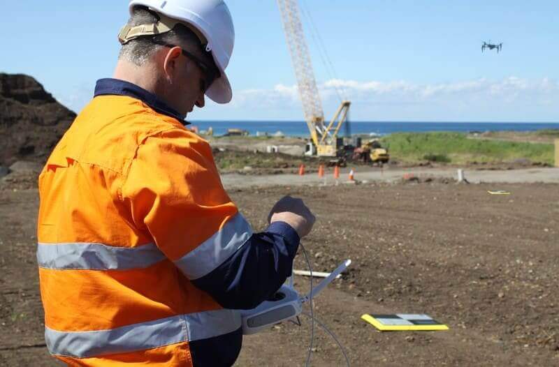
John Walls, Solutions Engineer at Propeller, explains Propeller’s PPK workflow as a simple, three-step process.
Our testing methodology + hardware
Real-world site conditions
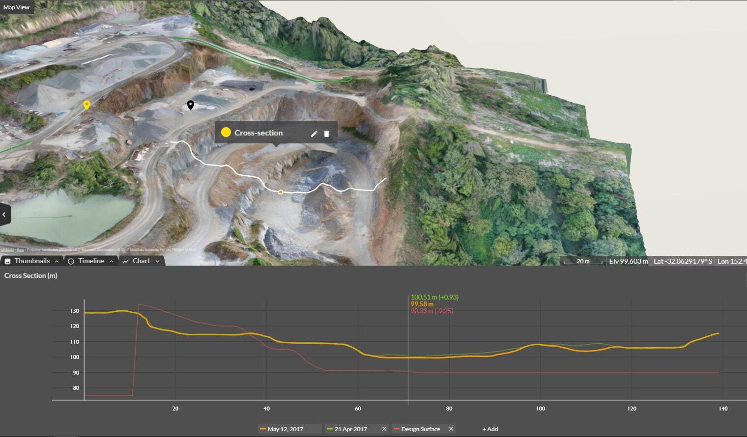
Ensuring the utmost accuracy in our drone surveying workflows is paramount to everything we do. For years, we’ve talked about using Propeller PPK to achieve survey-grade accuracy (with measurements accurate to 1/10ft).
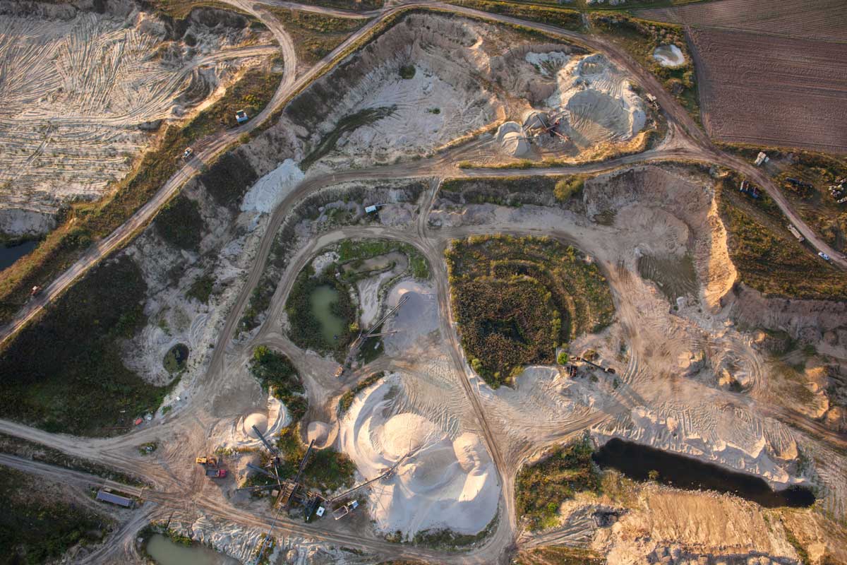
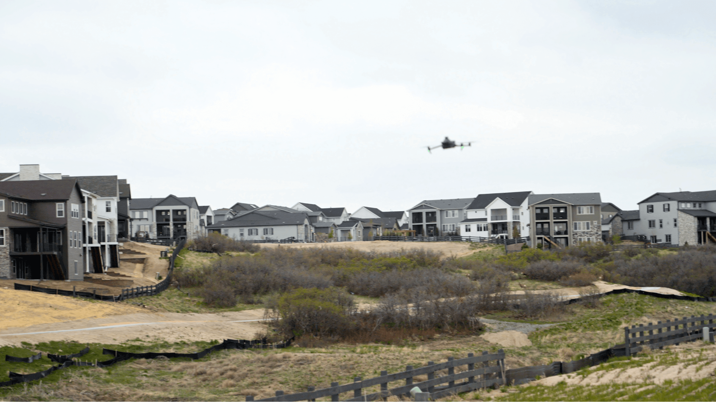
To demonstrate how to achieve that level of accuracy under real-world site conditions, we chose a live worksite for our test: a 100-acre Fiore & Sons project site on the south side of Denver, complete with diverse terrain and ~170 feet of vertical relief from one side to the other.
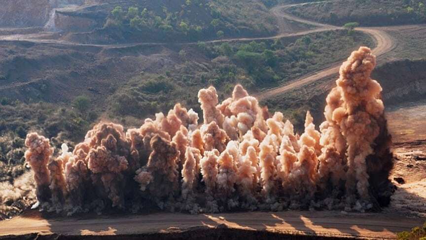
We conducted the LiDAR and photogrammetry surveys on the same site, which contained heavy brush, mixed dirt and asphalt surfaces, and even residential houses, presenting a challenging but realistic testing ground.
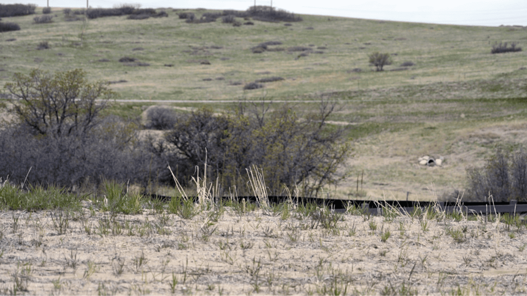
Shrub/scrub and grassland/herbaceous vegetation on Fiore & Sons’ “Canyons” project in Castle Pine, CO.
Photogrammetry hardware and workflow
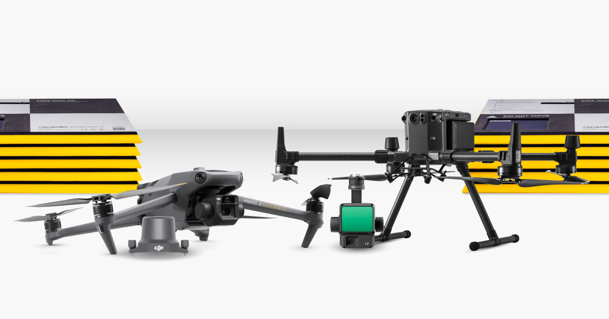
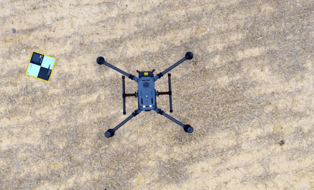
During the photogrammetry survey, we flew the drone most used by our customers: the DJI Mavic 3 Enterprise (M3E). We also used a single AeroPoint as a combination ground control point and base station alongside 15 checkpoints to verify accuracy.
Using our PPK workflow, we surveyed the 100-acre site in 23 minutes and processing took our QA team about 10 hours.
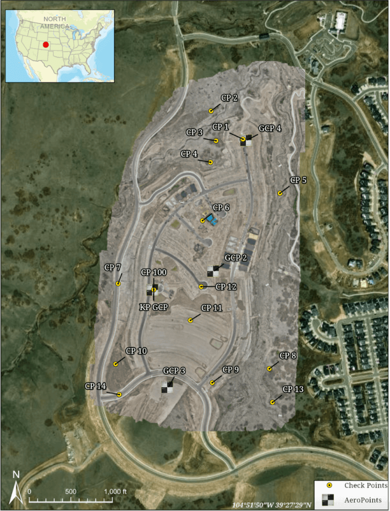
Site overview map of Fiore & Sons’ active civil construction project with GCPs and CPs labled.
LiDAR hardware and workflow
For the LiDAR survey, we flew the DJI Matrice 350 with the Zenmuse L2 sensor. The LiDAR flight took just a few minutes longer than the photogrammetry survey, clocking in around 26 minutes for a 100-acre survey. Processing also took slightly more time than the photogrammetry survey, coming back within 15 hours
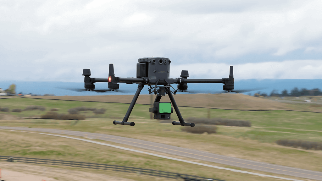
DJI’s Matrice 350 RTK drone with the Zenmuse L2 sensor.
Surveyor Validation
Finally, we enlisted Manhard Consulting to verify our work. Steve Sheets, a Field Operations Manager with 24 years of surveying experience, was on-site on the day of the field test to establish ground control and provide 15 checkpoints around the site with a Trimble R12i GNSS receiver. Once Propeller processed the photogrammetry and LiDAR data, point clouds were delivered to Manhard Consulting for accuracy validation.
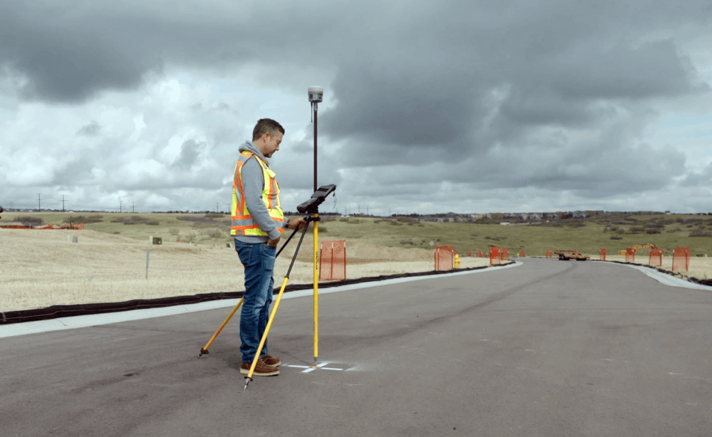
Steve Sheets, Field Operations Manager at Manhard Consulting with a Trimble R12i.
Propeller’s accuracy promise
Drones reduce surveying time to a fraction of what’s required with manual surveying instruments, delivering results in minutes instead of days. But speed is just one piece of the puzzle.
With faster and more accurate data, even big projects stay on time and on track. Teams know exactly what they’ve moved and how much work is left to go, prompting better decisions about what to do next.
Here are just a few of the ways that data accuracy is a win for you, your team, and your organization as a whole.
Outdo the competition
Show current and future customers you’re committed to investing in digital tools that help your workforce work smarter, delivering higher quality in less time. Ramp up your accuracy early, winning more bids and protecting your margins with more accurate pre-bid estimates.
Commitment to accuracy
Accuracy helps prevent rework and yield higher quality, keeping projects on time and on budget. Give your team the tools they need to collaborate transparently with project stakeholders across the board.
Faster workflows = faster results
Surveying a 100-acre site might take a two-man team three days. Add two days for processing, and you’re looking at a full week before results come back—by which time your site looks much different than when you started.
The accuracy and density of data [with Propeller PPK] is second to none. —Justin Russell, Head Surveyor, Fiore & Sons
Get the results
At Propeller, we believe the right way and the easy way should be one and the same. That’s why we’re laser-focused on data accuracy, with smart survey solutions designed for both surveyors and non-surveyors that make accuracy everybody’s win.
Download the full report below, which verifies our accuracy claims with empirical data and sets a new standard for precision in real-world site conditions.