Your civil engineering projects just got a whole lot easier. This week, Propeller is improving its CAD interoperability with support for LandXML file import.
Now, pull files from your preferred CAD package directly into the Propeller Platform, with no need to waste time on messy conversions.
What is LandXML?
LandXML is a non-proprietary file format (.xml) that stores the survey data used in the design and build process, usually for civil engineering projects.
Because the files aren’t proprietary (and therefore aren’t tied to a paid license), government contracts often stipulate LandXML as their preferred file format.
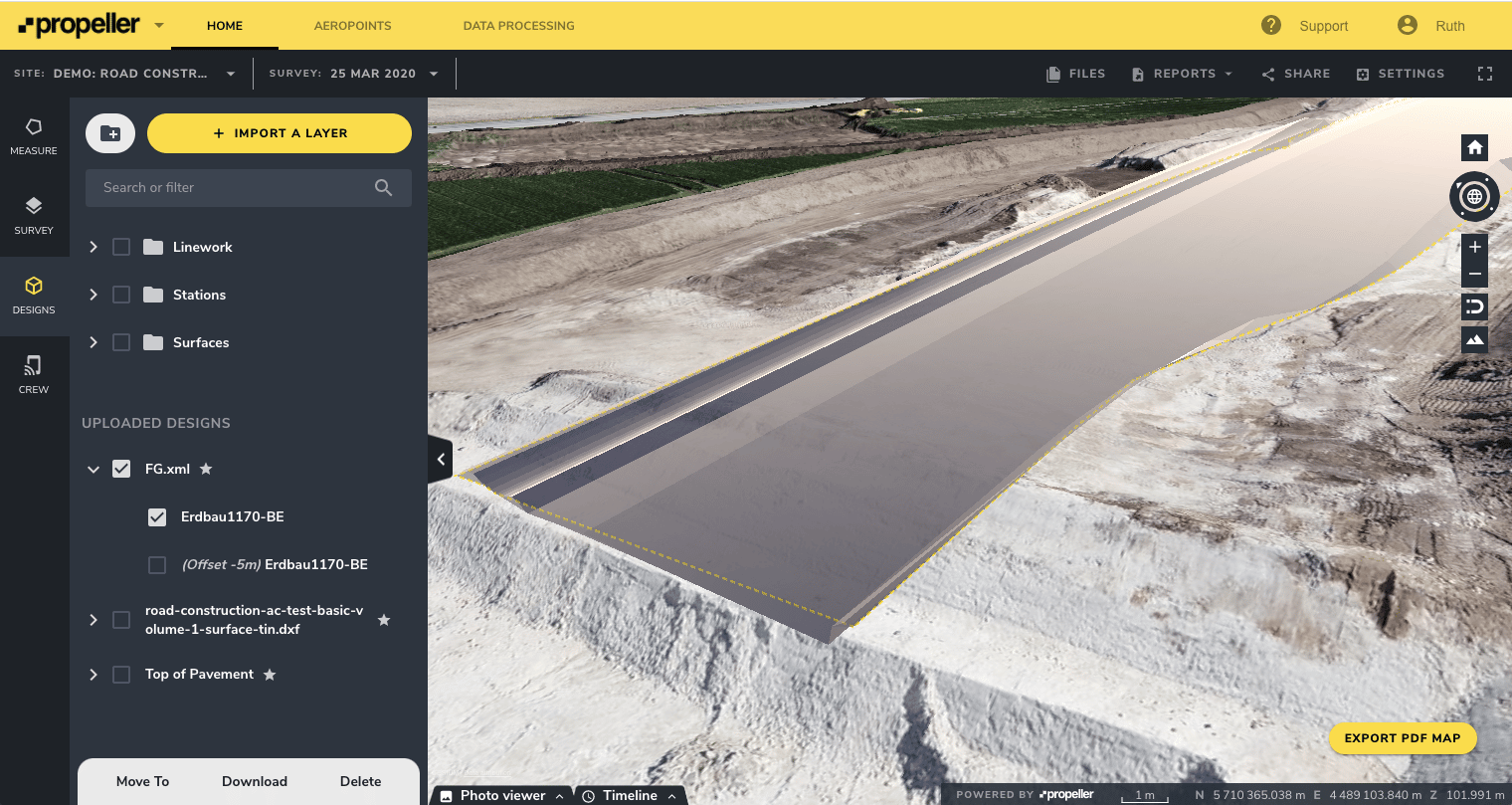
Survey managers and engineers can now upload design data into Propeller directly using LandXML files, without having to convert to an alternative file type first.
LandXML files contain the following supported data types:
- Points
- Survey measurements
- Cross-sections
- Surfaces
What can LandXML import do for you?
Without a consistent, universal file type like LandXML, exchanging data during a civil engineering project is a headache.
Multiple file types, incompatible software programs, and differing versions quickly become a survey manager or an engineer’s worst nightmare. File conversions are slow and irksome at best, and impossible at worst.
With support for an open, non-proprietary file format like LandXML, Propeller now offers a new level of compatibility for exchange of design and survey data on civil projects.
You get the full benefit of Propeller’s ability to measure worksite progress against design, without having to worry about converting files.
Land XML benefits, in a nutshell:
- Import data faster and with less hassle: Skip the file conversions and go straight to the analytics—just import .xml data directly into Propeller from the CAD software you use on your civil projects.
- Instant compatibility: Once imported, LandXML designs play nicely with Propeller’s suite of visualization and measurement tools. Communicate, measure, and track progress with confidence—no need for specialized CAD tools or trained experts.
- Win more bids: LandXML is often the standard file format used by government agencies like UDOT and NSW Land Registry Services. The ability to work with LandXML files gives you an edge over your competitors.


