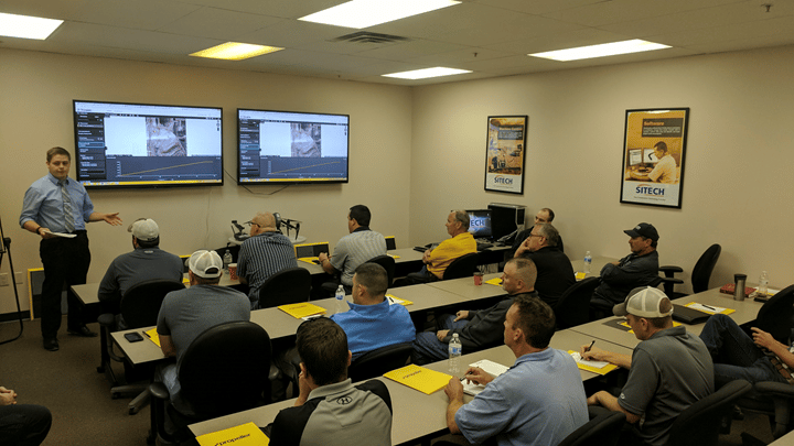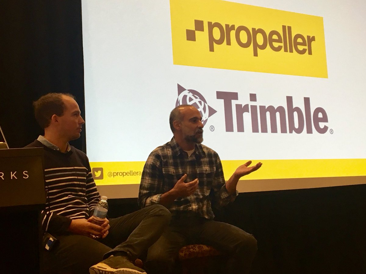
In late January 2019, the Propeller team attended and exhibited at the International LiDAR Mapping Forum (ILMF) in Denver, Colorado. This event brought together experts from across the LiDAR, UAV, and remote-sensing data communities.
If you couldn’t make it to the event or just didn’t have time to see all it had to offer, we put together this roundup to tell you about the our big takeaways from the conference.
“Digital twins” and autonomous vehicles are this year’s big themes
ILMF draws an international crowd of a few thousand people every year to exhibit the newest technology in the industry and discuss how these products will impact the future.
This year, we noticed two distinct themes in the sessions and exhibitor discussions: the digital twin and fully autonomous vehicles.
Most discussed the digital twin virtual model in relation to the creation of smart cities. Very simply, this technological concept allows companies to create detailed digital maps of the physical environment.
The capabilities it could bring to fully autonomous cities that have little need for traditional outside resources would be unlike anything available today.
While that’s a specific example of what “digital twin” can mean, it is also similar to what Propeller is already doing on a smaller scale: allowing users to create virtual 3D maps of their worksites.
What makes the “digital twin” valuable
The potential the digital twin has for the future creation of the smart city developments means that image capture, cloud-based processing, and data transfer will need to be incorporated into most aspects of the city itself, from physical infrastructure to digital systems.
Using LiDAR in these processes (and others) enables a continuous stream of data, allowing for real-time information to be transferred. While Propeller does not currently work with LiDAR data, these conversations opened the door for us to envision how photogrammetry could help in the analytical development and mapping of cities, similar to how it’s currently used on smaller sites.
We not only want to monitor, but also contribute to 3D mapping, remote-sensing, and cloud-based processing for sites that could one day be used in smart city development.
How LiDAR plays into autonomous vehicle development
LiDAR is also a top technology for the future of autonomous vehicles. LiDAR’s ability to accurately and continually map an area ahead of a moving vehicle makes it a great real-time mapping resource for autonomous vehicles to transmit data from their surroundings.
We were also interested to see how this use case for LiDAR would impact the next generation of autonomous vehicles on and off site, given its existing role with UAV surveying.
Watch out for new LiDAR hardware and applications
After sitting on many presentations and panels, two things stuck out in regards to future LiDAR innovation. First, we’ll be closely watching the development of LiDAR hardware products in the future. Second, the possibilities of how LiDAR tech could play a role in real-time site mapping in the future, whether through drone surveying or autonomous vehicles, is something big to monitor.