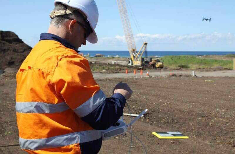
Civil construction and earthworks projects can be extremely complex with many activities and operations underway simultaneously. Complicated as they may be, these projects must still be delivered on time and with precision, while also providing a safe setting for workers. Being able to visualize your site and compare designs throughout the project lifecycle are key to successful project completion.
As worksites continue to adopt more technology, it’s become apparent that future success in the earthworks industry demands ample, informative data. With more frequent observations and greater understanding of their worksites, data-driven organizations can better plan their projects, track progress through streamlined operations and timeline tools, and catch errors early to avoid rework and costly disputes.
Introducing Design-to-Design within the Propeller Platform
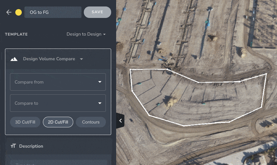
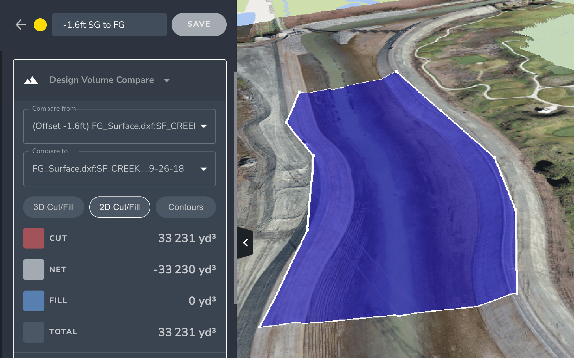
Committed to bringing you the accurate data you need to be successful, we’re excited to share that our processing platform has now expanded to include a Design-to-Design measurement tool. Joining our other volume comparison tools—Surface-to-Surface, Surface-to-Design, and Vertical Design Offset—this new feature provides a quicker and more reliable process for planning your work and measuring progress, from pre-bid to the final grade completion.
When bidding a project, we understand that carefully balancing competitive estimates with profitability can be difficult. You need accurate data to win bids, and you need to be able to collect it yourself. By using the Design-to-Design measurement tool, estimators can better use their data to produce high-quality, competitive submissions—and win more bids.
This new feature will enhance your project oversight and visibility with easy access to comparison data through the Propeller Platform. With this valuable information, you’ll be able to make better decisions and manage change orders more effectively throughout the course of the project, resulting in fewer cost overruns.
Using Design-to-Design, you also can calculate volumes and develop accurate estimates for work happening underwater. These surfaces are usually mapped using a bathymetric survey, which captures the depths and shapes of the underwater terrain and depicts the land that lies below. This data can then be uploaded to the Propeller Platform as a design file for comparison.
Here are ways you can quickly compare design files and accurately measure volumes across your site:
- Deliver accurate estimates: Measure the volume of material required between design grades to ensure high accuracy and reliability in material and project estimates.
- Track progress from pre-bid to final grade: Compare original ground files with updated designs throughout the project to accurately track progress and proactively address variances or other issues quickly.
- Increase flexibility in project planning: Manage design changes and avoid cost overruns by gaining greater insight into material volumes and adjusting plans, cost estimates, and material orders on the fly.
Empowering team collaboration and project success with Design-to-Design
With Design-to-Design now onboard the Propeller Platform, you can empower everyone on your project team with easy access to the data they need and anyone can use this functionality without an additional license or technical training.
The ability to accurately measure between designs with ease significantly reduces the burden and time your team spends planning work, managing design revisions, and providing estimates. There’s no need to download large files or work within a complicated software application to get the answers you need.
Design-to-Design is a substantial time-saver, particularly during the pre-bid process. The simple point-and-click process requires minimal training, and estimators can calculate exact quantities from highly accurate surface maps.
Using a comparison tool, like the Propeller Platform’s Design-to-Design feature, provides you with precise data and reduces your margin of error. Your improved accuracy and better data will positively impact your estimates and your earthworks projects, ultimately contributing to your business’ financial success.