Learn what a point cloud actually is and then how drone data is integrated with a point cloud to build a 3D worksite model.

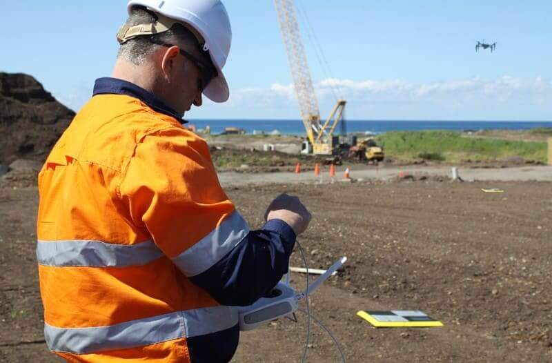
Things To Know About Ground Control in Drone Surveying
Ground control is the go-to option for turning drone data into highly accurate, survey-grade models.…