Data center civil work is unforgiving by design.
While the industry tends to focus on the hardware inside the building, the real risk sits underground. Power banks, fiber runs, cooling lines, duct banks, drainage, and overbuild all compete for inches. Once those systems are buried, there is no easy rewind button.
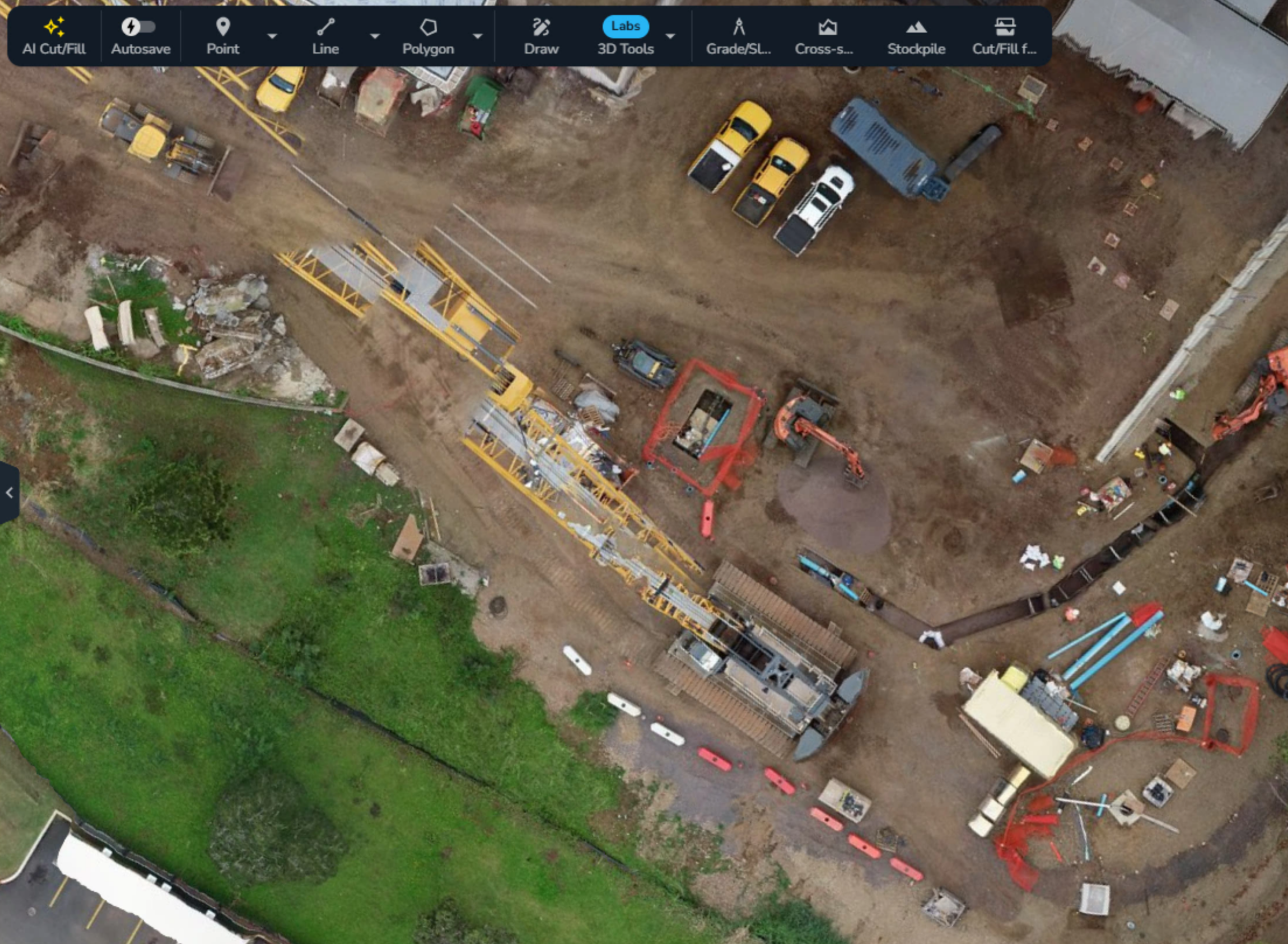
This is the invisible maze. And it is where schedules slip, margins erode, and disputes are born.
Most data center projects do not fail because of one catastrophic mistake. They fail because of small, compounding gaps between design and reality that go unnoticed until it is too late to fix them cheaply.
Teams that consistently deliver treat site reality as something that must be proven, not assumed. They rely on a repeatable set of civil checkpoints that surface risk early, align the field and office, and create defensible evidence as work progresses.
What follows is a practical, field-tested operating model built around seven checkpoints that protect data center civil builds from buried surprises.
Why checkpoints matter
On a data center site, “looks good” is not a verification strategy.
Checkpoints force alignment at the moments where mistakes are easiest to prevent and hardest to undo. When run consistently, they deliver a few critical outcomes:
- Fewer surprises by capturing conditions before work is hidden
- Faster decisions because everyone works from the same site truth
- Defensible documentation for approvals, audits, and disputes
- Margin protection through early verification of quantities and progress
- Smoother payment and compliance reviews with linked evidence
The goal is not more data. It is timely proof.
The 7 civil checkpoints
These checkpoints follow the natural flow of a data center earthwork scope. They act as defensive layers against rework, schedule drift, and costly second guesses.
1. Baseline / existing ground locked
Every dispute eventually comes back to one question: what did the site look like when we started?
If existing ground is not captured and locked at mobilization, everything that follows becomes negotiable.
- Why it matters: Establishes the reference for all future measurements, quantities, and design comparisons
- Cadence: Capture once at mobilization and lock the baseline on the shared map
- Evidence: High-precision topo or survey control tied to the site datum
2. Strip and clear boundaries verified
Clearing is often treated as a formality. On a data center site, it is a risk event.
A few feet beyond approved limits can trigger environmental issues, rework, or compliance headaches that ripple through the schedule.
- Why it matters: Confirms earthwork limits and protected zones before heavy equipment fully mobilizes
- Cadence: Verify at strip start and after major clearing events
- Evidence: Drone snapshot with annotated boundary overlays on the shared map
3. Utility corridor as-builts captured before burial
This is where the invisible maze becomes permanent.
Once utilities are covered, uncertainty is locked in. Missed depths, undocumented shifts, or undocumented tie-ins become future surprises waiting to surface.
- Why it matters: Creates a reliable, visual record of what was installed and where before it disappears
- Cadence: Capture immediately after installation and before backfill in each corridor section
- Evidence: Geolocated imagery, measured conduit depths, and timestamped as-built layers
4. Pad elevations and drainage verified
In data center work, small elevation errors turn into big problems.
Drainage issues, rework at foundations, and last-minute grading fixes are often symptoms of grade checks that came too late.
- Why it matters: Ensures pads are buildable, drain correctly, and align with design before vertical work begins
- Cadence: Daily signals during fine grading with weekly proof points for verification
- Evidence: Elevation snapshots, cross sections, and drainage flow checks tied to design
5. Mass grading progress vs design tracked
Earthwork plans rarely fail all at once. They drift.
Without frequent progress checks, small volumetric misses compound until recovery options are limited and expensive.
- Why it matters: Flags cut and fill discrepancies early while there is still time to adjust sequencing and haul plans
- Cadence: Daily or weekly depending on phase and risk, with higher frequency in critical zones
- Evidence: Cut and fill maps, cumulative volumes, and time-stamped progress overlays
6. Subcontractor quantities verified
Payment should be a confirmation, not a negotiation.
When quantities are not independently verified, billing reviews slow down and trust erodes.
- Why it matters: Keeps scope, quantities, and payment aligned and defensible
- Cadence: Weekly verification with snapshots at major milestones
- Evidence: Quantity reports pulled from the shared map with linked media and audit trails
7. Daily exceptions list
Every site has off-grade areas and behind-plan zones.
The risk is not that they exist. The risk is that no one owns them. A daily exceptions list creates visibility and accountability before small issues snowball.
- Why it matters: Surfaces problems early and creates a single place to track resolution
- Cadence: Updated daily with escalation for critical exceptions
- Evidence: Photographed exception, location pin, short note, and assigned owner on the map
A quick reference checklist
| Checkpoint | Why | Cadence | Owner | Required evidence |
|---|---|---|---|---|
| Baseline locked | Reference for all measurements | Mobilization | Survey manager | High-precision topo or control |
| Strip and clear verified | Protects limits and compliance | Strip start and after clearing | Superintendent | Boundary overlay and imagery |
| Utility as-builts | Prevents buried surprises | Before backfill | Utility crew | Geolocated imagery and depth notes |
| Pad elevations and drainage | Prevents buildability issues | Daily during fine grade | Foreman or grade checker | Elevations and cross sections |
| Mass grading vs design | Tracks volumes and schedule health | Daily or weekly | Earthworks lead | Cut and fill maps |
| Subcontractor quantities | Aligns scope and payment | Weekly | PM or contract admin | Quantity reports and media |
| Daily exceptions | Keeps issues visible | Daily | Site team | Photo, pin, note, owner |
*Cadence should increase in high-risk zones or areas with dense utility infrastructure.
How Propeller fits
The real focuses here are on operating discipline, not software.
Teams running these checkpoints consistently tend to rely on a shared map that connects field conditions, design, and progress in one place. In practice, that means:
- One source of truth shared across field, office, clients, and subcontractors
- Progress verified against design, not assumptions
- A visual timeline that documents what happened, when, and where
- Utility as-builts captured before burial and easy to reference later
- Frequent updates through drone data and machine-based signals in critical areas
The technology enables the model. The checkpoints make it effective.
Final thought
Data center projects reward teams that catch problems early and penalize those that discover them late.
By running these seven civil checkpoints, teams replace guesswork with proof, reduce buried risk, and move through the invisible maze with confidence.
If you want to see how these checkpoints come together on a single shared map, click below and book a consult with the Propeller team.


