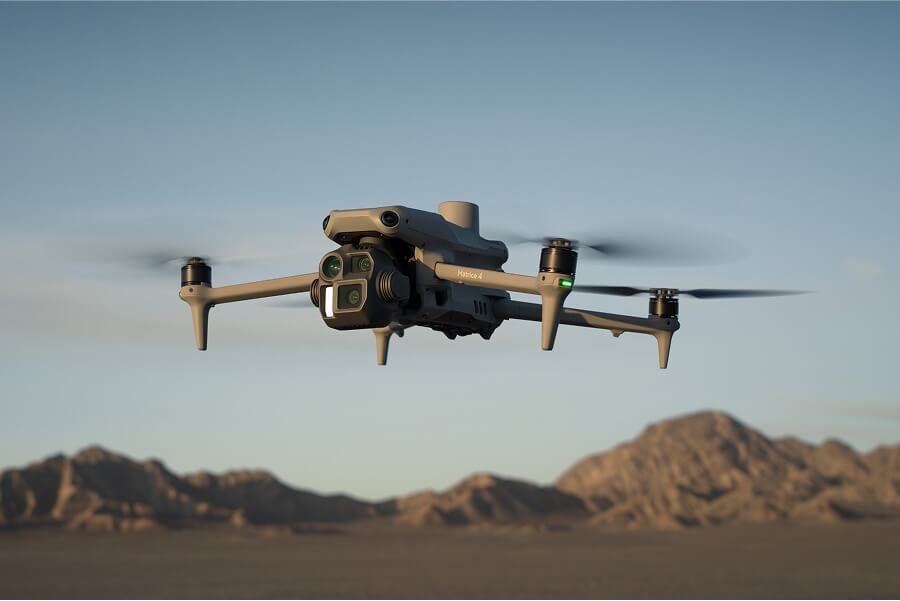
When you’re setting up a drone surveying program on your construction, mining, aggregate, or landfill operation, one big decision you need to make is whether to process surveys yourself or use an outside photogrammetry processor like Propeller.
There are pluses and minuses for both processing workflows, so let’s unpack them here.
What goes into processing your own data
Self-processing photogrammetry data can be the norm for many new users of drone surveying, and for those who demand hands-on manipulation of their data during processing.
The DIY approach can be an appealing option, but once users compare between self-processing and a photogrammetry processor, they find:
- When not considering staff and hardware costs, there’s a lower cash outlay on the front end
- Higher-level control over how results are processed, as every step is controlled by an in-house photogrammetrist
- Self-contained and not “in the cloud,” which is a requirement for some sensitive worksites or contractors
With that said, those who use a self-processing setup generally end up running into a few key challenges:
- Self-processing doesn’t scale well since it requires trained (and often expensive) photogrammetrists and additional hardware to simultaneously process surveys
- The computer processing power required is quite high, meaning a good photogrammetry computer could sometimes cost more than $10,000
- Even with the right computers, the processing power required for photogrammetry means that computer will be unable to do any other tasks while processing data, a process that takes hours to complete
Why process with Propeller?
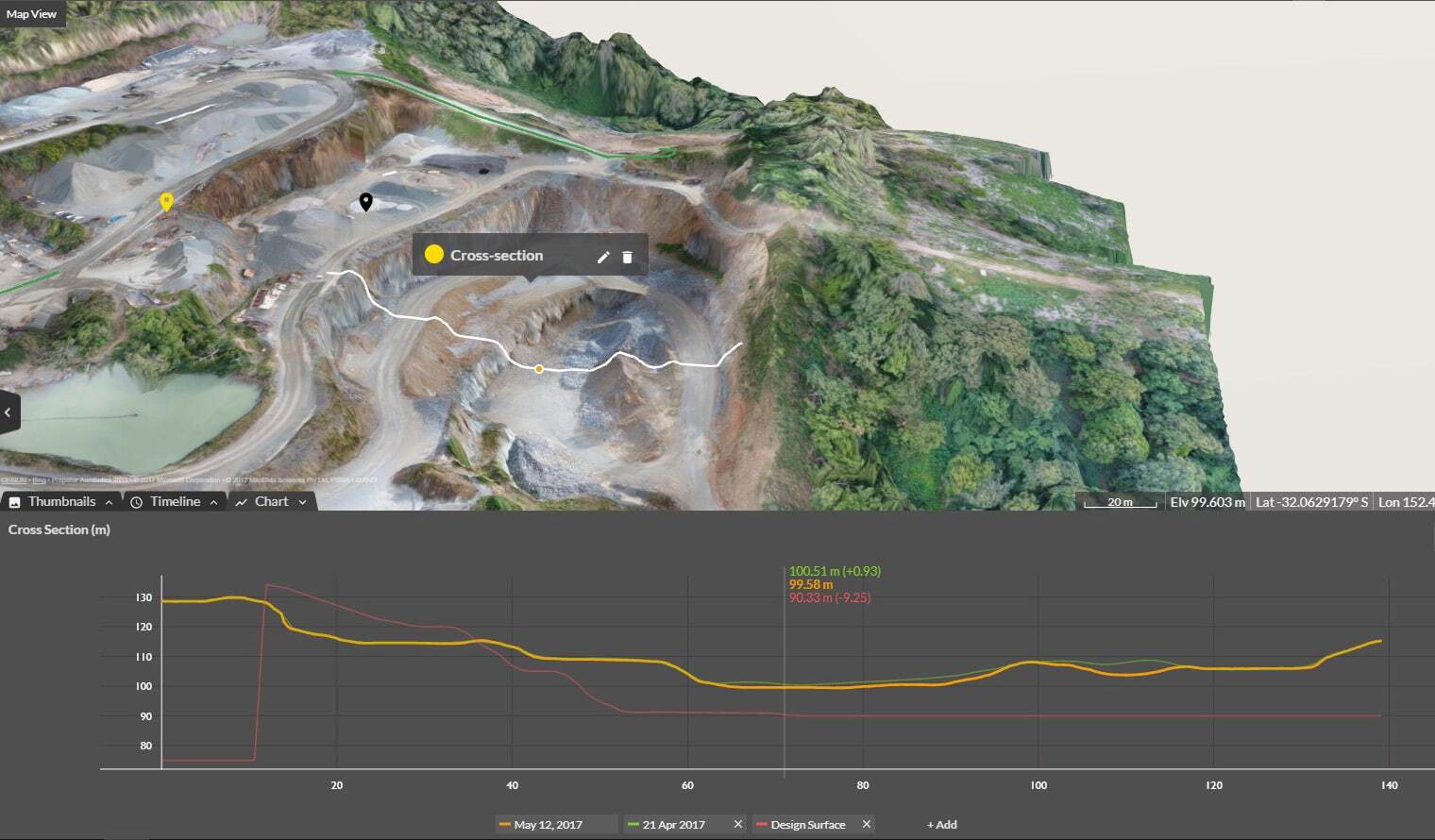
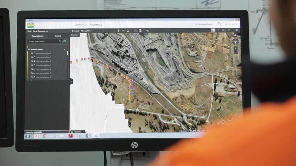
Image processing with something like the Propeller Platform has become a popular way to process and visualize photogrammetric data. The companies we work with see a number of benefits from letting us do the heavy lifting, including:
- They can quickly, easily scale their drone programs because there are no additional employees to hire or computers to buy to do processing
- Propeller uses a team of highly trained GIS experts, along with proprietary technology, to process every survey, so you can be sure your results are reviewed and validated by photogrammetric professionals
- Propeller processing gives surveyors the ability to spend their time using data to make the right decisions, not processing it
- Expensive and powerful computers are not required since Propeller does all the processing for you in the cloud
Propeller’s processing capabilities are built using photogrammetric best practices with all the right checks and balances to ensure you get the most out of your survey data. 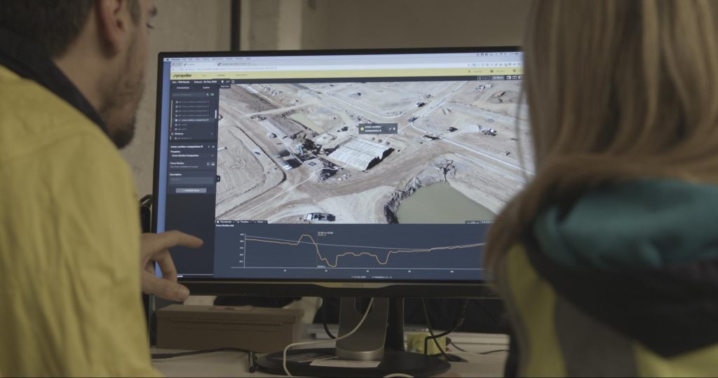
We know processing drone survey data with Propeller isn’t the right fit for everyone. We’re probably not the best fit for:
- Drone service providers looking to produce drone maps for clients without needing a high degree of accuracy or analytics capabilities
- Companies with extremely strict regulations about data being housed off-site or in “the cloud”
- Companies with a photogrammetrist in-house that don’t process more than a handful of surveys per year
For low-volume, specially staffed companies, self-processing might be all they need. However, we see many self-processors “graduate” to Propeller when they start a photogrammetry practice in their business and see the tangible benefits coming from high-quality, accurate drone data.
When to switch from self-processing to Propeller
What is the right time to move from self-processing your drone surveys to using Propeller? Like anything, it depends on your situation. In our experience, we’ve seen self-processors make the move when:
- Their survey volume becomes too much for in-house processor(s)
- The person in charge of processing could be doing higher “return on investment” activities in the office or field, rather than stitching images together for hours at a time
- They want to easily measure, map, and share results across teams, from project managers to the survey team to the head office
- Salaries and hardware costs far outweigh having a third party do the processing
- They have issues hiring or retaining high-cost employees with photogrammetry backgrounds