
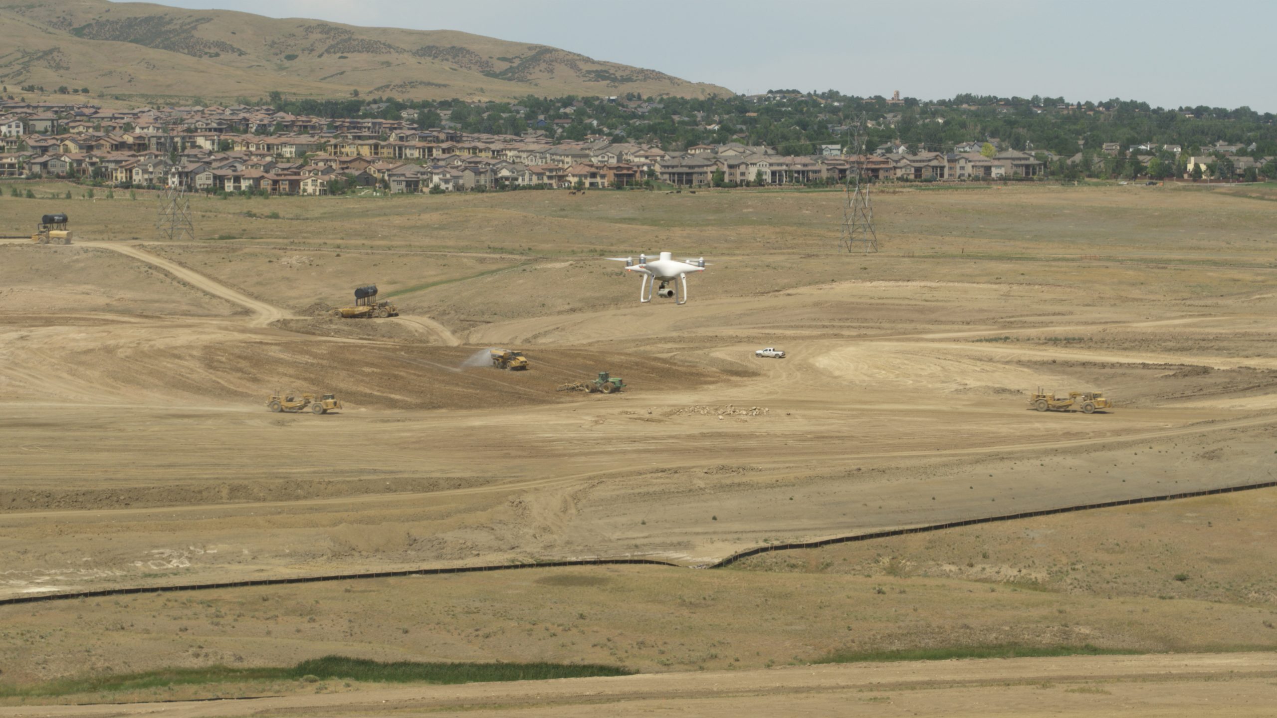
Ground sampling distance, or GSD, is incredibly important for any drone surveyor, or anyone referencing a drone survey at a jobsite, to understand. GSD is the distance between center points of each pixel in your drone mapping survey. You can think of it as the size of one pixel on the ground. In simpler terms, the data collected during a survey gets converted into real-world measurements and distances, and the GSD ensures anyone looking at the survey can translate distances in images to the actual distances on the ground. Read on to learn more about this key concept in drone surveying and how Propeller makes it easy for contractors to achieve accurate GSD for every project.
Survey accuracy depends on ground sample distance
Why is ground sample distance important? To put it simply, the accuracy of any drone surveying project depends on it.
GSD helps surveyors plan their flights, including directing how high the camera will be shooting from and the specific parameters of the camera including sensor width, focal length, and image resolution. It’s important to keep in mind that elevation plays a key role in the accuracy of GSD. For example, if a surveyor is flying a drone over a large pit or tall mound, it will have an effect on the GSD and potentially accuracy of the survey as well.
With a good GSD, it’s easy for anyone referring to the survey to measure distances of objects on the ground to a highly accurate degree. In fact, with top-quality software you can even get measurements that are within just a few centimeters of real-world measurements. Accurate GSD calculations are essential for all high-level survey applications including mining, earthworks, civil construction, and waste management projects.
Once a GSD is calculated, it’s used to guide the drone in flight. GSD determines the following aspects of flight planning:
- The correct altitude for the flight
- The quality of the survey in terms of image resolution
- The camera parameters (sensor width, focal length, resolution)
What’s the ideal ground sample distance height?
How do you determine the ideal ground sample distance for a given survey? As a general rule, a lower GSD leads to a more accurate survey, but the scope of the project you’re surveying will determine the best GSD for your applications. You need to be able to take detailed images of a site while maintaining a high enough altitude to keep the photo count to a manageable level.
A conventional range is between 1.5 to 2.5cm/px (centimeters/pixel), or .6 to 1 inch. This GSD would require a pilot to fly at a low altitude, which isn’t always ideal for large-scale applications. Flying unnecessarily low over a large worksite could result in a much longer flight time and more data to process than you need. Also, flying lower has inherent safety risk and could actually increase the chance of holes in your survey due to vertical objects in the field.
There’s another way to achieve a better GSD—use a high-resolution image sensor in combination with ultra-accurate PPK data. You’ll get a better GSD, more detail in your images, and measurements that reflect actual conditions on the ground.

Handling calculations
Survey teams can calculate ground sample distance manually with a formula, through a GSD calculator, or by leveraging the drone itself.
Manual calculations: Contractors can determine GSD for a project by plugging in appropriate numbers into the following formulas:
- GSD(height) = (flight altitude x sensor height)/(focal length x image height)
- GSD(width) = (flight altitude x sensor width)/(focal length x image width)
After the calculations are determined, the GSD will be the greatest value, or worst-case scenario, of the two.
GSD calculator: Another option is to leverage a GSD calculator to handle the specific calculations. All you need to provide is the data points, including the camera parameters and flight height.
Drone calculations: Survey teams also may opt to let the drone do the heavy lifting by setting the drone to the desired height and letting it to the rest.
Each flight should have an accurate GSD starting point, which directly contributes to the usability of the survey. Propeller’s GSD calculator is a useful tool to help you determine the ideal GSD for your applications, whether you’re working at a construction site, landfill, or quarry. It’s never been easier to determine the right combination of factors for a given project prior to flight, helping your team save time and money.


