
Cross Section Survey in a Matter of Minutes Using Drone Data
With the power of drone-captured data and the Propeller Platform, surveying cross sections becomes as…
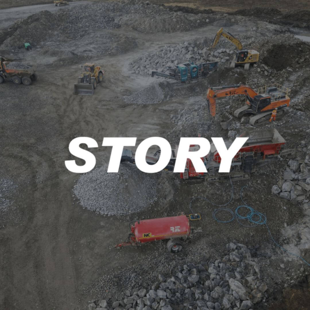
Founded in 1987, Story Contracting is a leading infrastructure and civil engineering company based in the UK. Known for its innovative use of technology and commitment to delivering projects on time, Story has built a reputation for excellence across rail, plant, and construction projects.
By adopting Propeller, Story has been empowered with seamless data sharing and powerful 3D visualisations, transforming site operations, enhancing contract control cost and driving significant project savings.
Key stats:
49 users
334 site measurements
175 surveys
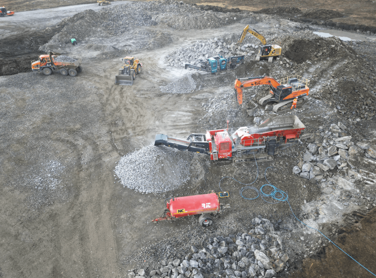
Story Contracting were looking to improve how they accurately manage large complex infrastructure and civil engineering projects. Manual surveying methods and traditional data-sharing processes led to delays, data discrepancies, and inefficiencies, especially when validating contractor work and resolving disputes. The Propeller platform facilitated accurate, up-to-date site data and seamless collaboration between field teams and office staff that was critical to keeping projects on schedule and within budget.
To address these challenges, Story adopted Propeller, to revolutionize their data workflows. The combination of survey-grade drone data, intuitive 3D mapping software, and Propeller’s PPK workflow streamlined the process of collecting, processing, and sharing site data. With AeroPoints providing precise ground control, Story ensured sub-20mm accuracy across projects, significantly enhancing confidence in their data.
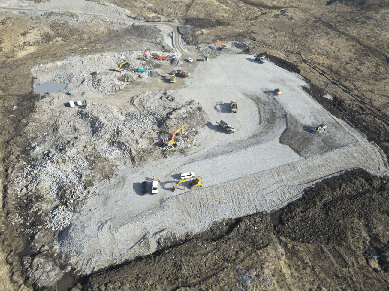
Regular drone flights allow teams to monitor progress and spot trends directly on 3D models, enabling faster decision-making and reducing disputes. This rapid, accurate feedback loop has empowered teams to address issues proactively, avoiding costly rework and delays.
Propeller enables seamless data sharing, making it easier for teams to communicate and collaborate effectively. Project stakeholders can access and review survey data without any specialized hardware or software, streamlining how they distribute insights and coordinate across multiple sites.
Another feature that has been enhanced by the adoption of using Propeller is the ability to provide our Pre-construction team with accurate 3D data for use in adoption of early development to mitigate option selection and protracted stakeholder engagement. The team are now able to analyze, create measurements, cross sections and various other volume calculations in-house. This collectively means projects can be turned around much quicker and more efficiently.
Propeller’s PPK workflow, combined with AeroPoints, ensures that drone data is consistently accurate and easy to process. These smart ground control points deliver survey-grade precision, minimizing errors and reducing the need for manual rework. This upgraded workflow has been instrumental in delivering fast, reliable results across Story’s projects.
With precise 3D models and efficient workflows, Story Contracting is better equipped to quickly validate contractor applications and resolve disputes. By comparing actual site conditions with submitted claims, teams can ensure accuracy, saving time and preventing costly misunderstandings or overpayments.

By incorporating Propeller into their workflow, Story Contracting has not only transformed their site operations but also delivered measurable results. According to the team, “Had it not been for the software and technology on the project, our engineers would not have been able to record all operations in such detail and also have the ability to review the data post operations. This allowed the project and commercial team to compare data sets and validate volumes of stone placement and to reduce the value of subcontractor claims because we could substantiate what was happening on-site. Using Propeller opened many eyes to what the technology is capable of and what we can deliver.”
The software allows project teams to analyze live data with final designs, the turnaround of this feature is very quick and helps highlight any short falls. Without this capability it would have led to slow traditional methods of engineers in the danger zone around large earth moving plant. One standout example came during a project where nearly 5,000 cubic meters of stone was found to be missing from the platform. “Once it was identified, it was quickly rectified with daily progress flights to track the increments. It was an eye-opener for everyone,” the team noted.
Learn more about Propeller’s products, pricing, and how to get started on your site.

