Suez Australia, a part of the worldwide company Suez, helps governments, businesses, and communities access natural resources and create new resources by reusing and recycling water and waste. Across Australia and New Zealand, Suez provides millions of people with waste management and water treatment services.
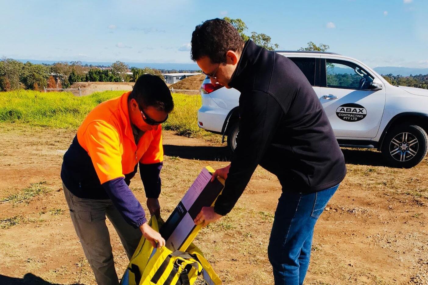
They recently began using drones to survey their landfill sites, after relying on traditional base-and-rover surveying previously. To manage their survey data, they chose the Propeller Platform and are seeing excellent results across the board. Watch their story to learn more.
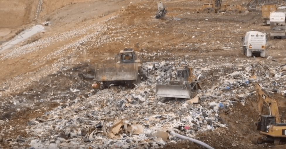
Suez runs multiple landfills throughout Australia
“In Australia, Suez has got seven landfill sites,” said John Jones, Suez Australia’s national landfill technical manager. Jones looks at cell construction and design, along with filling the cells, to increase operational efficiency.
When it comes to improving landfill efficiency, it’s a matter of small changes over long time periods and big surface areas.
Improving compaction saves money over the life of a landfill
“If you can improve the compaction by just a few percentage points, you can save millions of dollars worth of airspace over the life of the landfill site,” Jones said. This also means that you’re extending the life of that site.
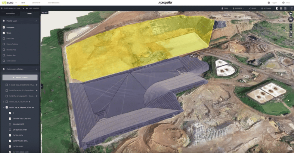
For Suez, they mainly use drones for topographical surveying. They use drone-captured survey data to determine how much waste they can fit in their cells and to calculate compaction rates.
“[Cells] cost millions of dollars to construct, so it’s very important for us to get as much waste as possible into the cells,” said Jones.
Drone surveying allows Suez to survey their landfills more often
With drone surveying and Propeller, Suez Australia can fly more often without sending personnel into dangerous areas on site. Because of such safety concerns and the high cost of traditional surveys, Suez used to do surveys only on a quarterly basis.
Drones provide a more-frequent, less-costly method of data capture, which lets Suez better manage their whole site and individual cells. Basically, “it means we can do the surveys a lot more frequently and then we can take corrective actions more quickly than previously,” said Jones.
“With Propeller . . . I can actually get a survey every 15 days,” said Parth Modi, landfill engineer at Hallam Road landfill.
Modi uses the Propeller Platform as a survey tool in his everyday work. He frequently superimposes the surveys and uses Propeller to calculate the airspace balance. This allows him to predict when the end of a cell’s lifespan will be reached.
Finding the remaining airspace for a cell is easy
“In my role, a lot of things have become very easy,” said Modi about using Propeller in tracking current operations and in planning for the long-term. “I get feedback on the balance of the cell and the compaction densities, which keeps me always on top of the completion dates.”

But using drones and Propeller applies to the whole of site operations, not just individual cell maintenance and management. “With drones, we’re able to get much more accurate surveys across the whole of the landfill,” Jones said. For Hallam Road in particular, some working areas might have been inaccessible on foot when using traditional methods.
Hallam Road’s performance improved in three months with Propeller
Since Suez began surveying more frequently and using Propeller to manage their survey data, they’ve seen performance improvements across the board. For Hallam Road landfill, it took only three months to see a good turnaround.
“We had major issues with the compaction there,” Jones said. But since focusing on surveys with the aim of improving compaction rates and using the Propeller Platform to analyze and visualize that data, “we’ve seen a good improvements at the site—that’s an ongoing improvement, as well, on the compaction.”