Part Two—Software
Following on from our previous article, which covered selecting the right hardware for your surveying operations, today we’ll be covering the actual flight, plus how to process and use the data.
Flight Planning Apps
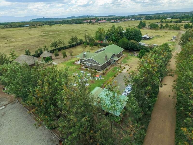
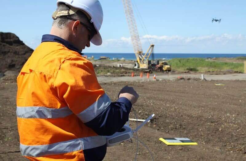
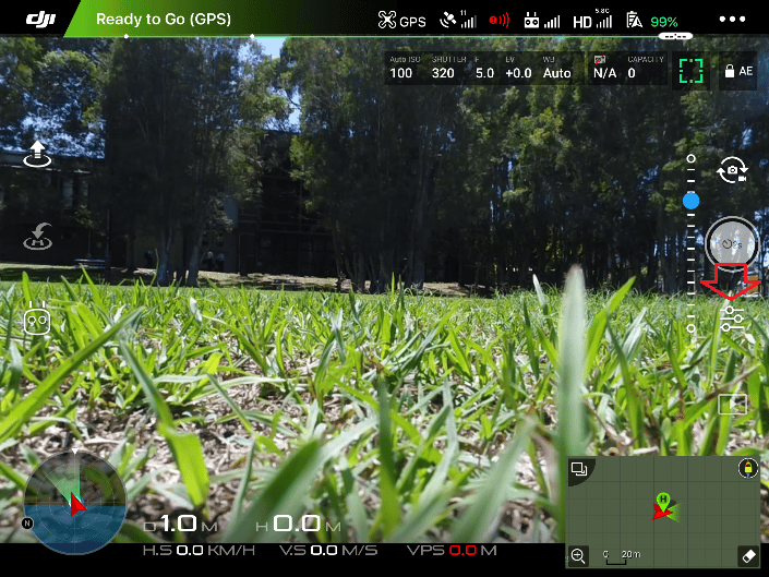
You’ll want to get a flight planning app to get the drone to autonomously fly and take all of the required pictures, so you can just keep an eye on it, rather than having to fly the drone around and manually take photos. Even flight paths also lead to much better quality data.
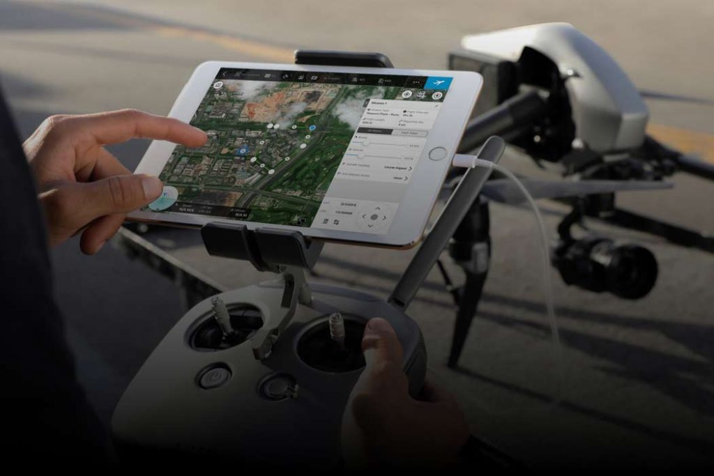
There are plenty of apps available that do a great job of this. We recommend DJI’s GS Pro app, but if you’re already using another app and it is working well, just keep using that.
Processing / Measurement / Visualization Software
Once you have all of your photos and ground control data, you need software to stitch the images together, powerful machines and a data expert to pin the images to the ground control positions and guarantee a high level of accuracy.
Again there are many options available in this space, with several considerations to make. These are outlined below.
Working in Agriculture or Farming?
If you’re doing anything like scanning crops with NDVI, etc., we recommend using Drone Deploy or PrecisionHawk. Both companies are focused heavily on agriculture.
Desktop or Cloud?
Processing photogrammetry is a resource intensive process and also requires a high level of technical knowledge from the person running it. This means that you need powerful machines and the time of skilled personnel to run it (data expert/surveyors that know to run them). Both of these are expensive, and both are difficult to scale up with your business.
The real question here is how much of your and your team’s time will be required to process your current and future workload every day, and would that time be better spent doing other work?
Desktop processing usually works well when starting out or when just processing data from a single site or drone, but if you are trying to deal with multiple surveys simultaneously this method typically does not scale well.
The answers to these questions almost always point toward cloud computing, which is why we recommend using it. Cloud-based applications in general are the most cost effective way of leveraging powerful computing power that scales well with your business and requires no installation nor maintenance on your end.
That said, if you are set on processing locally, have the time and resources to spend on processing data, the skills to do so and you aren’t expecting any rapid growth in your business in the foreseeable future, we recommend using Pix4D for your processing. Propeller can accept the files generated in Pix4D so you can continue to use our platform for collaboration and sharing.
Flexibility
There is no single platform that does everything well, therefore it’s important to make sure that the software you choose is fit for your particular purpose. The one-stop-shop photogrammetry solution does not exist yet.
This is why flexibility is so important.
Make sure that whatever software you go with is able to import and export major file formats and work in your coordinate reference system(s) so that you can use each of your tools without getting all of your data stuck in one of them (data silos).
For instance, you need this flexibility so that you can work with your business’s/clients’ existing CAD/geospatial packages like Esri’s ArcGIS and Global Mapper, etc.
Also, it’s important that your software is not linked to any particular drone. Drone technology is rapidly progressing, and it’s vital that your software can work with new drones as they come out so you can take advantage of longer flight times, better navigation and new features that make your workflow easier.
3D Measurements
You’ll quickly learn that 3D scans aren’t very useful if you can’t do 3D measurements, such as:
- Topographic contour profiles
- Surface distances
- Cross sectional profile
- Grades and slopes
- 3D volumetrics (stockpile measurement, drop cut estimations, etc.)
If any of these measurements are important to you, make sure you check that the software you purchase can perform them.
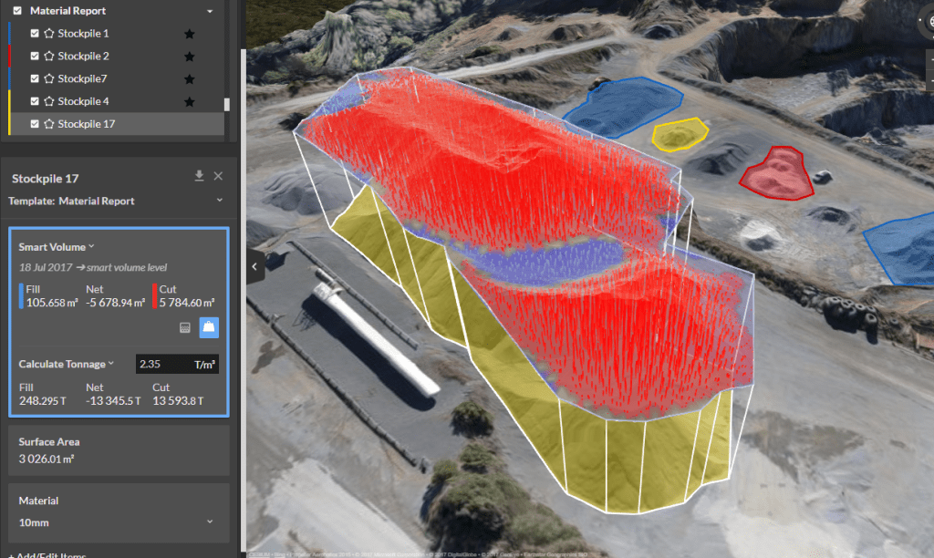
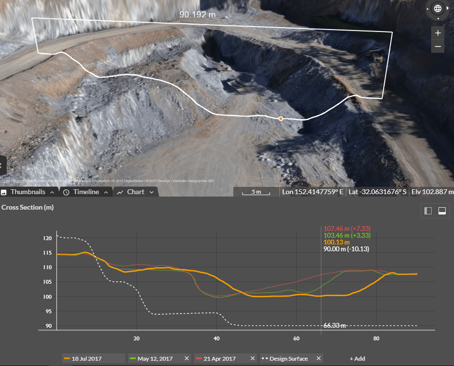
3D volumetrics and cross-sectional measurements on the Propeller Platform
Ease of Use
Having a platform that is easy to use is essential to being able to train new people quickly and ensuring enduring capability of your team without the need for “experts” or “gurus” who have managed to figure out how to use it.
This may sound obvious, but it’s a surprisingly common problem.
To assess this, we recommend getting an online demo of any software you’re planning on using before you purchase it.
Accuracy
Having the right tools for a job is important, although if you don’t have the right people using those tools it’s just as bad.
Make sure that whoever is processing your data (whether local or cloud-based) is an expert in the field. Depending on your selected software and each particular scenario, this can mean the difference between accurate, useful data and potentially unusable data.
Conclusion
At the start of this series, we mentioned that commercial drones and cloud software are biggest change to surveying since GPS. Keep in mind that the technology available is continuously improving, so keep up with the drone news and major product announcements.
If you’re working in construction, mining, aggregates, or waste management industry, we suggest you also view the Propeller Platform demo and check if this site intelligence solution can fit into your existing workflows.