Using Drones for Mining: the Beginner’s Guide

Read Time: < 1 min
Quick links

    So you want to use a drone on your site?

    Advances in technology have made the drone an affordable tool for worksites. While they may seem like fancy pieces of equipment, drones have become no more unusual than a GPS rover, but just as vital in recent years.

    Unlike traditional surveying equipment, however, you don’t need tons of special training and education to use it.

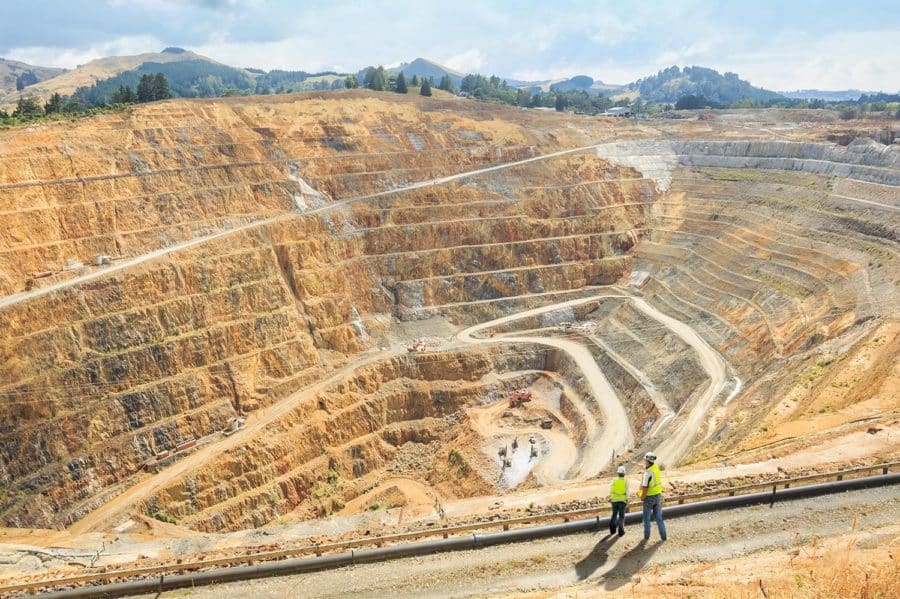
    Used correctly, drones enable faster, more economical and higher-resolution surveying, without sacrificing on accuracy. A successful drone program can provide your business with accurate, up-to-date information on your site’s progress and productivity, and information you can use to ensure high-quality work and minimize operational risks and costs.

    Collecting and processing your data is only half the story. Web-based platforms can translate your raw data into something readable and actionable. Take our own Propeller Platform: it takes your data and transforms it into a 3D survey of your site. Fully navigable. Fully measurable. It’s run in your browser, so you can forget about the clunky and complex desktop software of the past.

    Quick links

      Related articles

      Drone pilot in hi-vis flying a drone next to a crane, with an AeroPoint on the floor.

      Things To Know About Ground Control in Drone Surveying

      Ground control is the go-to option for turning drone data into highly accurate, survey-grade models.…
      DJI M4E flying in the sky

      Propeller’s Drone Guide: DJI Solutions for Commercial Operations

      At Propeller we love testing new drone hardware and we are processing hundreds of drone…

      Telecom Tower Inspection using DJI Phantom 4 Pro: Step-by-Step Guide

      A few weeks ago a new DJI Phantom 4 Pro was delivered to our office.…

      Ready to learn how Propeller can power up your worksite?

      We’re happy to show you how Propeller can power your worksite, and boost productivity.

      Related articles

      Drone pilot in hi-vis flying a drone next to a crane, with an AeroPoint on the floor.

      Things To Know About Ground Control in Drone Surveying

      Ground control is the go-to option for turning drone data into highly accurate, survey-grade models.…
      DJI M4E flying in the sky

      Propeller’s Drone Guide: DJI Solutions for Commercial Operations

      At Propeller we love testing new drone hardware and we are processing hundreds of drone…

      Telecom Tower Inspection using DJI Phantom 4 Pro: Step-by-Step Guide

      A few weeks ago a new DJI Phantom 4 Pro was delivered to our office.…