Surveying tricky construction, mining, and industrial sites comes with trade-offs: tight spaces, cluttered yards, and busy or hazardous conditions. Teams need reliable data without adding workflow headaches.
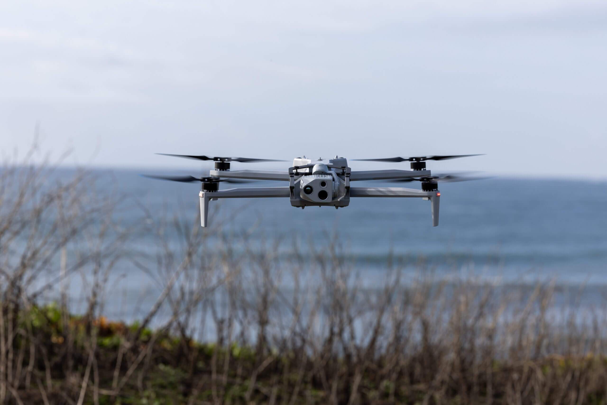
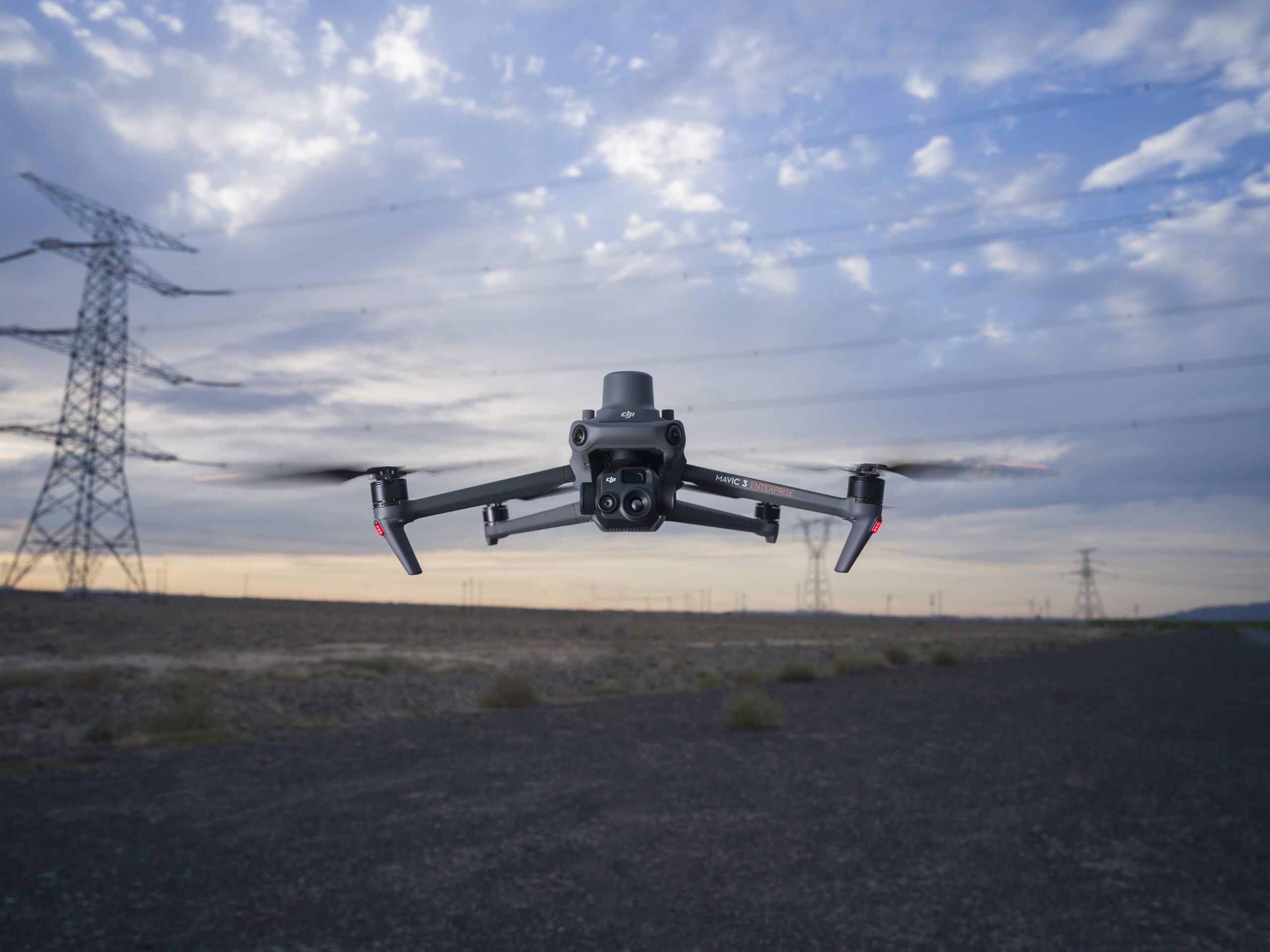
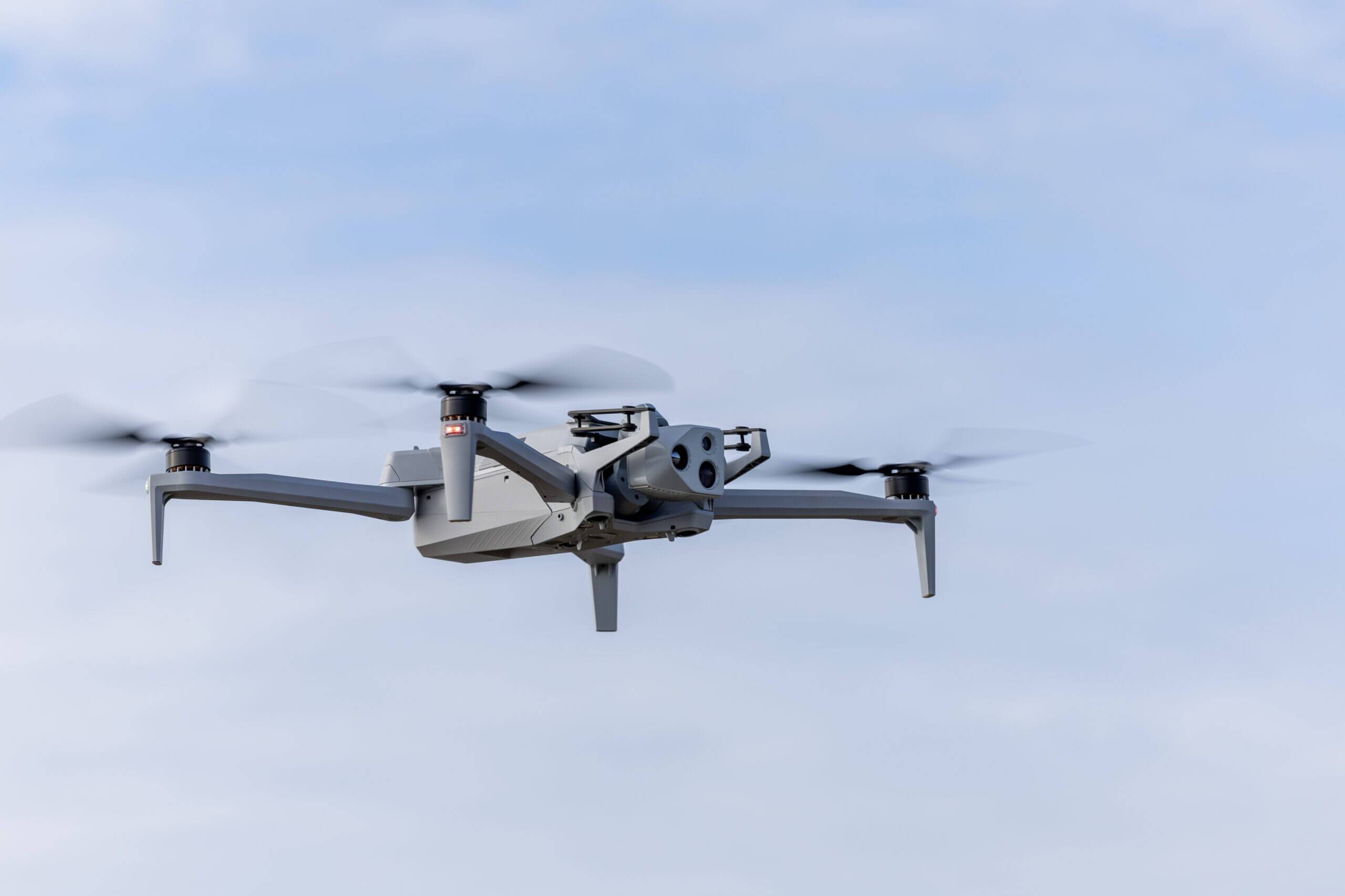
That’s why Propeller now supports the Skydio X10, a US-made drone built for precision, reliability, and seamless integration.
Why the Skydio X10 matters for your team
Survey and technical managers balance speed, accuracy, and compliance every day. The Skydio X10 addresses three key needs:
- Regulatory confidence – fully US-made, NDAA compliant, non-chinese drone removes uncertainty tied to potential restrictions
- Consistent accuracy – integrated with Propeller PPK workflow for 3-7cm precision across complex sites
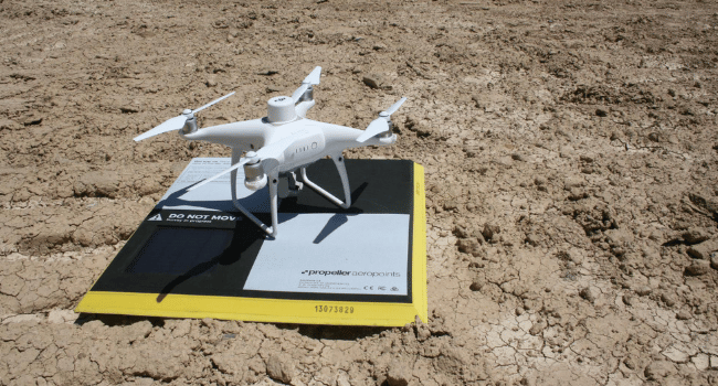
- Efficient workflows – AeroPoints (minimum of 3) and automated processing mean fast, ready-to-use maps
Built for sites where other drones struggle
Industrial yards or rugged terrain can ground most drones. The Skydio X10 is designed to keep flying where others stop. Its rugged build ensures your drone stays operational and your site data remains consistent.
Capture data faster, make decisions sooner
With advanced autonomy and Propeller’s automated processing, the X10 reduces manual flying and post-processing work. Your team spends less time managing flights and more time verifying work, identifying issues, and making confident decisions on site.
A seamless addition to Propeller’s ecosystem
The Skydio X10 works hand-in-hand with Propeller’s platform. PPK-enabled imagery feeds directly into your existing workflow, delivering centimeter-level accuracy with minimal manual effort. Adding it to your drone toolkit doesn’t change your processes. It expands your options while keeping your maps reliable and actionable.
Key benefits at a glance
- More flexibility, more control – integrate the X10 with simple training and setup
- Accuracy you can trust – consistent 3-7cm precision with AeroPoints
- Faster insights – automated processing turns imagery into maps ready for decision-making
The Skydio X10 joins Propeller’s lineup of PPK-enabled drones, giving teams high-accuracy, future-ready mapping for even the most complex sites. From dense yards to rugged slopes, your team can stay on schedule, reduce rework, and make confident decisions every day.