“I think the datasets speak for themselves. It’s nothing that you have to bring anyone onboard with. It’s data that’s intrinsically and obviously valuable.”

Whether you’re curious about boosting efficiency, best practices for surveying, cost impacts, safety concerns, or exploring new frontiers, we’re here to help.
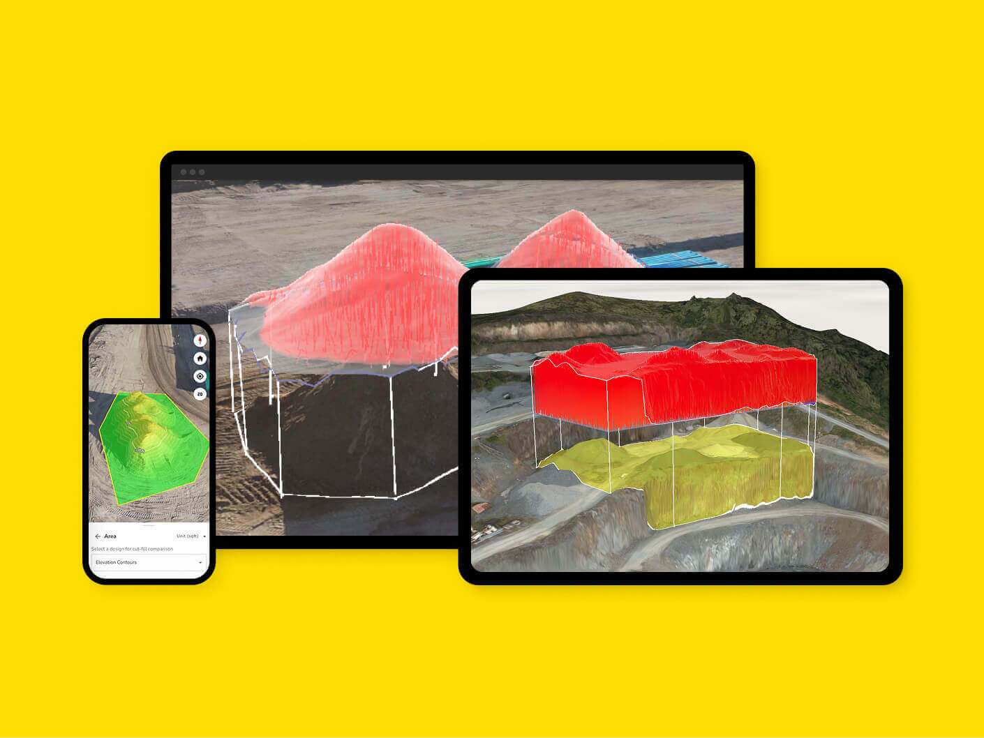
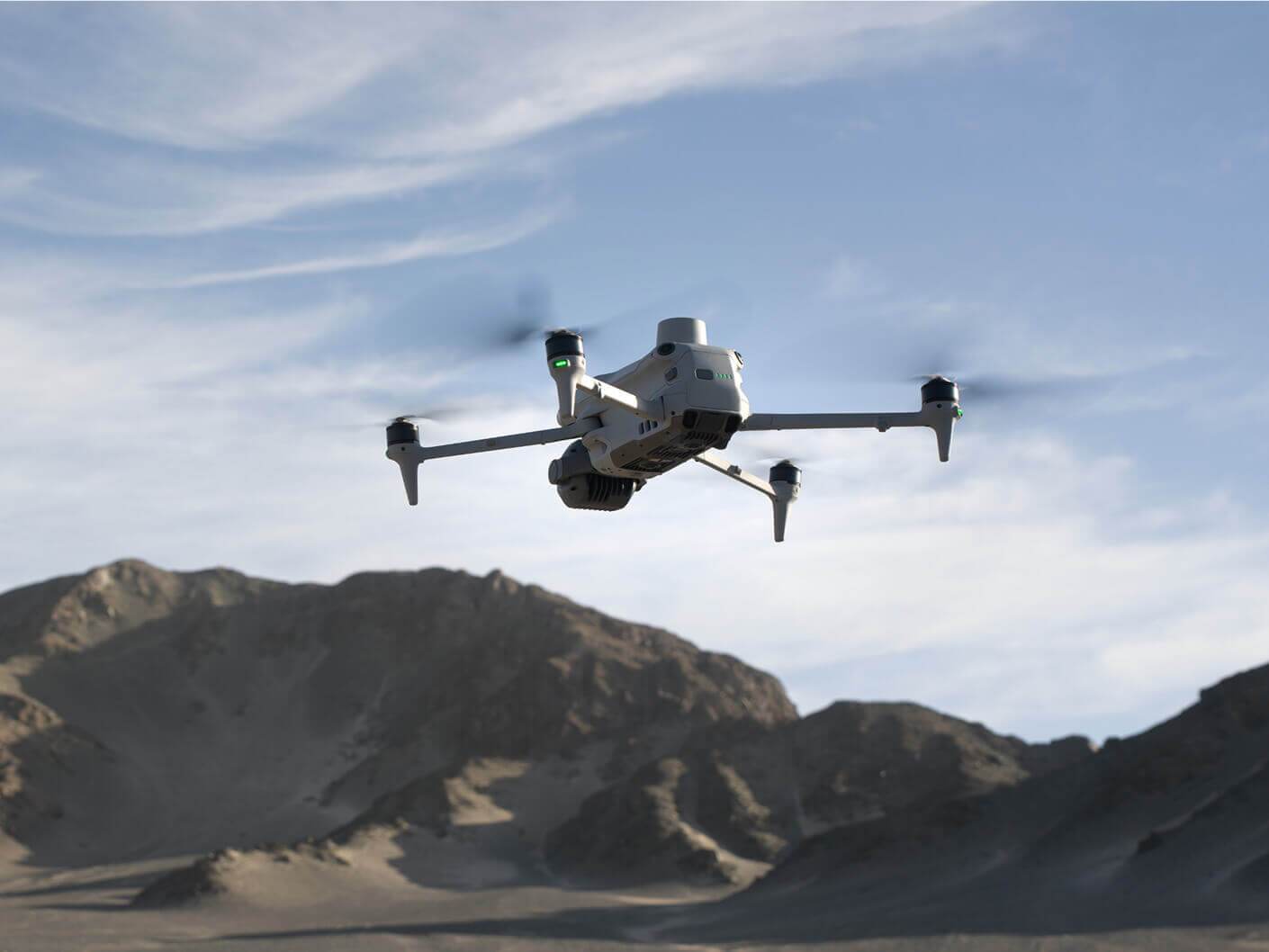
Discover how drones and UAVs enhance efficiency and safety in mining operations, learn the best practices for utilizing drones for surveying and mapping, and review their impact on overall cost and productivity in the mining industry.
Understand the regulatory and safety concerns involved in deploying drones, and explore the benefits of drones in mining exploration. Reach out to us through the contact form to discuss how to establish a drone program at your mine site.
“I think the datasets speak for themselves. It’s nothing that you have to bring anyone onboard with. It’s data that’s intrinsically and obviously valuable.”
“Propeller’s outsourced processing gets us data back much faster, and the accuracy is great. The whole process is so easy, I could almost have my kid do it”.
Make the map a meeting ground where your project teams can access critical insights on their own.
Manage AeroPoints usage, monitor hardware health, and run accuracy diagnostics from a personalized dashboard.
Scale up at your own pace, without adding resources. Just drag and drop your dataset into Propeller, and we’ll send back a high-accuracy 3D map in return.
Production teams use the DirtMate Dashboard to track daily volumes and access productivity insights.
We’ve broken down our entire Propeller offering into three easy-to-follow modules.
Drone setup
AeroPoints overview
Flight checklist
Data capture workflow
Platform overview
Measuring with survey data
Managing your site
Files + collaboration
Reporting